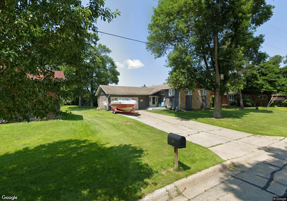
274 Cannon View Dr Red Wing, MN 55066
Estimated Value: $344,227 - $483,000
4
Beds
3
Baths
1,634
Sq Ft
$244/Sq Ft
Est. Value
About This Home
This home is located at 274 Cannon View Dr, Red Wing, MN 55066 and is currently estimated at $398,057, approximately $243 per square foot. 274 Cannon View Dr is a home located in Goodhue County with nearby schools including Burnside Elementary School, Sunnyside Elementary School, and Twin Bluff Middle School.
Ownership History
Date
Name
Owned For
Owner Type
Purchase Details
Closed on
Jan 23, 2017
Sold by
Sparby Nicholas L and Sparby Calli J
Bought by
Sparby Nicholas L and Sparby Calli J
Current Estimated Value
Purchase Details
Closed on
Dec 28, 2016
Sold by
Harris Michael J and Donald F Harris 1996 Revocable
Bought by
Sparby Nicholas L and Sparby Calli J
Create a Home Valuation Report for This Property
The Home Valuation Report is an in-depth analysis detailing your home's value as well as a comparison with similar homes in the area
Home Values in the Area
Average Home Value in this Area
Purchase History
| Date | Buyer | Sale Price | Title Company |
|---|---|---|---|
| Sparby Nicholas L | -- | None Available | |
| Sparby Nicholas L | -- | None Available | |
| Sparby Nicholas L | $303,000 | None Available | |
| Sparby Nicholas L | $303,000 | None Available |
Source: Public Records
Tax History Compared to Growth
Tax History
| Year | Tax Paid | Tax Assessment Tax Assessment Total Assessment is a certain percentage of the fair market value that is determined by local assessors to be the total taxable value of land and additions on the property. | Land | Improvement |
|---|---|---|---|---|
| 2025 | $4,452 | $349,900 | $61,500 | $288,400 |
| 2024 | $4,452 | $342,300 | $61,500 | $280,800 |
| 2023 | $2,222 | $324,400 | $61,500 | $262,900 |
| 2022 | $3,964 | $322,300 | $61,500 | $260,800 |
| 2021 | $3,708 | $275,500 | $61,500 | $214,000 |
| 2020 | $3,656 | $262,500 | $61,500 | $201,000 |
| 2019 | $3,660 | $243,500 | $61,500 | $182,000 |
| 2018 | $2,704 | $246,400 | $59,200 | $187,200 |
| 2017 | $2,884 | $200,200 | $59,200 | $141,000 |
| 2016 | $2,658 | $197,600 | $59,200 | $138,400 |
| 2015 | $2,576 | $190,800 | $59,200 | $131,600 |
| 2014 | -- | $183,500 | $59,200 | $124,300 |
Source: Public Records
Map
Nearby Homes
- 4336 Lookout Ln
- 132 Motel Ave
- 168 Johnson Ave
- 232 Fern Ave
- 240 Motel Ave
- 237 Motel Ave
- 135 Kingswood Dr
- 980 Aurora Cir
- 808 Aurora Cir
- 853 Aurora Cir
- 936 Aurora Cir
- 912 Aurora Cir
- 4739 Big Sky Ct
- 4786 Mount Hood Ln
- 906 Snowbird Dr
- 910 Snowbird Dr
- 921 Snowbird Dr
- 914 Snowbird Dr
- 3560 Graves Dr
- 4958 Chalet Ct
- 264 Cannon View Dr
- 282 Cannon View Dr
- 269 Cannon View Dr
- 256 Cannon View Dr
- 263 Cannon View Dr
- 308 Cannon View Dr
- 248 Cannon View Dr
- 253 Cannon View Dr
- 4249 Wright St
- 4262 Griffin St
- 240 Cannon View Dr
- 316 Cannon View Dr
- 4241 Wright St
- 319 Cannon View Dr
- 4325 Lookout Ln
- 4254 Griffin St
- 237 Cannon View Dr
- 4312 Lookout Ln
- 326 Cannon View Dr
- 329 Cannon View Dr