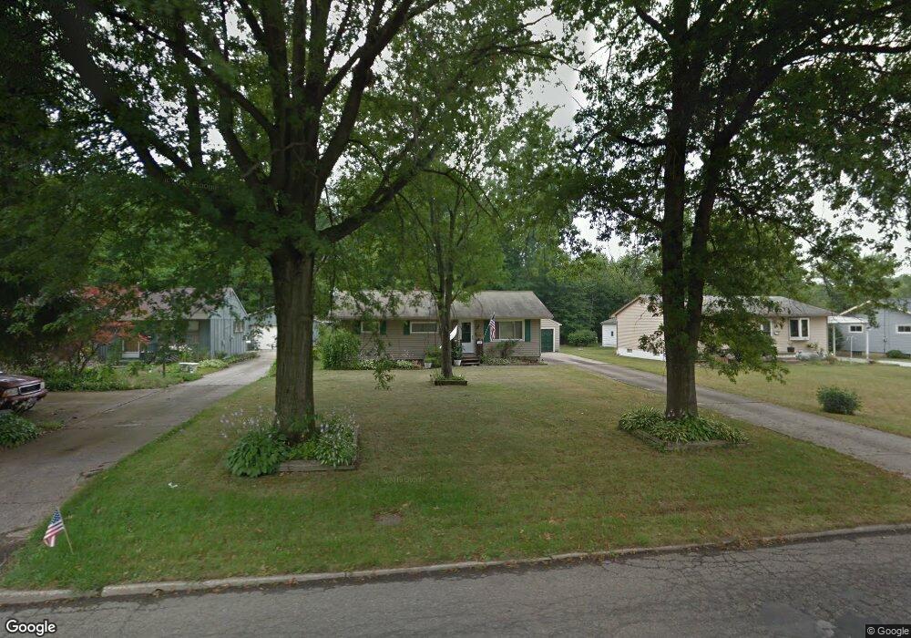
274 Dehoff Dr Youngstown, OH 44515
Austintown NeighborhoodEstimated Value: $141,418 - $165,000
3
Beds
1
Bath
1,008
Sq Ft
$151/Sq Ft
Est. Value
About This Home
This home is located at 274 Dehoff Dr, Youngstown, OH 44515 and is currently estimated at $152,105, approximately $150 per square foot. 274 Dehoff Dr is a home located in Mahoning County with nearby schools including Austintown Elementary School, Austintown Intermediate School, and Austintown Middle School.
Ownership History
Date
Name
Owned For
Owner Type
Purchase Details
Closed on
Oct 17, 2007
Sold by
Staraitis Joseph D and Staraitis Rita L
Bought by
Staraitis Joey
Current Estimated Value
Home Financials for this Owner
Home Financials are based on the most recent Mortgage that was taken out on this home.
Original Mortgage
$64,600
Outstanding Balance
$40,581
Interest Rate
6.33%
Mortgage Type
Purchase Money Mortgage
Estimated Equity
$111,524
Purchase Details
Closed on
Jul 25, 2002
Sold by
Batcha Linda L
Bought by
Staraitis Joseph D and Staraitis Rita L
Home Financials for this Owner
Home Financials are based on the most recent Mortgage that was taken out on this home.
Original Mortgage
$63,750
Interest Rate
6.7%
Purchase Details
Closed on
May 22, 1991
Bought by
Batcha Linda L
Create a Home Valuation Report for This Property
The Home Valuation Report is an in-depth analysis detailing your home's value as well as a comparison with similar homes in the area
Home Values in the Area
Average Home Value in this Area
Purchase History
| Date | Buyer | Sale Price | Title Company |
|---|---|---|---|
| Staraitis Joey | $87,000 | Attorney | |
| Staraitis Joseph D | $75,000 | -- | |
| Batcha Linda L | $47,000 | -- |
Source: Public Records
Mortgage History
| Date | Status | Borrower | Loan Amount |
|---|---|---|---|
| Open | Staraitis Joey | $64,600 | |
| Previous Owner | Staraitis Joseph D | $63,750 |
Source: Public Records
Tax History Compared to Growth
Tax History
| Year | Tax Paid | Tax Assessment Tax Assessment Total Assessment is a certain percentage of the fair market value that is determined by local assessors to be the total taxable value of land and additions on the property. | Land | Improvement |
|---|---|---|---|---|
| 2024 | $1,803 | $39,370 | $7,050 | $32,320 |
| 2023 | $1,775 | $39,370 | $7,050 | $32,320 |
| 2022 | $1,482 | $26,350 | $6,210 | $20,140 |
| 2021 | $1,483 | $26,350 | $6,210 | $20,140 |
| 2020 | $1,489 | $26,350 | $6,210 | $20,140 |
| 2019 | $1,411 | $22,720 | $5,360 | $17,360 |
| 2018 | $1,357 | $22,720 | $5,360 | $17,360 |
| 2017 | $1,354 | $22,720 | $5,360 | $17,360 |
| 2016 | $1,429 | $23,740 | $5,360 | $18,380 |
| 2015 | $1,385 | $23,740 | $5,360 | $18,380 |
| 2014 | $1,392 | $23,740 | $5,360 | $18,380 |
| 2013 | $1,377 | $23,740 | $5,360 | $18,380 |
Source: Public Records
Map
Nearby Homes
- 238 Aldrich Rd
- 285 Aldrich Rd
- 211 Aldrich Rd
- 5109 W Elmwood Ave
- 148 Marcia Dr
- 5179 Willow Crest Ave
- 124 S Inglewood Ave
- 5604 Colgate Ave
- 1244 Cross Dr
- 3794-3796 Mahoning Ave
- 5559 London Dr
- 1393 Cross Cove
- 5560 Madrid Dr
- 5640 Baylor Ave
- 5664 Colgate Ave
- 1707 Westhampton Dr
- 0 Madrid Dr
- 1608 Westhampton Dr
- 5633 London Dr
- 5451 Virginia Dr