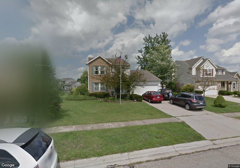
274 Forge Dr Lebanon, OH 45036
Estimated Value: $331,000 - $341,000
3
Beds
3
Baths
1,610
Sq Ft
$208/Sq Ft
Est. Value
About This Home
This home is located at 274 Forge Dr, Lebanon, OH 45036 and is currently estimated at $334,439, approximately $207 per square foot. 274 Forge Dr is a home located in Warren County with nearby schools including Bowman Primary School, Donovan Elementary School, and Berry Intermediate School.
Ownership History
Date
Name
Owned For
Owner Type
Purchase Details
Closed on
Jul 7, 1999
Sold by
Crossmann Communities Of
Bought by
Sapp Marty L and Sapp Julie A
Current Estimated Value
Home Financials for this Owner
Home Financials are based on the most recent Mortgage that was taken out on this home.
Original Mortgage
$122,315
Outstanding Balance
$30,297
Interest Rate
7.28%
Mortgage Type
New Conventional
Estimated Equity
$304,142
Create a Home Valuation Report for This Property
The Home Valuation Report is an in-depth analysis detailing your home's value as well as a comparison with similar homes in the area
Home Values in the Area
Average Home Value in this Area
Purchase History
| Date | Buyer | Sale Price | Title Company |
|---|---|---|---|
| Sapp Marty L | $143,900 | -- |
Source: Public Records
Mortgage History
| Date | Status | Borrower | Loan Amount |
|---|---|---|---|
| Open | Sapp Marty L | $122,315 |
Source: Public Records
Tax History
| Year | Tax Paid | Tax Assessment Tax Assessment Total Assessment is a certain percentage of the fair market value that is determined by local assessors to be the total taxable value of land and additions on the property. | Land | Improvement |
|---|---|---|---|---|
| 2025 | $3,696 | $87,000 | $26,250 | $60,750 |
| 2024 | $3,696 | $87,000 | $26,250 | $60,750 |
| 2023 | $3,153 | $66,731 | $12,915 | $53,816 |
| 2022 | $3,283 | $66,731 | $12,915 | $53,816 |
| 2021 | $3,101 | $66,731 | $12,915 | $53,816 |
| 2020 | $2,984 | $54,254 | $10,500 | $43,754 |
| 2019 | $2,998 | $54,254 | $10,500 | $43,754 |
| 2018 | $2,578 | $54,254 | $10,500 | $43,754 |
| 2017 | $2,558 | $48,297 | $9,499 | $38,798 |
| 2016 | $2,639 | $48,297 | $9,499 | $38,798 |
| 2015 | $2,658 | $48,297 | $9,499 | $38,798 |
| 2014 | $2,587 | $45,140 | $8,880 | $36,260 |
| 2013 | $2,497 | $53,390 | $10,500 | $42,890 |
Source: Public Records
Map
Nearby Homes
- 1295 Locust Forge Ln
- 0 Holland Ave Unit 1862301
- 0 Holland Ave Unit 948021
- 1300 Deerfield Rd
- 106 Fieldstone Way
- 375 Belmont Ct
- 447 Lake Haven Ct
- 418 Lake Front Dr
- 426 Lake Front Dr
- 441 Lake Front Dr
- 471 Lake Front Dr
- 345 Countryside Dr
- 597 Deerfield Rd
- 826 W Turtlecreek Union Rd
- 492 Silverwood Farms Dr
- 504 Creekside Ln
- 508 Creekside Ln
- B Nelson Ln
- 107 Parkview St
- 444 E Main St
- 278 Forge Dr
- 270 Forge Dr
- 271 Wood Forge Cir
- 282 Forge Dr
- 277 Wood Forge Cir
- 265 Wood Forge Cir
- 1270 Shattuck St
- 283 Wood Forge Cir
- 286 Forge Dr
- 1271 Shattuck St
- 289 Wood Forge Cir
- 261 Wood Forge Cir
- 283 Forge Dr
- 290 Forge Dr
- 1274 Shattuck St
- 270 Wood Forge Cir
- 287 Forge Dr
- 293 Wood Forge Cir
- 257 Wood Forge Cir
- 294 Forge Dr