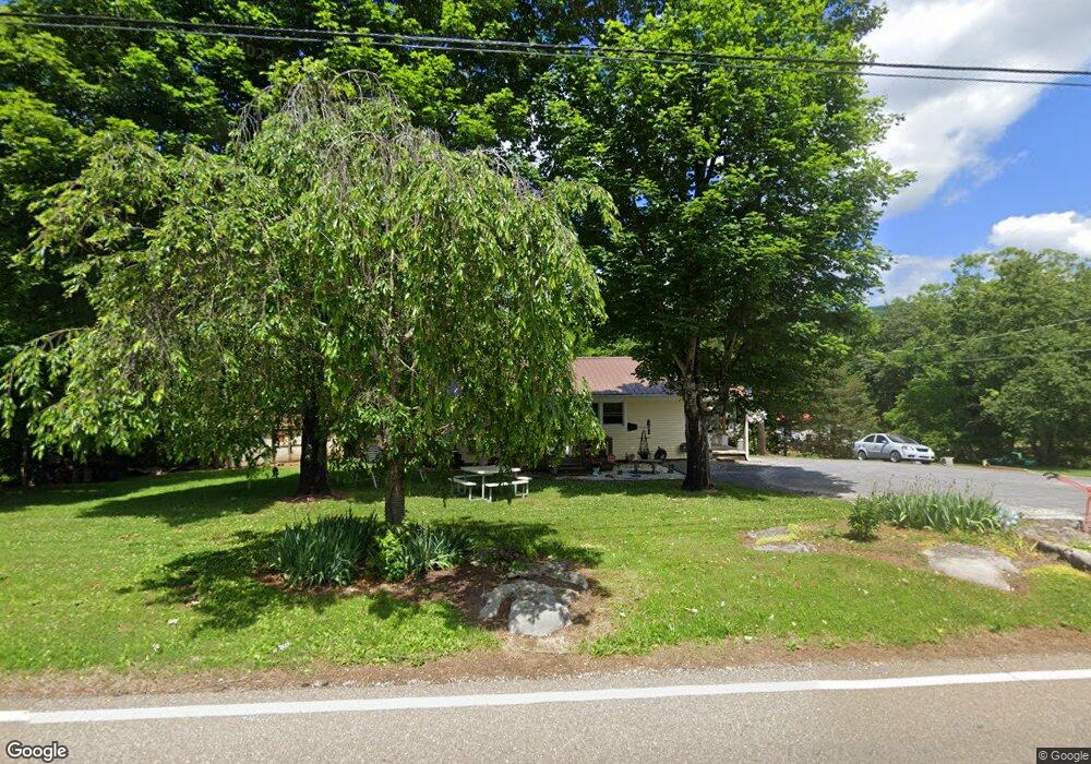
274 Highway 92 Rutledge, TN 37861
Estimated Value: $104,373 - $206,000
--
Bed
1
Bath
792
Sq Ft
$212/Sq Ft
Est. Value
About This Home
This home is located at 274 Highway 92, Rutledge, TN 37861 and is currently estimated at $168,093, approximately $212 per square foot. 274 Highway 92 is a home located in Grainger County with nearby schools including Rutledge Primary School, Rutledge Elementary School, and Rutledge Middle School.
Ownership History
Date
Name
Owned For
Owner Type
Purchase Details
Closed on
May 23, 2006
Sold by
Rainey David M
Bought by
Bray April
Current Estimated Value
Home Financials for this Owner
Home Financials are based on the most recent Mortgage that was taken out on this home.
Original Mortgage
$49,820
Outstanding Balance
$36,906
Interest Rate
12%
Mortgage Type
Cash
Estimated Equity
$131,187
Purchase Details
Closed on
Aug 18, 1989
Bought by
Rainey
Purchase Details
Closed on
Aug 17, 1989
Bought by
Rainey
Purchase Details
Closed on
Oct 20, 1986
Bought by
Rainey David M
Purchase Details
Closed on
Jun 6, 1986
Create a Home Valuation Report for This Property
The Home Valuation Report is an in-depth analysis detailing your home's value as well as a comparison with similar homes in the area
Home Values in the Area
Average Home Value in this Area
Purchase History
| Date | Buyer | Sale Price | Title Company |
|---|---|---|---|
| Bray April | $49,820 | -- | |
| Rainey | -- | -- | |
| Rainey | -- | -- | |
| Rainey David M | -- | -- | |
| -- | $19,000 | -- |
Source: Public Records
Mortgage History
| Date | Status | Borrower | Loan Amount |
|---|---|---|---|
| Open | Not Available | $49,820 |
Source: Public Records
Tax History Compared to Growth
Tax History
| Year | Tax Paid | Tax Assessment Tax Assessment Total Assessment is a certain percentage of the fair market value that is determined by local assessors to be the total taxable value of land and additions on the property. | Land | Improvement |
|---|---|---|---|---|
| 2025 | -- | $12,950 | $0 | $0 |
| 2024 | -- | $12,950 | $3,725 | $9,225 |
| 2023 | $0 | $12,950 | $3,725 | $9,225 |
| 2022 | $297 | $12,950 | $3,725 | $9,225 |
| 2021 | $297 | $12,950 | $3,725 | $9,225 |
| 2020 | $305 | $12,950 | $3,725 | $9,225 |
| 2019 | $305 | $10,900 | $3,725 | $7,175 |
| 2018 | $257 | $10,600 | $3,725 | $6,875 |
| 2017 | $257 | $10,600 | $3,725 | $6,875 |
| 2016 | $257 | $10,600 | $3,725 | $6,875 |
| 2015 | $243 | $10,600 | $3,725 | $6,875 |
| 2014 | $243 | $9,719 | $0 | $0 |
Source: Public Records
Map
Nearby Homes
- 0 Silent Ln Unit 1299563
- 8445 U S 11w
- 979 Tennessee 92
- 979 Highway 92
- 0 Poor Valley Rd Unit 1281719
- 0 Poor Valley Rd Unit 1220825
- 3500 Poor Valley Rd
- Lot 6 Scenic View Dr
- 172 W Hills Rd
- 621 Carrol Greenlee Rd
- 0 Owens Ln
- Lot 100 Shiloh Springs Rd
- Lot 64 Shiloh Springs Rd
- Lot 141 Tumbleweed Trail
- Lot 11 Pocahontas Ln
- 6555 Rutledge Pike
- 5 Greenlee Rd
- 1711 Rocky Branch Rd
- 70 acres+- Perrin Hill Rd
- 6575 Highway 131