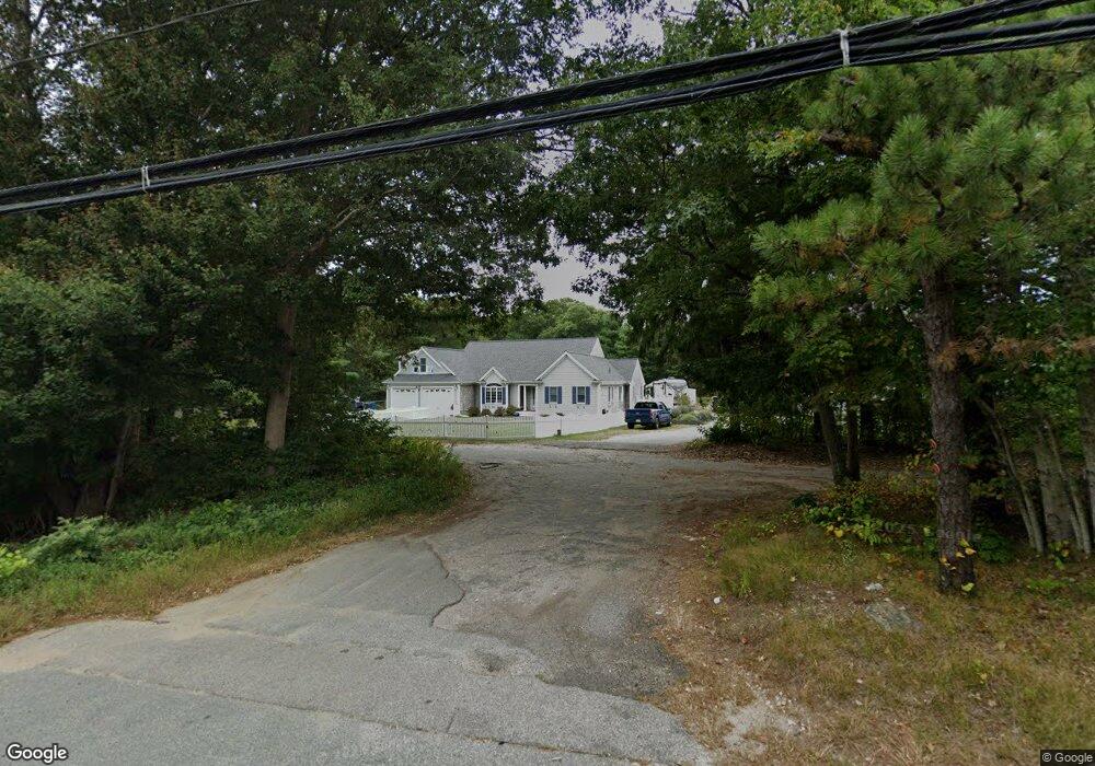
274 Sandwich Rd East Falmouth, MA 02536
Hatchville NeighborhoodEstimated Value: $735,000 - $1,218,000
3
Beds
3
Baths
2,964
Sq Ft
$333/Sq Ft
Est. Value
About This Home
This home is located at 274 Sandwich Rd, East Falmouth, MA 02536 and is currently estimated at $987,677, approximately $333 per square foot. 274 Sandwich Rd is a home located in Barnstable County with nearby schools including Mullen-Hall School, Morse Pond School, and Lawrence School.
Ownership History
Date
Name
Owned For
Owner Type
Purchase Details
Closed on
Jan 23, 2015
Sold by
Smith Sharon E
Bought by
274 Sandwich Road Rt and Smith
Current Estimated Value
Purchase Details
Closed on
Sep 23, 2014
Sold by
Smith Darryl J and Smith Sharon E
Bought by
Smith Sharon E
Purchase Details
Closed on
Jan 29, 2002
Sold by
Blackwatch Llc
Bought by
Smith Darryl J and Smith Sharon E
Create a Home Valuation Report for This Property
The Home Valuation Report is an in-depth analysis detailing your home's value as well as a comparison with similar homes in the area
Home Values in the Area
Average Home Value in this Area
Purchase History
| Date | Buyer | Sale Price | Title Company |
|---|---|---|---|
| 274 Sandwich Road Rt | -- | -- | |
| Smith Sharon E | -- | -- | |
| Smith Darryl J | $107,500 | -- |
Source: Public Records
Mortgage History
| Date | Status | Borrower | Loan Amount |
|---|---|---|---|
| Previous Owner | Smith Darryl J | $105,000 | |
| Previous Owner | Smith Darryl J | $100,000 | |
| Previous Owner | Smith Darryl J | $175,000 |
Source: Public Records
Tax History Compared to Growth
Tax History
| Year | Tax Paid | Tax Assessment Tax Assessment Total Assessment is a certain percentage of the fair market value that is determined by local assessors to be the total taxable value of land and additions on the property. | Land | Improvement |
|---|---|---|---|---|
| 2025 | $5,283 | $900,000 | $193,700 | $706,300 |
| 2024 | $4,756 | $757,400 | $183,700 | $573,700 |
| 2023 | $4,332 | $626,000 | $183,700 | $442,300 |
| 2022 | $4,287 | $532,500 | $138,500 | $394,000 |
| 2021 | $4,169 | $490,500 | $132,500 | $358,000 |
| 2020 | $4,109 | $478,400 | $120,400 | $358,000 |
| 2019 | $4,067 | $475,100 | $120,400 | $354,700 |
| 2018 | $4,007 | $465,900 | $120,400 | $345,500 |
| 2017 | $3,896 | $456,700 | $120,400 | $336,300 |
| 2016 | $3,823 | $456,700 | $120,400 | $336,300 |
| 2015 | $3,740 | $456,700 | $120,400 | $336,300 |
| 2014 | $3,582 | $439,500 | $126,700 | $312,800 |
Source: Public Records
Map
Nearby Homes
- 273 Sandwich Rd
- 32 Jamie Ln
- 17 Pinewood Dr
- 100 Tanglewood Dr
- 70 Meredith Dr
- 25 Percival Rd
- 66 Braxton Rd
- 49 Broken Bow Ln
- 131 Heritage Cir
- 68 Deepwood Dr
- 49 Saint Marks Rd
- 12 Beach Plum Path
- 144 Strawberry Meadows
- 25 Harris Hill Rd
- 144 Strawberry Meadow Unit 144
- 90 E Harbor Dr
- 71 Seabrook Dr
- 63 Pine Valley Dr Unit 63 aka 30A
- 280 Sandwich Rd
- 264 Sandwich Rd
- 267 Sandwich Rd
- 261 Sandwich Rd
- 283 Sandwich Rd
- 257 Sandwich Rd
- 255 Sandwich Rd
- 296 Sandwich Rd
- 14 Anders Ln
- 103 Jamie Ln
- 193 Brick Kiln Rd
- 169 Brick Kiln Rd
- 302 Sandwich Rd
- 0 Brick Kiln & Sandwich
- 115 Jamie Ln
- 295 Sandwich Rd
- 240 Sandwich Rd
- 121 Jamie Ln
- 8 Anders Ln
- 178 Brick Kiln Rd