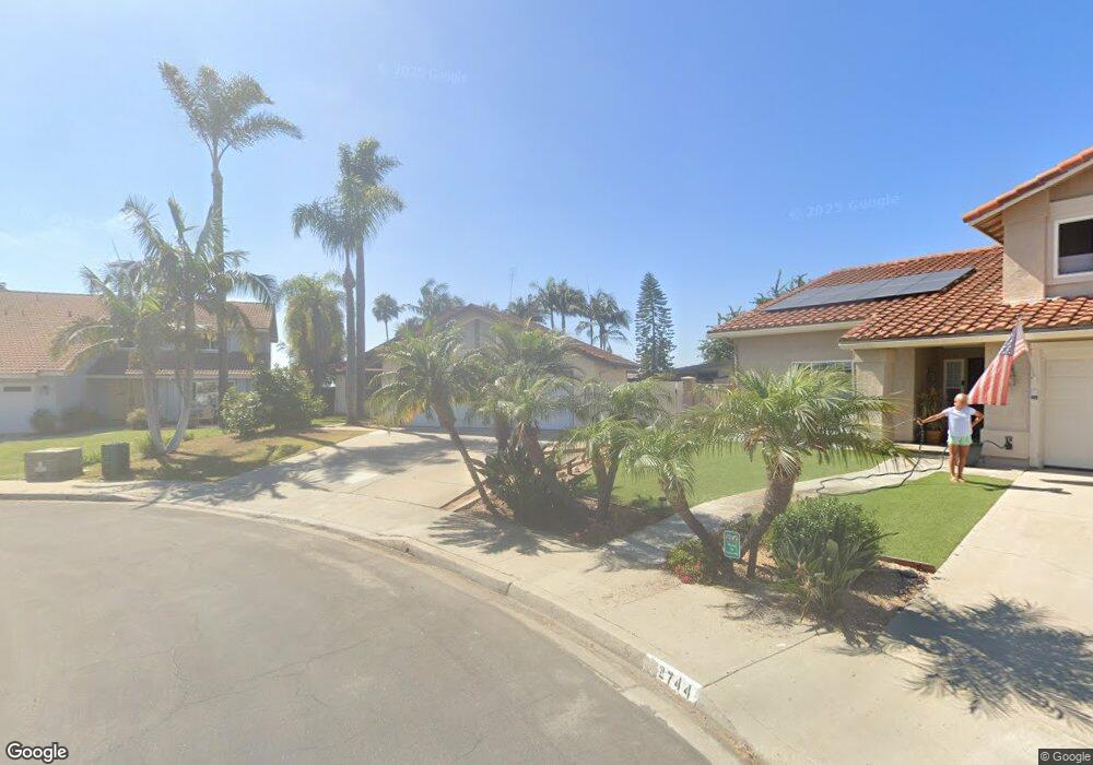
2742 Auburn Ave Carlsbad, CA 92010
Tamarack Point NeighborhoodEstimated Value: $1,351,657 - $1,491,000
4
Beds
2
Baths
1,862
Sq Ft
$767/Sq Ft
Est. Value
About This Home
This home is located at 2742 Auburn Ave, Carlsbad, CA 92010 and is currently estimated at $1,428,414, approximately $767 per square foot. 2742 Auburn Ave is a home located in San Diego County with nearby schools including Hope Elementary School, Calavera Hills Middle, and Carlsbad High School.
Ownership History
Date
Name
Owned For
Owner Type
Purchase Details
Closed on
Oct 8, 2018
Sold by
Kelso Richard Edward and Kelso Linda Sue
Bought by
Kelso Richard Edward and Kelso Linda Sue
Current Estimated Value
Purchase Details
Closed on
Mar 22, 1984
Bought by
Kelso Richard E Linda S
Create a Home Valuation Report for This Property
The Home Valuation Report is an in-depth analysis detailing your home's value as well as a comparison with similar homes in the area
Home Values in the Area
Average Home Value in this Area
Purchase History
| Date | Buyer | Sale Price | Title Company |
|---|---|---|---|
| Kelso Richard Edward | -- | None Available | |
| Kelso Richard E Linda S | $146,900 | -- |
Source: Public Records
Tax History Compared to Growth
Tax History
| Year | Tax Paid | Tax Assessment Tax Assessment Total Assessment is a certain percentage of the fair market value that is determined by local assessors to be the total taxable value of land and additions on the property. | Land | Improvement |
|---|---|---|---|---|
| 2025 | $1,516 | $312,027 | $104,666 | $207,361 |
| 2024 | $1,516 | $305,910 | $102,614 | $203,296 |
| 2023 | $1,565 | $299,912 | $100,602 | $199,310 |
| 2022 | $1,627 | $294,032 | $98,630 | $195,402 |
| 2021 | $1,610 | $288,268 | $96,697 | $191,571 |
| 2020 | $1,630 | $285,313 | $95,706 | $189,607 |
| 2019 | $1,612 | $279,720 | $93,830 | $185,890 |
| 2018 | $1,568 | $274,237 | $91,991 | $182,246 |
| 2017 | $1,555 | $268,861 | $90,188 | $178,673 |
| 2016 | $1,501 | $263,590 | $88,420 | $175,170 |
| 2015 | $1,487 | $259,631 | $87,092 | $172,539 |
| 2014 | $1,453 | $254,546 | $85,386 | $169,160 |
Source: Public Records
Map
Nearby Homes
- 3485 Corvallis St
- 2722 Olympia Dr
- 4350 Point Reyes Ct
- 2880 Englewood Way
- 3072 Marron Rd
- 3019 Glenbrook St
- 3304 Telaga Rd
- 4375 Stanford St
- 2935 Cliff Cir Unit 33
- 3626 Harwich Dr
- 4439 Salisbury Dr
- 4459 Dorchester Place
- 3442 Celinda Dr
- 2754 Inverness Dr
- 4583 Chancery Ct
- 4405 Sierra Morena Ave
- 2334 Kimberly Ct
- 2591 Regent Rd Unit 52
- 4590 Salem Place
- 2517 Via Astuto Unit 1
- 2740 Auburn Ave
- 2744 Auburn Ave
- 2751 Spokane Way
- 2755 Spokane Way
- 2759 Spokane Way
- 2747 Spokane Way
- 3601 Laredo St
- 3558 Pontiac Dr
- 2746 Auburn Ave
- 3560 Pontiac Dr
- 2763 Spokane Way
- 2743 Spokane Way
- 3602 Laredo St
- 3603 Laredo St
- 2748 Auburn Ave
- 3602 Pontiac Dr
- 2767 Spokane Way
- 3604 Laredo St
- 3499 Corvallis St
- 3605 Laredo St