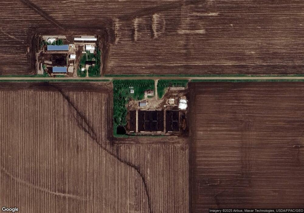
2743 190th St Rock Rapids, IA 51246
Estimated Value: $403,000 - $629,000
--
Bed
1
Bath
2,578
Sq Ft
$200/Sq Ft
Est. Value
About This Home
This home is located at 2743 190th St, Rock Rapids, IA 51246 and is currently estimated at $514,484, approximately $199 per square foot. 2743 190th St is a home located in Lyon County with nearby schools including West Lyon Elementary School, West Lyon Junior High School, and West Lyon High School.
Ownership History
Date
Name
Owned For
Owner Type
Purchase Details
Closed on
May 25, 2021
Sold by
Kuenzi and Chalsea
Bought by
Postma Glenn
Current Estimated Value
Purchase Details
Closed on
Mar 14, 2014
Sold by
Lupkes Lester L
Bought by
Kuenzi Tristan and Kuenzi Chalsca
Purchase Details
Closed on
Jan 18, 2013
Sold by
Lupkes Lester L and Lupkes Crystal E
Bought by
Lupkes Lester L
Home Financials for this Owner
Home Financials are based on the most recent Mortgage that was taken out on this home.
Original Mortgage
$109,515
Interest Rate
3.34%
Mortgage Type
New Conventional
Create a Home Valuation Report for This Property
The Home Valuation Report is an in-depth analysis detailing your home's value as well as a comparison with similar homes in the area
Home Values in the Area
Average Home Value in this Area
Purchase History
| Date | Buyer | Sale Price | Title Company |
|---|---|---|---|
| Postma Glenn | $410,000 | None Listed On Document | |
| Kuenzi Tristan | $166,375 | None Available | |
| Lupkes Lester L | -- | Title Source |
Source: Public Records
Mortgage History
| Date | Status | Borrower | Loan Amount |
|---|---|---|---|
| Previous Owner | Lupkes Lester L | $109,515 |
Source: Public Records
Tax History Compared to Growth
Tax History
| Year | Tax Paid | Tax Assessment Tax Assessment Total Assessment is a certain percentage of the fair market value that is determined by local assessors to be the total taxable value of land and additions on the property. | Land | Improvement |
|---|---|---|---|---|
| 2025 | $3,410 | $392,680 | $13,080 | $379,600 |
| 2024 | $3,410 | $314,320 | $10,870 | $303,450 |
| 2023 | $3,236 | $314,320 | $10,870 | $303,450 |
| 2022 | $2,852 | $236,310 | $7,970 | $228,340 |
| 2021 | $2,852 | $280,180 | $77,130 | $203,050 |
| 2020 | $2,862 | $259,340 | $77,130 | $182,210 |
| 2019 | $2,120 | $189,922 | $0 | $0 |
| 2018 | $2,076 | $189,922 | $0 | $0 |
| 2017 | $2,076 | $158,681 | $0 | $0 |
| 2016 | $1,746 | $158,431 | $0 | $0 |
| 2015 | $1,746 | $112,890 | $0 | $0 |
| 2014 | $411 | $112,890 | $0 | $0 |
Source: Public Records
Map
Nearby Homes
- 1964 Fir Ave
- 701 4th St
- 704 4th St
- 803 S Fifth St
- 106 S 15th Ave Unit 1
- 204 S 15th Ave
- 1104 S 6th Ave
- 1004 S 6th Ave
- 104 Cedar Ln
- 1102 S 6th Ave
- 1006 S 6th Ave
- 1002 S 6th Ave
- 703 S Adams St
- 1100 S 6th Ave
- 407 S Union St
- 1006 S Marshall St
- 703 S Greene St
- 707 S Greene St
- 610 S Carroll St
- 410 S Union St