2743 Cranberry Hwy Unit 17A Wareham, MA 02571
Estimated Value: $334,000 - $360,270
2
Beds
2
Baths
1,242
Sq Ft
$284/Sq Ft
Est. Value
About This Home
This home is located at 2743 Cranberry Hwy Unit 17A, Wareham, MA 02571 and is currently estimated at $352,318, approximately $283 per square foot. 2743 Cranberry Hwy Unit 17A is a home located in Plymouth County.
Ownership History
Date
Name
Owned For
Owner Type
Purchase Details
Closed on
Dec 9, 2022
Sold by
Horte Stacy J
Bought by
Horte Stacy J and Horte Robert F
Current Estimated Value
Purchase Details
Closed on
Feb 28, 2003
Sold by
Gray Charles B and Emmel Kathleen L
Bought by
Aleckna Stacey J
Home Financials for this Owner
Home Financials are based on the most recent Mortgage that was taken out on this home.
Original Mortgage
$145,500
Interest Rate
5.98%
Mortgage Type
Purchase Money Mortgage
Purchase Details
Closed on
Jun 21, 1999
Sold by
Stone Village Condo T and Mcgarry Patricia
Bought by
Jeter and Jeter Lemieda
Create a Home Valuation Report for This Property
The Home Valuation Report is an in-depth analysis detailing your home's value as well as a comparison with similar homes in the area
Home Values in the Area
Average Home Value in this Area
Purchase History
| Date | Buyer | Sale Price | Title Company |
|---|---|---|---|
| Horte Stacy J | -- | None Available | |
| Horte Stacy J | -- | None Available | |
| Aleckna Stacey J | $150,000 | -- | |
| Aleckna Stacey J | $150,000 | -- | |
| Jeter | $6,662 | -- | |
| Jeter Jterry E | $6,662 | -- |
Source: Public Records
Mortgage History
| Date | Status | Borrower | Loan Amount |
|---|---|---|---|
| Previous Owner | Jeter Jterry E | $229,496 | |
| Previous Owner | Jeter Jterry E | $145,500 |
Source: Public Records
Tax History Compared to Growth
Tax History
| Year | Tax Paid | Tax Assessment Tax Assessment Total Assessment is a certain percentage of the fair market value that is determined by local assessors to be the total taxable value of land and additions on the property. | Land | Improvement |
|---|---|---|---|---|
| 2025 | $3,175 | $304,700 | $0 | $304,700 |
| 2024 | $3,097 | $275,800 | $0 | $275,800 |
| 2023 | $2,764 | $238,500 | $0 | $238,500 |
| 2022 | $2,764 | $209,700 | $0 | $209,700 |
| 2021 | $2,608 | $193,900 | $0 | $193,900 |
| 2020 | $2,496 | $188,200 | $0 | $188,200 |
| 2019 | $2,273 | $171,000 | $0 | $171,000 |
| 2018 | $2,190 | $160,700 | $0 | $160,700 |
| 2017 | $1,980 | $147,200 | $0 | $147,200 |
| 2016 | $1,859 | $137,400 | $0 | $137,400 |
| 2015 | $2,011 | $153,900 | $0 | $153,900 |
| 2014 | $1,892 | $147,200 | $0 | $147,200 |
Source: Public Records
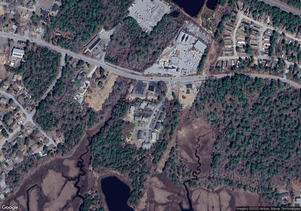
Map
Nearby Homes
- 2731 Cranberry Hwy
- 156 Sandwich Rd
- 6 Gilbert Way
- 24 Kimberly Ct
- 12 Linwood Ave
- 2795 Cranberry Hwy
- 35 Willard St
- 13 Cherry St
- 2838 Cranberry Hwy
- 6 Back St
- 124 Minot Ave Unit 1
- 10 Oak St
- 7 Knowles Ave
- 9 Old Glen Charlie Rd
- 1 Chapel Ln
- 2 Depot St Unit 5
- 7 Cranberry Ln
- 91 Agawam Lake Shore Dr
- 45 Main St Unit 38
- 25 Lakeview Dr
- 2743 Cranberry Hwy Unit C16
- 2743 Cranberry Hwy Unit 17C
- 2743 Cranberry Hwy Unit 17B
- 2743 Cranberry Hwy Unit 16C
- 2743 Cranberry Hwy Unit 16B
- 2743 Cranberry Hwy Unit 16A
- 2743 Cranberry Hwy Unit 15D
- 2743 Cranberry Hwy Unit 15C
- 2743 Cranberry Hwy Unit 15B
- 2743 Cranberry Hwy Unit 15A
- 2743 Cranberry Hwy Unit 14C
- 2743 Cranberry Hwy Unit 14B
- 2743 Cranberry Hwy Unit 14A
- 2743 Cranberry Hwy Unit 13C
- 2743 Cranberry Hwy Unit 13B
- 2743 Cranberry Hwy Unit 13A
- 2743 Cranberry Hwy Unit 5D
- 2743 Cranberry Hwy Unit 5C
- 2743 Cranberry Hwy Unit 5B
- 2743 Cranberry Hwy Unit 5A