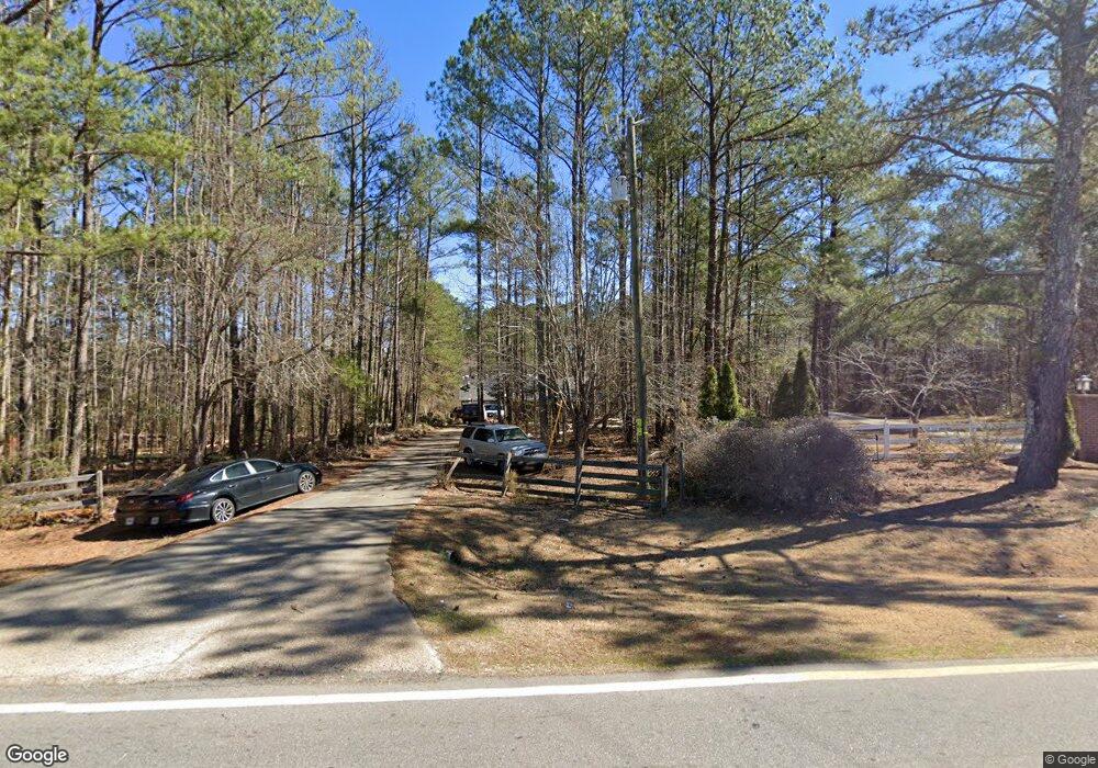
275 Campbell Rd Covington, GA 30014
Estimated Value: $353,068 - $429,000
--
Bed
2
Baths
1,972
Sq Ft
$195/Sq Ft
Est. Value
About This Home
This home is located at 275 Campbell Rd, Covington, GA 30014 and is currently estimated at $384,017, approximately $194 per square foot. 275 Campbell Rd is a home located in Newton County with nearby schools including Rocky Plains Elementary School, Indian Creek Middle School, and Alcovy High School.
Ownership History
Date
Name
Owned For
Owner Type
Purchase Details
Closed on
Sep 27, 2002
Sold by
Robertson Homer R
Bought by
Lajaunie Lawrence A
Current Estimated Value
Home Financials for this Owner
Home Financials are based on the most recent Mortgage that was taken out on this home.
Original Mortgage
$166,250
Outstanding Balance
$70,259
Interest Rate
6.27%
Mortgage Type
New Conventional
Estimated Equity
$313,758
Create a Home Valuation Report for This Property
The Home Valuation Report is an in-depth analysis detailing your home's value as well as a comparison with similar homes in the area
Home Values in the Area
Average Home Value in this Area
Purchase History
| Date | Buyer | Sale Price | Title Company |
|---|---|---|---|
| Lajaunie Lawrence A | $175,000 | -- |
Source: Public Records
Mortgage History
| Date | Status | Borrower | Loan Amount |
|---|---|---|---|
| Open | Lajaunie Lawrence A | $166,250 |
Source: Public Records
Tax History Compared to Growth
Tax History
| Year | Tax Paid | Tax Assessment Tax Assessment Total Assessment is a certain percentage of the fair market value that is determined by local assessors to be the total taxable value of land and additions on the property. | Land | Improvement |
|---|---|---|---|---|
| 2024 | $3,723 | $146,960 | $21,560 | $125,400 |
| 2023 | $3,716 | $136,960 | $21,560 | $115,400 |
| 2022 | $2,756 | $101,560 | $21,560 | $80,000 |
| 2021 | $2,289 | $75,480 | $14,360 | $61,120 |
| 2020 | $1,687 | $50,200 | $5,160 | $45,040 |
| 2019 | $1,809 | $53,040 | $5,160 | $47,880 |
| 2018 | $1,751 | $51,000 | $5,160 | $45,840 |
| 2017 | $1,430 | $41,640 | $5,160 | $36,480 |
| 2016 | $1,518 | $44,200 | $5,160 | $39,040 |
| 2015 | $1,421 | $41,400 | $5,200 | $36,200 |
| 2014 | $1,448 | $42,320 | $0 | $0 |
Source: Public Records
Map
Nearby Homes
- 45 Kendall Ln
- 15 Savoy Park Dr
- 40 Eryn Terrace
- 10 Argyll Way
- 125 Kendall Ln
- 215 Eryn Terrace
- 15 Campbelton Trace
- 105 Eryn Terrace
- 75 Heatherstone Way
- 200 Highway 212
- 125 Yancey Rd
- 97 Malcom Rd
- 0 Highway 212 Unit Parcel 5
- 0 Highway 212 Unit 10632274
- 0 Highway 212 Unit Parcel 4
- 0 Highway 212 Unit 10632256
- 0 Highway 212 Unit 10632307
- 0 Highway 212 Unit 10632248
- 0 Highway 212 Unit 10632368
- 0 Highway 212 Unit Parcel 7
- 75 Brynlyn Way
- 245 Campbell Rd
- 65 Brynlyn Way
- 55 Brynlyn Way
- 10 Loudoun Dr
- 60 Brynlyn Way
- 304 Campbell Rd
- 284 Campbell Rd
- 0 Loudoun Dr Unit LOT 26 2569447
- 0 Loudoun Dr
- 0 Loudoun Dr Unit 7211127
- 0 Loudoun Dr Unit 3153519
- 0 Loudoun Dr Unit 7111400
- 0 Loudoun Dr Unit 7073965
- 0 Loudoun Dr Unit 7048953
- 0 Loudoun Dr Unit 9068268
- 0 Loudoun Dr Unit 8078564
- 0 Loudoun Dr Unit 8320943
- 0 Loudoun Dr Unit 8454440
- 0 Loudoun Dr Unit 7458472
