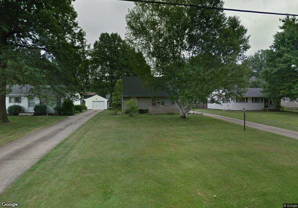
275 Dehoff Dr Youngstown, OH 44515
Austintown NeighborhoodEstimated Value: $170,000 - $204,000
3
Beds
1
Bath
1,371
Sq Ft
$133/Sq Ft
Est. Value
About This Home
This home is located at 275 Dehoff Dr, Youngstown, OH 44515 and is currently estimated at $182,619, approximately $133 per square foot. 275 Dehoff Dr is a home located in Mahoning County with nearby schools including Austintown Elementary School, Austintown Intermediate School, and Austintown Middle School.
Ownership History
Date
Name
Owned For
Owner Type
Purchase Details
Closed on
May 3, 2023
Bought by
Suzanne Williams
Current Estimated Value
Purchase Details
Closed on
Sep 15, 2017
Sold by
Krispinsky Anthony Randall
Bought by
Williams Suzanne
Purchase Details
Closed on
Sep 5, 2017
Sold by
Krispinsky Helen D
Bought by
Krispinsky Anthony Randall
Purchase Details
Closed on
Jul 22, 2009
Sold by
Krispinsky Anthony and Krispinsky Helen D
Bought by
Krispinsky Helen D
Create a Home Valuation Report for This Property
The Home Valuation Report is an in-depth analysis detailing your home's value as well as a comparison with similar homes in the area
Home Values in the Area
Average Home Value in this Area
Purchase History
| Date | Buyer | Sale Price | Title Company |
|---|---|---|---|
| Suzanne Williams | -- | -- | |
| Williams Suzanne | -- | -- | |
| Williams Suzanne | -- | -- | |
| Williams Suzanne | -- | None Available | |
| Krispinsky Anthony Randall | -- | None Available | |
| Krispinsky Helen D | -- | Attorney |
Source: Public Records
Tax History
| Year | Tax Paid | Tax Assessment Tax Assessment Total Assessment is a certain percentage of the fair market value that is determined by local assessors to be the total taxable value of land and additions on the property. | Land | Improvement |
|---|---|---|---|---|
| 2025 | $2,293 | $46,760 | $6,840 | $39,920 |
| 2024 | $2,191 | $46,760 | $6,840 | $39,920 |
| 2023 | $2,107 | $46,760 | $6,840 | $39,920 |
| 2022 | $1,704 | $30,310 | $6,030 | $24,280 |
| 2021 | $1,705 | $30,310 | $6,030 | $24,280 |
| 2020 | $1,712 | $30,310 | $6,030 | $24,280 |
| 2019 | $1,621 | $26,130 | $5,200 | $20,930 |
| 2018 | $1,040 | $26,130 | $5,200 | $20,930 |
| 2017 | $1,037 | $26,130 | $5,200 | $20,930 |
| 2016 | $1,097 | $26,960 | $5,200 | $21,760 |
| 2015 | $1,063 | $26,960 | $5,200 | $21,760 |
| 2014 | $1,068 | $26,960 | $5,200 | $21,760 |
| 2013 | $1,057 | $26,960 | $5,200 | $21,760 |
Source: Public Records
Map
Nearby Homes
- 285 Aldrich Rd
- 238 Aldrich Rd
- 158 Dehoff Dr
- 5109 W Elmwood Ave
- 325 S Inglewood Ave
- 148 Marcia Dr
- 5365 Oakcrest Ave
- 5604 Colgate Ave
- 3794-3796 Mahoning Ave
- 5630 Stanford Ave
- 5560 Madrid Dr
- 5640 Baylor Ave
- 5664 Colgate Ave
- 1707 Westhampton Dr
- 5633 London Dr
- 5451 Virginia Dr
- 4829 New Rd
- 111 Ohltown Rd
- 0 Norquest Blvd Unit 5175953
- 0 Norquest Blvd Unit 5175593
Your Personal Tour Guide
Ask me questions while you tour the home.