Estimated Value: $282,001 - $325,000
2
Beds
2
Baths
1,480
Sq Ft
$205/Sq Ft
Est. Value
About This Home
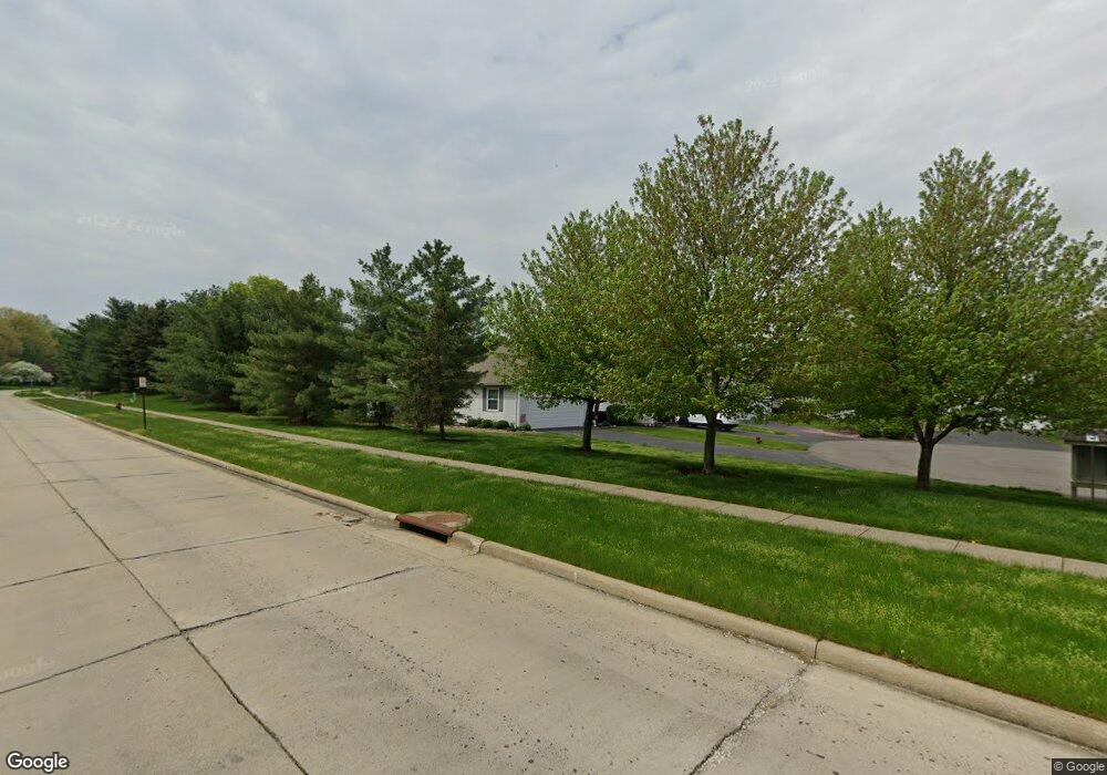
This home is located at 2753 York Dr Unit 34, Stow, OH 44224 and is currently estimated at $303,750, approximately $205 per square foot. 2753 York Dr Unit 34 is a home located in Summit County with nearby schools including Stow-Munroe Falls High School and Walsh Jesuit High School.
Ownership History
Date
Name
Owned For
Owner Type
Purchase Details
Closed on
Mar 29, 2019
Sold by
Simmons Muirlyn D
Bought by
Hurd Stacey and The Simmons Family Irrevocable Trust
Current Estimated Value
Purchase Details
Closed on
Jan 29, 2010
Sold by
Hill Richard A and Hill Nancy T
Bought by
Simmons Muirlyn D
Purchase Details
Closed on
Apr 24, 2003
Sold by
Mccarthy Jean C and Mccarthy Carin J
Bought by
Hill Richard A and Hill Nancy T
Purchase Details
Closed on
Oct 4, 2002
Sold by
Mccarthy Jean C
Bought by
Billington Carin J and Mccarthy Bruce Alan
Purchase Details
Closed on
Jan 21, 1997
Sold by
Properties Dev Ltd
Bought by
Mccarthy Jean C
Home Financials for this Owner
Home Financials are based on the most recent Mortgage that was taken out on this home.
Original Mortgage
$100,000
Interest Rate
6.88%
Mortgage Type
New Conventional
Create a Home Valuation Report for This Property
The Home Valuation Report is an in-depth analysis detailing your home's value as well as a comparison with similar homes in the area
Home Values in the Area
Average Home Value in this Area
Purchase History
| Date | Buyer | Sale Price | Title Company |
|---|---|---|---|
| Hurd Stacey | -- | None Available | |
| Simmons Muirlyn D | $171,000 | Village Title | |
| Hill Richard A | $164,200 | Akron Title | |
| Billington Carin J | -- | -- | |
| Mccarthy Jean C | $146,704 | -- |
Source: Public Records
Mortgage History
| Date | Status | Borrower | Loan Amount |
|---|---|---|---|
| Previous Owner | Mccarthy Jean C | $100,000 |
Source: Public Records
Tax History Compared to Growth
Tax History
| Year | Tax Paid | Tax Assessment Tax Assessment Total Assessment is a certain percentage of the fair market value that is determined by local assessors to be the total taxable value of land and additions on the property. | Land | Improvement |
|---|---|---|---|---|
| 2025 | $4,159 | $82,744 | $8,299 | $74,445 |
| 2024 | $4,159 | $82,744 | $8,299 | $74,445 |
| 2023 | $4,159 | $82,744 | $8,299 | $74,445 |
| 2022 | $3,589 | $64,726 | $6,486 | $58,240 |
| 2021 | $3,215 | $64,726 | $6,486 | $58,240 |
| 2020 | $3,160 | $64,730 | $6,490 | $58,240 |
| 2019 | $3,015 | $58,640 | $6,420 | $52,220 |
| 2018 | $2,965 | $58,630 | $6,410 | $52,220 |
| 2017 | $3,048 | $58,630 | $6,410 | $52,220 |
| 2016 | $3,137 | $58,630 | $6,410 | $52,220 |
| 2015 | $3,048 | $58,630 | $6,410 | $52,220 |
| 2014 | $3,051 | $58,630 | $6,410 | $52,220 |
| 2013 | $2,901 | $56,440 | $6,410 | $50,030 |
Source: Public Records
Map
Nearby Homes
- 2991 Heatherwood Ct Unit 30B
- 4035 Villas Dr
- 3896 Lake Run Blvd
- 3511 Whit Ave
- 4227 Maribend Dr
- 4233 Smokerise Dr
- 2973 Mourning Dove Cir
- 4227 Baird Rd
- 2908 Wexford Blvd
- 2410 Liberty Rd
- 2714 Wexford Blvd
- 3383 Suffolk Downs
- 4048 Burton Dr
- 978 Silver Meadows Blvd
- 3127 Deercrest Path
- 4131 Burton Dr
- 600 Silver Meadows Blvd
- 2194 Santom Rd E
- 3642 Northport Dr
- 1265 W Main St
- 2755 York Dr
- 2743 York Dr
- 2741 York Dr Unit 36
- 3702 Buckworth Ct Unit 32
- 3705 Buckworth Ct
- 3705 Buckworth Ct Unit 30
- 3700 Buckworth Ct Unit 31
- 2727 York Dr
- 0 Lake Run Blvd
- 2725 York Dr Unit 38
- 3707 Buckworth Ct
- 3707 Buckworth Ct Unit 29
- 3709 Buckworth Ct Unit 28
- 2714 York Dr
- 2712 York Dr Unit 44
- 3717 Buckworth Ct
- 3717 Buckworth Ct Unit 27
- 2715 York Dr Unit 39
- 3719 Buckworth Ct
- 3720 Buckworth Ct Unit 19
