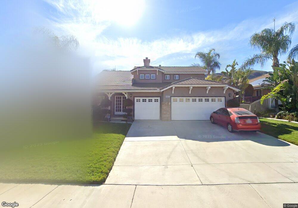
27539 Silver Cloud Ct Corona, CA 92883
Horsethief Canyon Ranch NeighborhoodEstimated Value: $726,000 - $775,383
5
Beds
3
Baths
2,496
Sq Ft
$301/Sq Ft
Est. Value
About This Home
This home is located at 27539 Silver Cloud Ct, Corona, CA 92883 and is currently estimated at $751,096, approximately $300 per square foot. 27539 Silver Cloud Ct is a home located in Riverside County with nearby schools including Luiseno School and Temescal Canyon High School.
Ownership History
Date
Name
Owned For
Owner Type
Purchase Details
Closed on
Feb 6, 2004
Sold by
Acosta Rodriguez Carmen
Bought by
Carlstrom Howard and Carlstrom Diana
Current Estimated Value
Home Financials for this Owner
Home Financials are based on the most recent Mortgage that was taken out on this home.
Original Mortgage
$352,000
Interest Rate
5.25%
Mortgage Type
Purchase Money Mortgage
Purchase Details
Closed on
Nov 27, 2001
Sold by
William Lyon Homes Inc
Bought by
Acosta Rodriguez Carmen
Home Financials for this Owner
Home Financials are based on the most recent Mortgage that was taken out on this home.
Original Mortgage
$210,000
Interest Rate
6.99%
Mortgage Type
Purchase Money Mortgage
Create a Home Valuation Report for This Property
The Home Valuation Report is an in-depth analysis detailing your home's value as well as a comparison with similar homes in the area
Home Values in the Area
Average Home Value in this Area
Purchase History
| Date | Buyer | Sale Price | Title Company |
|---|---|---|---|
| Carlstrom Howard | $440,000 | Fidelity National Title Co | |
| Acosta Rodriguez Carmen | $238,000 | Chicago Title Co |
Source: Public Records
Mortgage History
| Date | Status | Borrower | Loan Amount |
|---|---|---|---|
| Previous Owner | Carlstrom Howard | $352,000 | |
| Previous Owner | Acosta Rodriguez Carmen | $210,000 | |
| Closed | Carlstrom Howard | $44,000 |
Source: Public Records
Tax History
| Year | Tax Paid | Tax Assessment Tax Assessment Total Assessment is a certain percentage of the fair market value that is determined by local assessors to be the total taxable value of land and additions on the property. | Land | Improvement |
|---|---|---|---|---|
| 2025 | $6,743 | $667,378 | $99,509 | $567,869 |
| 2023 | $6,743 | $641,465 | $95,646 | $545,819 |
| 2022 | $6,489 | $628,888 | $93,771 | $535,117 |
| 2021 | $5,566 | $539,885 | $80,383 | $459,502 |
| 2020 | $5,429 | $482,040 | $71,770 | $410,270 |
| 2019 | $5,166 | $468,000 | $69,680 | $398,320 |
| 2018 | $5,064 | $450,000 | $67,000 | $383,000 |
| 2017 | $4,817 | $426,000 | $64,000 | $362,000 |
Source: Public Records
Map
Nearby Homes
- 27678 Trailhead Ct
- 27407 Santa fe Ct
- 27364 Pacos Ridge
- 27432 Cobble Dr
- 13416 Silver Stirrup Dr
- 13333 Goldenhorn Dr
- 27069 Dawnview Ct
- 27051 Featherhill Dr
- 27551 Eastwind Dr
- 26927 Eagle Run St
- 26741 Hostettler Rd
- 13373 Crystal Springs Dr
- 26819 Eagle Run St
- 27199 Echo Canyon Ct
- 26911 Lightfoot Dr
- 13390 Cloudburst Dr
- 27258 Denali Ct
- 27234 Denali Ct
- 27186 Denali Ct
- 27174 Denali Ct
- 27579 Silver Cloud Ct
- 27519 Silver Cloud Ct
- 13830 Desert Ridge
- 13815 Buckskin Trail Dr
- 27562 Silver Cloud Ct
- 13820 Desert Ridge
- 27542 Silver Cloud Ct
- 27582 Silver Cloud Ct
- 27522 Silver Cloud Ct
- 13805 Buckskin Trail Dr
- 27619 Silver Cloud Ct
- 27582 Hopi Springs Ct
- 27602 Silver Cloud Ct
- 13828 Buckskin Trail Dr
- 13810 Desert Ridge
- 27618 Trailhead Ct
- 13845 Buckskin Trail Dr
- 27622 Silver Cloud Ct
- 13795 Buckskin Trail Dr
- 27580 Coyote Mesa Dr
Your Personal Tour Guide
Ask me questions while you tour the home.