27552 Westpoint Rd Easton, MD 21601
Estimated Value: $1,271,117 - $1,404,000
--
Bed
3
Baths
3,764
Sq Ft
$352/Sq Ft
Est. Value
About This Home
This home is located at 27552 Westpoint Rd, Easton, MD 21601 and is currently estimated at $1,325,279, approximately $352 per square foot. 27552 Westpoint Rd is a home located in Talbot County with nearby schools including White Marsh Elementary School, Easton Middle School, and Easton High School.
Ownership History
Date
Name
Owned For
Owner Type
Purchase Details
Closed on
May 19, 2003
Sold by
Potter Edward A and Potter Marcia B
Bought by
Serino John W
Current Estimated Value
Purchase Details
Closed on
Jul 24, 1987
Sold by
Craig Frederick L and Craig Joan E
Bought by
Potter Edward A and Potter Marcia B
Home Financials for this Owner
Home Financials are based on the most recent Mortgage that was taken out on this home.
Original Mortgage
$60,000
Interest Rate
10.23%
Create a Home Valuation Report for This Property
The Home Valuation Report is an in-depth analysis detailing your home's value as well as a comparison with similar homes in the area
Home Values in the Area
Average Home Value in this Area
Purchase History
| Date | Buyer | Sale Price | Title Company |
|---|---|---|---|
| Serino John W | $675,000 | -- | |
| Potter Edward A | $98,500 | -- |
Source: Public Records
Mortgage History
| Date | Status | Borrower | Loan Amount |
|---|---|---|---|
| Previous Owner | Potter Edward A | $60,000 |
Source: Public Records
Tax History Compared to Growth
Tax History
| Year | Tax Paid | Tax Assessment Tax Assessment Total Assessment is a certain percentage of the fair market value that is determined by local assessors to be the total taxable value of land and additions on the property. | Land | Improvement |
|---|---|---|---|---|
| 2025 | $3,771 | $683,933 | $0 | $0 |
| 2024 | $3,771 | $649,067 | $0 | $0 |
| 2023 | $3,520 | $614,200 | $276,000 | $338,200 |
| 2022 | $3,310 | $604,500 | $0 | $0 |
| 2021 | $1,713 | $594,800 | $0 | $0 |
| 2020 | $3,119 | $585,100 | $265,000 | $320,100 |
| 2019 | $3,114 | $581,133 | $0 | $0 |
| 2018 | $3,016 | $577,167 | $0 | $0 |
| 2017 | $2,877 | $573,200 | $0 | $0 |
| 2016 | $2,724 | $573,200 | $0 | $0 |
| 2015 | $2,500 | $573,200 | $0 | $0 |
| 2014 | $2,500 | $577,100 | $0 | $0 |
Source: Public Records
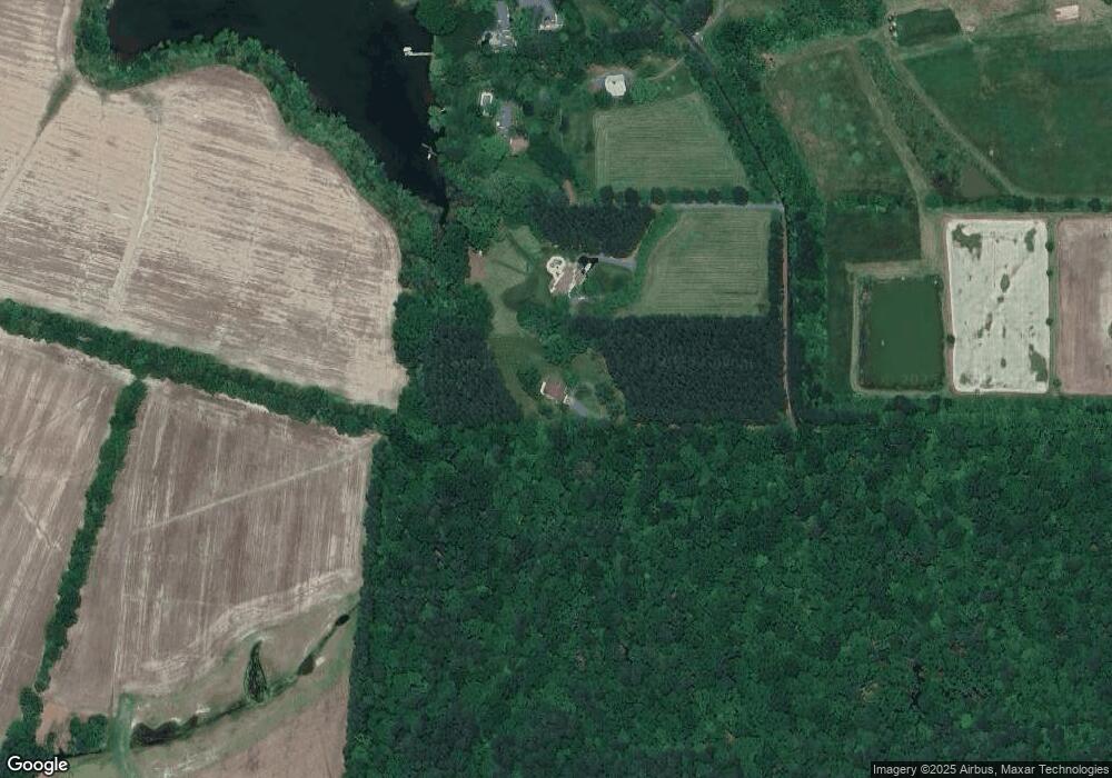
Map
Nearby Homes
- 6680 Peachblossom Point Rd
- 0 Enniskillen Rd Unit MDTA2011052
- 6976 Cookes Hope Rd Unit 29
- 6976 Cookes Hope Rd
- 6010 Shipyard Ln
- 6119 Country Club Dr
- 26657 N Point Rd
- 6150 Oxford Rd
- 28538 Edgemere Rd
- 28028 Playtor Rd
- 28630 Edgemere Rd
- 6780 Cookes Hope Rd
- 28701 Edgemere Rd
- 28613 Lois Ln
- 28824 Jennings Rd
- 28667 Hope Cir
- 28838 Jennings Rd
- 28850 Jennings Rd
- 0 Hope Cir
- 5369 Morgans Point Dr
- 27545 Westpoint Rd
- 27536 Westpoint Rd
- 27505 Westpoint Rd
- 27497 Westpoint Rd
- 27510 Westpoint Rd
- 27525 Westpoint Rd
- 27479 Westpoint Rd
- 27490 Westpoint Rd
- 27473 Westpoint Rd
- 6606 Peach Blossom Point
- 27478 Westpoint Rd
- 6620 Peach Blossom Point
- 27461 Westpoint Rd
- 6648 Peach Blossom Point
- 6480 Locust Grove Rd
- 27409 Baileys Neck Rd
- 27485 Baileys Neck Rd
- 27460 Westpoint Rd
- 27457 Westpoint Rd
- 6550 Locust Grove Rd