27553 E Mockingbird Dr Unit 53 Flat Rock, MI 48134
Estimated Value: $368,541 - $419,000
4
Beds
3
Baths
2,180
Sq Ft
$180/Sq Ft
Est. Value
About This Home
This home is located at 27553 E Mockingbird Dr Unit 53, Flat Rock, MI 48134 and is currently estimated at $392,885, approximately $180 per square foot. 27553 E Mockingbird Dr Unit 53 is a home located in Wayne County with nearby schools including Huron High School.
Ownership History
Date
Name
Owned For
Owner Type
Purchase Details
Closed on
Jun 16, 2004
Sold by
Pulte Land Co Llc
Bought by
Holsomback William S
Current Estimated Value
Create a Home Valuation Report for This Property
The Home Valuation Report is an in-depth analysis detailing your home's value as well as a comparison with similar homes in the area
Home Values in the Area
Average Home Value in this Area
Purchase History
| Date | Buyer | Sale Price | Title Company |
|---|---|---|---|
| Holsomback William S | $71,000 | Metropolitan Title Company |
Source: Public Records
Tax History
| Year | Tax Paid | Tax Assessment Tax Assessment Total Assessment is a certain percentage of the fair market value that is determined by local assessors to be the total taxable value of land and additions on the property. | Land | Improvement |
|---|---|---|---|---|
| 2025 | $2,484 | $170,000 | $0 | $0 |
| 2024 | $2,484 | $159,300 | $0 | $0 |
| 2023 | $2,369 | $137,900 | $0 | $0 |
| 2022 | $4,143 | $137,500 | $0 | $0 |
| 2021 | $4,015 | $126,200 | $0 | $0 |
| 2020 | $3,963 | $121,800 | $0 | $0 |
| 2019 | $3,784 | $117,100 | $0 | $0 |
| 2018 | $3,755 | $111,400 | $0 | $0 |
| 2017 | $3,173 | $106,400 | $0 | $0 |
| 2016 | $3,603 | $106,400 | $0 | $0 |
| 2015 | $8,971 | $96,700 | $0 | $0 |
| 2013 | $7,780 | $77,800 | $0 | $0 |
| 2012 | -- | $76,300 | $21,800 | $54,500 |
Source: Public Records
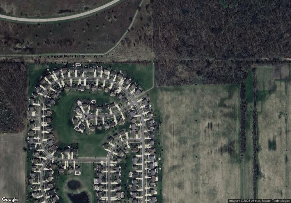
Map
Nearby Homes
- 28786 Glenwood
- 29403 Wedgewood
- 1989 Will Carleton Rd
- 28289 Spruce
- 28796 Liparoto Blvd
- 0 Brandes Rd Unit 20250012383
- 25409 Willowbrook Ct Unit 5
- 25430 Bohn Ct Unit 23
- 27145 James Ave
- 4064 Will Carleton Rd
- 26980 James Ave
- Vacant Lot John L St
- 24161 Senate Dr
- 3371 Summer St
- 13629 Heritage St
- 26721 W Huron River Dr
- 13550 Heritage St
- 13499 Heritage St
- 31610 Beaver Cir
- 31614 Beaver Cir
- 27567 E Mockingbird Dr Unit Bldg-Unit
- 27567 E Mockingbird Dr Unit 54
- 27581 E Mockingbird Dr Unit 55
- 27570 E Mockingbird Dr Unit 156
- 27584 E Mockingbird Dr Unit 157
- 27595 E Mockingbird Dr
- 27538 N Mockingbird Dr Unit 52
- 27598 E Mockingbird Dr Unit 158
- 27609 E Mockingbird Dr Unit 57
- 27537 N Mockingbird Dr Unit 142
- 27524 N Mockingbird Dr Unit 51
- 27623 E Mockingbird Dr Unit 58
- 27523 N Mockingbird Dr Unit Bldg-Unit
- 27523 N Mockingbird Dr Unit 141
- 27549 Cardinal Ct Unit 155
- 27510 N Mockingbird Dr Unit 50
- 27550 Cardinal Ct Unit 143
- 27556 Oriole Ct
- 27620 Oriole Ct Unit 160
- 27495 N Mockingbird Dr Unit 140
Your Personal Tour Guide
Ask me questions while you tour the home.