27582 Us Highway 169 Nowata, OK 74048
Estimated Value: $548,000 - $654,000
2
Beds
2
Baths
2,340
Sq Ft
$261/Sq Ft
Est. Value
About This Home
This home is located at 27582 Us Highway 169, Nowata, OK 74048 and is currently estimated at $610,086, approximately $260 per square foot. 27582 Us Highway 169 is a home located in Nowata County with nearby schools including Nowata Elementary School, Nowata Middle School, and Nowata High School.
Ownership History
Date
Name
Owned For
Owner Type
Purchase Details
Closed on
Aug 28, 2024
Sold by
Tanner Christopher Samuel and Tanner Sammie Renee
Bought by
May Dennis H and May Robin L
Current Estimated Value
Purchase Details
Closed on
Oct 15, 2015
Sold by
Richey Walter and Richey Pamela
Bought by
Cox Rory Lynn and Cox Melissa
Create a Home Valuation Report for This Property
The Home Valuation Report is an in-depth analysis detailing your home's value as well as a comparison with similar homes in the area
Home Values in the Area
Average Home Value in this Area
Purchase History
| Date | Buyer | Sale Price | Title Company |
|---|---|---|---|
| May Dennis H | $590,000 | None Listed On Document | |
| Cox Rory Lynn | $295,000 | -- |
Source: Public Records
Tax History Compared to Growth
Tax History
| Year | Tax Paid | Tax Assessment Tax Assessment Total Assessment is a certain percentage of the fair market value that is determined by local assessors to be the total taxable value of land and additions on the property. | Land | Improvement |
|---|---|---|---|---|
| 2024 | $2,820 | $28,571 | $1,641 | $26,930 |
| 2023 | $2,820 | $27,739 | $1,619 | $26,120 |
| 2022 | $1,560 | $16,499 | $2,579 | $13,920 |
| 2021 | $1,564 | $16,499 | $2,579 | $13,920 |
| 2020 | $1,555 | $16,092 | $2,539 | $13,553 |
| 2019 | $1,523 | $15,623 | $2,493 | $13,130 |
| 2018 | $1,360 | $15,168 | $2,249 | $12,919 |
| 2017 | $1,325 | $14,727 | $2,236 | $12,491 |
| 2016 | $1,291 | $14,298 | $1,346 | $12,952 |
| 2015 | $1,304 | $14,131 | $1,346 | $12,785 |
| 2014 | $1,288 | $14,131 | $1,346 | $12,785 |
Source: Public Records
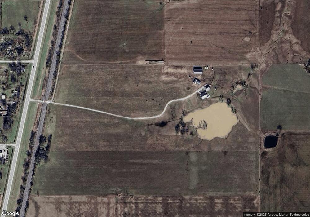
Map
Nearby Homes
- 27582 Us Highway 169
- 0 E 028 Rd Unit 19-2213
- 0 E 028 Rd Unit 34188
- 0 E 028 Rd Unit 1936770
- 102 4th St
- 105 4th St
- 111 3rd St
- 204 Ns 4125 Rd
- 410 Ns 4125 Rd
- 209 N 4125 Rd
- 62 Rural Route 2 Rd
- 12689 Ew 28 Rd
- 12689 Ew 28 Rd
- 12689 Ew 28 Rd
- 12689 Ew 28 Rd
- 117 Rr 2
- 207 2nd St
- 207 2nd St
- 111 Rr 2
- 111 Nowata Rt 2