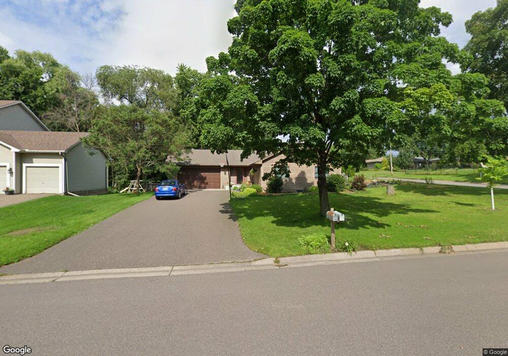
2759 Virginia Ave Saint Paul, MN 55113
South Owasso NeighborhoodEstimated Value: $419,000 - $453,000
4
Beds
3
Baths
2,704
Sq Ft
$164/Sq Ft
Est. Value
About This Home
This home is located at 2759 Virginia Ave, Saint Paul, MN 55113 and is currently estimated at $443,127, approximately $163 per square foot. 2759 Virginia Ave is a home located in Ramsey County with nearby schools including Central Park Elementary School, Roseville Area Middle School, and Roseville Area Senior High School.
Ownership History
Date
Name
Owned For
Owner Type
Purchase Details
Closed on
Nov 12, 2020
Sold by
Smith David Thomas and Smith Cindy Bentley
Bought by
Bosu Kerry and Bosu Anthony Kudjo
Current Estimated Value
Home Financials for this Owner
Home Financials are based on the most recent Mortgage that was taken out on this home.
Original Mortgage
$324,000
Interest Rate
2.8%
Mortgage Type
New Conventional
Create a Home Valuation Report for This Property
The Home Valuation Report is an in-depth analysis detailing your home's value as well as a comparison with similar homes in the area
Home Values in the Area
Average Home Value in this Area
Purchase History
| Date | Buyer | Sale Price | Title Company |
|---|---|---|---|
| Bosu Kerry | $360,000 | Land Title Inc | |
| Bosu Kerry Kerry | $360,000 | -- |
Source: Public Records
Mortgage History
| Date | Status | Borrower | Loan Amount |
|---|---|---|---|
| Previous Owner | Bosu Kerry | $324,000 | |
| Closed | Bosu Kerry Kerry | $324,000 |
Source: Public Records
Tax History Compared to Growth
Tax History
| Year | Tax Paid | Tax Assessment Tax Assessment Total Assessment is a certain percentage of the fair market value that is determined by local assessors to be the total taxable value of land and additions on the property. | Land | Improvement |
|---|---|---|---|---|
| 2025 | $5,840 | $434,600 | $100,000 | $334,600 |
| 2023 | $5,840 | $412,900 | $90,000 | $322,900 |
| 2022 | $5,328 | $390,200 | $90,000 | $300,200 |
| 2021 | $4,578 | $356,100 | $90,000 | $266,100 |
| 2020 | $4,902 | $329,300 | $80,000 | $249,300 |
| 2019 | $4,778 | $329,900 | $80,000 | $249,900 |
| 2018 | $4,426 | $314,100 | $82,900 | $231,200 |
| 2017 | $4,122 | $285,800 | $82,900 | $202,900 |
| 2016 | $4,364 | $0 | $0 | $0 |
| 2015 | $4,098 | $293,900 | $86,300 | $207,600 |
| 2014 | $3,932 | $0 | $0 | $0 |
Source: Public Records
Map
Nearby Homes
- 387 Iona Ln
- 405 Judith Ave
- 2814 Matilda St
- 2687 Galtier St
- 350 County Road C W
- 2720 MacKubin St
- 437 County Road C W
- 2802 Marion St
- 2580 Western Ave N
- 255 County Road C2 W
- 540 Woodhill Dr Unit 71
- 2748 Kent St
- 2970 Western Ave N
- 556 County Road C W
- 2730 Dale St N Unit D101
- 2730 Dale St N Unit D309
- 2710 Dale St N Unit B212
- 2720 Dale St N Unit C208
- 405 Brooks Ave W
- 613 S Owasso Blvd W
- 2751 Virginia Ave
- 2758 Western Ave N
- 2771 Virginia Ave
- 2748 Western Ave N
- 2748 Western Ave N Unit Lower Unit
- 2758 Virginia Ave
- 2772 Western Ave N
- 2750 Virginia Ave
- 2779 Virginia Ave
- 2772 Virginia Ave
- 2744 Virginia Ave
- 2780 Western Ave N
- 2736 Virginia Ave
- 386 Iona Ln
- 2757 Farrington St
- 2787 Virginia Ave
- 2751 Farrington St
- 2727 Virginia Ave
- 2788 Western Ave N
- 2771 Farrington St