276 Rollins Rd Newbury, NH 03255
Estimated Value: $739,720 - $1,118,000
4
Beds
3
Baths
3,332
Sq Ft
$285/Sq Ft
Est. Value
About This Home
This home is located at 276 Rollins Rd, Newbury, NH 03255 and is currently estimated at $949,180, approximately $284 per square foot. 276 Rollins Rd is a home located in Merrimack County with nearby schools including Kearsarge Regional Elementary School at Bradford, Kearsarge Regional Middle School, and Kearsarge Regional High School.
Ownership History
Date
Name
Owned For
Owner Type
Purchase Details
Closed on
Jul 31, 2007
Sold by
276 Rollins Road Rt
Bought by
Morena Alfred P and Morena Marijoan
Current Estimated Value
Create a Home Valuation Report for This Property
The Home Valuation Report is an in-depth analysis detailing your home's value as well as a comparison with similar homes in the area
Home Values in the Area
Average Home Value in this Area
Purchase History
| Date | Buyer | Sale Price | Title Company |
|---|---|---|---|
| Morena Alfred P | $542,000 | -- |
Source: Public Records
Tax History Compared to Growth
Tax History
| Year | Tax Paid | Tax Assessment Tax Assessment Total Assessment is a certain percentage of the fair market value that is determined by local assessors to be the total taxable value of land and additions on the property. | Land | Improvement |
|---|---|---|---|---|
| 2024 | $8,561 | $656,000 | $187,500 | $468,500 |
| 2023 | $8,561 | $656,000 | $187,500 | $468,500 |
| 2022 | $7,465 | $656,000 | $187,500 | $468,500 |
| 2021 | $7,465 | $656,000 | $187,500 | $468,500 |
| 2020 | $8,073 | $488,700 | $154,200 | $334,500 |
| 2019 | $7,761 | $488,700 | $154,200 | $334,500 |
| 2018 | $7,575 | $488,700 | $154,200 | $334,500 |
| 2017 | $7,677 | $488,700 | $154,200 | $334,500 |
| 2016 | $7,844 | $488,700 | $154,200 | $334,500 |
| 2015 | $6,932 | $425,800 | $154,200 | $271,600 |
| 2014 | $6,596 | $425,800 | $154,200 | $271,600 |
| 2013 | $6,357 | $425,800 | $154,200 | $271,600 |
Source: Public Records
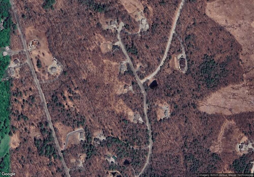
Map
Nearby Homes
- 25 Hilltop Dr
- Lower Crest Rd
- 81 Gerald Dr
- 36 Shore Dr
- 344 Chalk Pond Rd
- 0 Lakewood Manor Rd Unit 467
- 91 Chalk Pond Rd
- 81 Lakewood Manor Rd
- 0 Crest Dr Unit 4996159
- 20 Edgemont Landing Rd
- 21 Hospitality Way
- 8 Snow Rd
- 213 Bay Point Rd
- 61 Brookside Rd
- 00 Brookside Rd Unit 530-317&525-332
- 1386 Route 103
- 1387 Route 103
- 263 Old Post Rd
- 240 Bay Point Rd
- 318 Old Post Rd
- 290 Rollins Rd
- 285 Rollins Rd
- 260 Rollins Rd
- 300 Rollins Rd
- 269 Rollins Rd
- 21 High Meadow Rd
- 306 Rollins Rd
- 174 Rollins Rd
- 305 Rollins Rd
- 234 Rollins Rd
- Lot 13 High Meadow Rd
- 184 Rollins Rd
- 152 Rollins Rd
- 0 Rollins Rd
- 224 Rollins Rd
- 142 Rollins Rd
- 198 Rollins Rd
- 41 High Point Rd
- 115 Rollins Rd
- 49 High Point Rd