276 Wauquanesit Dr Unit G-15 Brewster, MA 02631
Estimated Value: $1,344,000 - $1,510,000
3
Beds
4
Baths
2,000
Sq Ft
$729/Sq Ft
Est. Value
About This Home
This home is located at 276 Wauquanesit Dr Unit G-15, Brewster, MA 02631 and is currently estimated at $1,457,882, approximately $728 per square foot. 276 Wauquanesit Dr Unit G-15 is a home located in Barnstable County with nearby schools including Stony Brook Elementary School, Eddy Elementary School, and Nauset Regional Middle School.
Ownership History
Date
Name
Owned For
Owner Type
Purchase Details
Closed on
Dec 6, 2019
Sold by
Leaman George F
Bought by
Devito Charles A and Devito Margery A
Current Estimated Value
Purchase Details
Closed on
Jul 20, 2016
Sold by
Leaman John C
Bought by
Leaman George F
Purchase Details
Closed on
Aug 31, 2011
Sold by
Elizabeth P Leaman Ret and Leaman Elizabeth P
Bought by
Qpr Elizabeth P Leaman and Leaman Elizabeth P
Purchase Details
Closed on
Feb 10, 2010
Sold by
Mccollum Nt and Thornton Michael Scott
Bought by
Leaman Elizabeth P and Leaman John C
Create a Home Valuation Report for This Property
The Home Valuation Report is an in-depth analysis detailing your home's value as well as a comparison with similar homes in the area
Home Values in the Area
Average Home Value in this Area
Purchase History
| Date | Buyer | Sale Price | Title Company |
|---|---|---|---|
| Devito Charles A | $825,000 | None Available | |
| Leaman George F | $300,000 | -- | |
| Leaman George F | -- | -- | |
| Elizabeth P Leaman Ret | -- | -- | |
| Qpr Elizabeth P Leaman | -- | -- | |
| Leaman Elizabeth P | $815,000 | -- |
Source: Public Records
Tax History Compared to Growth
Tax History
| Year | Tax Paid | Tax Assessment Tax Assessment Total Assessment is a certain percentage of the fair market value that is determined by local assessors to be the total taxable value of land and additions on the property. | Land | Improvement |
|---|---|---|---|---|
| 2025 | $8,763 | $1,273,700 | $0 | $1,273,700 |
| 2024 | $8,189 | $1,202,500 | $0 | $1,202,500 |
| 2023 | $7,595 | $1,086,500 | $0 | $1,086,500 |
| 2022 | $6,847 | $872,200 | $0 | $872,200 |
| 2021 | $6,813 | $794,100 | $0 | $794,100 |
| 2020 | $6,799 | $788,700 | $0 | $788,700 |
| 2019 | $6,928 | $807,500 | $0 | $807,500 |
| 2018 | $6,356 | $769,500 | $0 | $769,500 |
| 2017 | $6,100 | $727,100 | $0 | $727,100 |
| 2016 | $6,212 | $736,900 | $0 | $736,900 |
| 2015 | $5,939 | $719,000 | $0 | $719,000 |
Source: Public Records
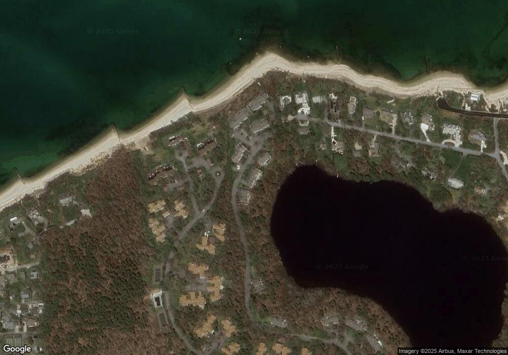
Map
Nearby Homes
- 18 Juniper Cir
- 11 Juniper Cir
- 35 Bradford Rd
- 1861 Main St
- 232 Robbins Hill Rd
- 240 Robbins Hill Rd
- 167 Ambergris Cir
- 1580 Main St
- 20 Skipjack Way
- 1424 Main St
- 20 Spring Ln
- 41 Great Oak Rd
- 53 Brier Ln
- 21 Sea Meadow Ln
- 429 Paines Creek Rd
- 85 Yankee Dr
- 602 Tubman Rd
- 104 Sachemus Trail Unit 104
- 42 Landing Ln Unit 42
- 284 Wauquanesit Dr
- 280 Wauquanesit Dr
- 276 Wauquanesit Dr
- 284 Wauquanesit Dr Unit G-17
- 296 Wauquanesit Dr
- 292 Wauquanesit Dr
- 296 Wauquanesit Dr Unit H-19
- 264 Wauquanesit Dr
- 258 Wauquanesit Dr
- 258 Wauquanesit Dr Unit F13
- 291 Wauquanesit Dr
- 287 Wauquanesit Dr
- 283 Wauquanesit Dr
- 287 Wauquanesit Dr Unit L-31
- 291 Wauquanesit Dr Unit L-32
- 283 Wauquanesit Dr Unit l-30
- 309 Wauquanesit Dr
- 307 Wauquanesit Dr
- 305 Wauquanesit Dr
- 305 Wauquanesit Dr Unit I20