2767 State Route 82 Aurora, OH 44202
Estimated Value: $345,054 - $676,000
3
Beds
2
Baths
1,764
Sq Ft
$261/Sq Ft
Est. Value
About This Home
This home is located at 2767 State Route 82, Aurora, OH 44202 and is currently estimated at $460,514, approximately $261 per square foot. 2767 State Route 82 is a home located in Portage County with nearby schools including Crestwood Primary School, Crestwood Intermediate School, and Crestwood Middle School.
Ownership History
Date
Name
Owned For
Owner Type
Purchase Details
Closed on
Jan 29, 2007
Sold by
Wojahn Carol A
Bought by
Herrle Thomas and Herrle Susan
Current Estimated Value
Create a Home Valuation Report for This Property
The Home Valuation Report is an in-depth analysis detailing your home's value as well as a comparison with similar homes in the area
Home Values in the Area
Average Home Value in this Area
Purchase History
| Date | Buyer | Sale Price | Title Company |
|---|---|---|---|
| Herrle Thomas | $50,000 | Approved Statewide Title |
Source: Public Records
Tax History Compared to Growth
Tax History
| Year | Tax Paid | Tax Assessment Tax Assessment Total Assessment is a certain percentage of the fair market value that is determined by local assessors to be the total taxable value of land and additions on the property. | Land | Improvement |
|---|---|---|---|---|
| 2024 | $4,260 | $118,100 | $23,630 | $94,470 |
| 2023 | $3,482 | $89,390 | $21,910 | $67,480 |
| 2022 | $3,538 | $89,390 | $21,910 | $67,480 |
| 2021 | $3,567 | $89,390 | $21,910 | $67,480 |
| 2020 | $3,222 | $77,560 | $20,860 | $56,700 |
| 2019 | $3,179 | $77,560 | $20,860 | $56,700 |
| 2017 | $3,046 | $72,810 | $20,060 | $52,750 |
| 2016 | $3,010 | $72,810 | $20,060 | $52,750 |
Source: Public Records
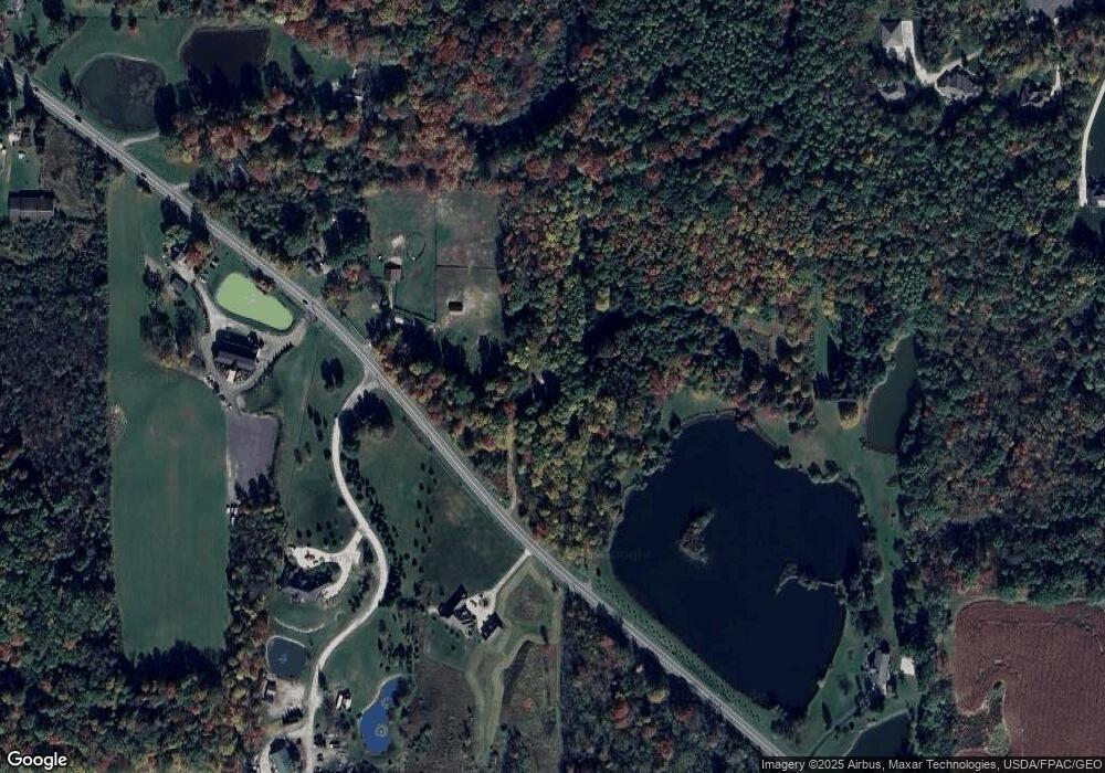
Map
Nearby Homes
- 200 Greentree Cir
- 290 Townline Rd
- 12298 Chamberlain Rd
- 483 Townline Rd
- 11166 Loris Ave
- 679 Deep Woods Dr
- 1130 Winchell Rd
- 651 Parker Rd
- 3444 Winchell Rd
- 12845 Vincent Dr
- 990 Whisperwood Ln
- 314 E Pioneer Trail
- V/L Ohio 82
- 635 Prestige Woods Blvd
- 369 Fox Run Trail
- 12167 Mantua Center Rd
- 159 Royal Oak Dr
- 831 Meadowbrook Dr
- 179 Fox Run Trail
- 109 S Chillicothe Rd
- 2756 State Route 82
- 2748 State Route 82
- 2729 State Route 82
- 2695 State Route 82
- 2651 State Route 82
- 2661 State Route 82
- 2666 State Route 82
- 2894 Huntington Way
- 2900 Huntington Way
- 34 Townline Rd
- 64 Townline Rd
- 2630 State Route 82
- 56 Townline Rd
- 14 Huntington Way
- 14 15 Huntington Way
- 15 Huntington Way
- 16 Townline Rd
- tbd Huntington
- 26 Townline Rd
- 1282 E Garfield Rd