27705 Blixit Creek Potomac, MT 59823
Estimated Value: $637,000 - $931,000
3
Beds
3
Baths
2,968
Sq Ft
$276/Sq Ft
Est. Value
About This Home
This home is located at 27705 Blixit Creek, Potomac, MT 59823 and is currently estimated at $819,141, approximately $275 per square foot. 27705 Blixit Creek is a home located in Missoula County with nearby schools including Potomac Elementary School, Potomac Junior High School, and Hellgate High School.
Ownership History
Date
Name
Owned For
Owner Type
Purchase Details
Closed on
Aug 11, 2017
Sold by
Wolfe Timothy A and Wolfe Linda G
Bought by
Jm Johnson Properties Llc
Current Estimated Value
Home Financials for this Owner
Home Financials are based on the most recent Mortgage that was taken out on this home.
Original Mortgage
$200,000
Outstanding Balance
$166,523
Interest Rate
3.88%
Mortgage Type
New Conventional
Estimated Equity
$652,618
Create a Home Valuation Report for This Property
The Home Valuation Report is an in-depth analysis detailing your home's value as well as a comparison with similar homes in the area
Home Values in the Area
Average Home Value in this Area
Purchase History
| Date | Buyer | Sale Price | Title Company |
|---|---|---|---|
| Jm Johnson Properties Llc | -- | None Available |
Source: Public Records
Mortgage History
| Date | Status | Borrower | Loan Amount |
|---|---|---|---|
| Open | Jm Johnson Properties Llc | $200,000 |
Source: Public Records
Tax History Compared to Growth
Tax History
| Year | Tax Paid | Tax Assessment Tax Assessment Total Assessment is a certain percentage of the fair market value that is determined by local assessors to be the total taxable value of land and additions on the property. | Land | Improvement |
|---|---|---|---|---|
| 2025 | $4,694 | $764,588 | $185,908 | $578,680 |
| 2024 | $5,244 | $635,700 | $168,295 | $467,405 |
| 2023 | $4,605 | $635,700 | $168,295 | $467,405 |
| 2022 | $3,417 | $392,500 | $0 | $0 |
| 2021 | $3,189 | $392,500 | $0 | $0 |
| 2020 | $3,304 | $386,500 | $0 | $0 |
| 2019 | $3,323 | $386,500 | $0 | $0 |
| 2018 | $2,876 | $328,930 | $0 | $0 |
| 2017 | $2,330 | $304,718 | $0 | $0 |
| 2016 | $2,512 | $303,628 | $0 | $0 |
| 2015 | $2,427 | $303,628 | $0 | $0 |
| 2014 | $2,511 | $176,340 | $0 | $0 |
Source: Public Records
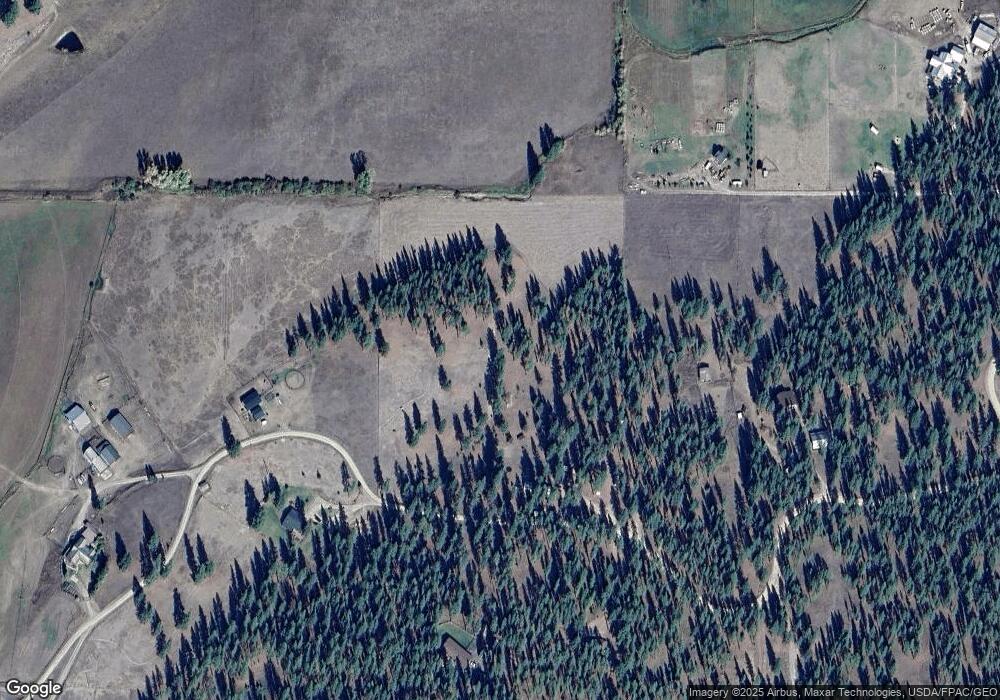
Map
Nearby Homes
- 27597 Blixit Creek Rd
- 1200 Shaw Ln
- 124 Morrison Ln
- 29100 Camp Run Rd
- 110 and 160 Waylon Way
- 1701 Bear Creek Rd
- 1034 Sandy Hill Dr
- 24003 Sidehill Ln
- 1825 Copper Cliff Dr
- Nhn W Ashby Creek Rd
- 1120 Hole in The Wall Rd
- 35322 Washoe Rd
- 4580 Whitewater Park
- 4570 White Water Park
- 6300 Camas Creek Rd
- NHN Camas Springs Rd
- Nhn Camus Springs Rd
- 18350 Violet Ln
- 25575 Patter Spur Rd S
- 20622 Us Highway 10 E
- 27705 Blixit Creek Rd
- 27705 Blixit Creek Rd
- 27705 Blixit Creek Rd
- 22705- 1&2 Blixit Creek
- 27955 Blixit Creek Rd
- 141 Redtail Rd
- 175 Redtail Rd
- 27430 Blixit Creek Rd
- 28020 Blixit Creek Rd
- Nhn Redtail Rd
- 27350 Blixit Creek Rd
- 28049 Wishard View
- 27415 Blixit Creek Rd
- 150 Redtail Rd
- 27300 Rimfire Rd
- 130 Redtail Rd
- 28161 Wishard View
- 240 Redtail Rd
- 320 Redtail Rd
- 337 Redtail Rd