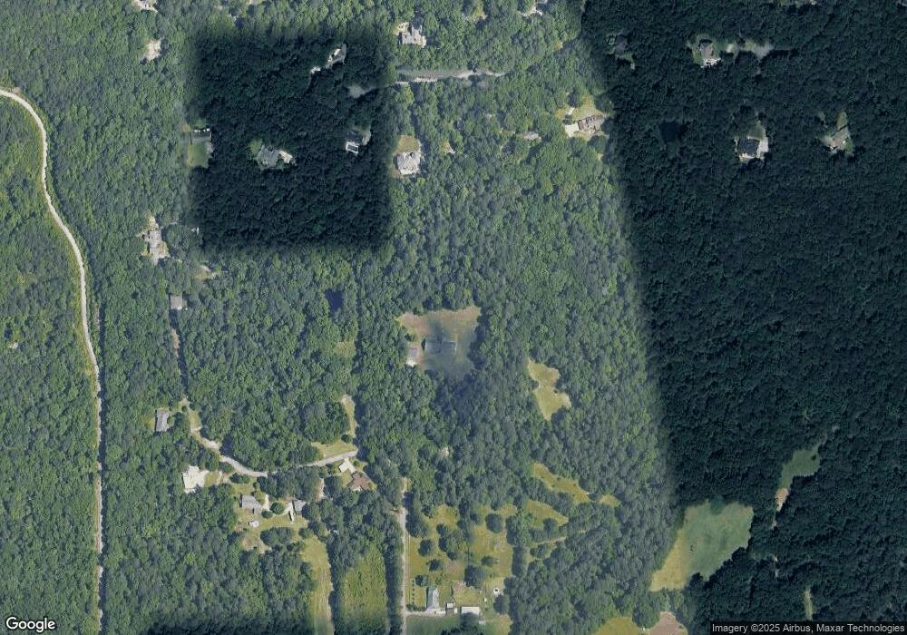
2772 Samsum Rd SW Stockbridge, GA 30281
Estimated Value: $491,000 - $895,000
3
Beds
3
Baths
5,424
Sq Ft
$132/Sq Ft
Est. Value
About This Home
This home is located at 2772 Samsum Rd SW, Stockbridge, GA 30281 and is currently estimated at $717,343, approximately $132 per square foot. 2772 Samsum Rd SW is a home located in Rockdale County with nearby schools including Lorraine Elementary School, Gen. Ray Davis Middle School, and Heritage High School.
Ownership History
Date
Name
Owned For
Owner Type
Purchase Details
Closed on
Nov 17, 2005
Sold by
Daniel Betty L
Bought by
Rhodes Tana S
Current Estimated Value
Purchase Details
Closed on
Dec 6, 2001
Sold by
Kincaid Clarence J
Bought by
Rhodes Peter D and Rhodes Tana S
Home Financials for this Owner
Home Financials are based on the most recent Mortgage that was taken out on this home.
Original Mortgage
$56,250
Interest Rate
6.53%
Mortgage Type
New Conventional
Create a Home Valuation Report for This Property
The Home Valuation Report is an in-depth analysis detailing your home's value as well as a comparison with similar homes in the area
Home Values in the Area
Average Home Value in this Area
Purchase History
| Date | Buyer | Sale Price | Title Company |
|---|---|---|---|
| Rhodes Tana S | $85,000 | -- | |
| Rhodes Peter D | $75,000 | -- |
Source: Public Records
Mortgage History
| Date | Status | Borrower | Loan Amount |
|---|---|---|---|
| Previous Owner | Rhodes Peter D | $56,250 |
Source: Public Records
Tax History Compared to Growth
Tax History
| Year | Tax Paid | Tax Assessment Tax Assessment Total Assessment is a certain percentage of the fair market value that is determined by local assessors to be the total taxable value of land and additions on the property. | Land | Improvement |
|---|---|---|---|---|
| 2024 | $6,364 | $276,480 | $74,920 | $201,560 |
| 2023 | $5,030 | $235,120 | $74,920 | $160,200 |
| 2022 | $5,710 | $225,760 | $74,920 | $150,840 |
| 2021 | $4,731 | $189,080 | $38,240 | $150,840 |
| 2020 | $4,350 | $167,120 | $38,240 | $128,880 |
| 2019 | $3,849 | $146,080 | $38,240 | $107,840 |
| 2018 | $3,264 | $129,800 | $25,480 | $104,320 |
| 2017 | $2,595 | $107,240 | $25,480 | $81,760 |
| 2016 | $2,239 | $101,400 | $25,480 | $75,920 |
| 2015 | $2,239 | $101,400 | $25,480 | $75,920 |
| 2014 | $1,710 | $93,240 | $17,320 | $75,920 |
| 2013 | -- | $111,720 | $21,680 | $90,040 |
Source: Public Records
Map
Nearby Homes
- 5155 E Fairview Rd SW
- 2513 Overlake Ln
- 5335 E Fairview Rd SW
- 1616 Palmilla Way SW
- 1800 Carribean Ct SW
- 6079 Highway 155 N
- 4925 Cook Rd SW
- 4708 Golod Way Unit 2
- 4889 Ozment Ridge Ct
- 3060 Union Church Rd SW
- 4767 Golod Way Unit 2
- 3669 E Fairview Rd SW
- 5100 River Overlook Way
- 231 Sorrow Rd
- 4934 Serena Ct
- 0 Flat Shoals Church Rd Unit 10642485
- 0 Flat Shoals Church Rd Unit 10642435
- 0 Flat Shoals Church Rd Unit 10642461
- 4842 Buchli Ln Unit 2
- 6733 Highway 155 N
- 2770 Samsum Rd SW
- 2776 Samsum Rd SW
- 2782 Samsum Rd SW
- 2764 Samsum Rd SW
- 2769 Samsum Rd SW
- 2620 Brushy Nob Ln
- 2719 Samsum Rd SW
- 2610 Brushy Nob Ln
- 2630 Brushy Nob Ln
- 0 Samsum Rd SW
- 2600 Brushy Nob Ln
- 2767 Samsum Rd SW
- 2640 Brushy Nob Ln Unit 1
- 2805 Samsum Rd SW
- 2806 Samsum Rd SW
- 2590 Brushy Nob Ln Unit 1
- 2765 Samsum Rd SW
- 2735 Samsum Rd SW
- 2701 Samsum Rd SW
- 2605 Brushy Nob Ln
