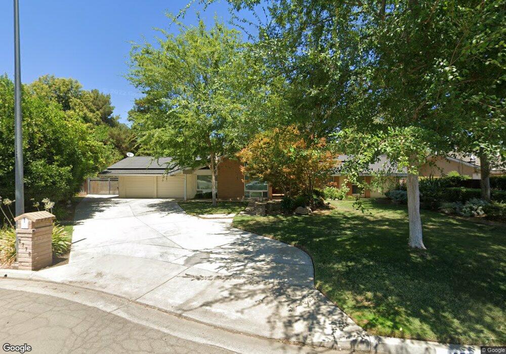
2778 W Palo Alto Ave Fresno, CA 93711
Van Ness Extension NeighborhoodEstimated Value: $548,634 - $733,000
3
Beds
2
Baths
2,436
Sq Ft
$257/Sq Ft
Est. Value
About This Home
This home is located at 2778 W Palo Alto Ave, Fresno, CA 93711 and is currently estimated at $625,909, approximately $256 per square foot. 2778 W Palo Alto Ave is a home located in Fresno County with nearby schools including H. Roger Tatarian Elementary School, Tenaya Middle School, and Bullard High School.
Ownership History
Date
Name
Owned For
Owner Type
Purchase Details
Closed on
Nov 3, 1997
Sold by
Cargill Leonard R and Cargill Sharon L
Bought by
Thornhill Edwin D
Current Estimated Value
Home Financials for this Owner
Home Financials are based on the most recent Mortgage that was taken out on this home.
Original Mortgage
$155,000
Outstanding Balance
$25,505
Interest Rate
7.31%
Estimated Equity
$600,404
Create a Home Valuation Report for This Property
The Home Valuation Report is an in-depth analysis detailing your home's value as well as a comparison with similar homes in the area
Home Values in the Area
Average Home Value in this Area
Purchase History
| Date | Buyer | Sale Price | Title Company |
|---|---|---|---|
| Thornhill Edwin D | $176,000 | First American Title Co |
Source: Public Records
Mortgage History
| Date | Status | Borrower | Loan Amount |
|---|---|---|---|
| Open | Thornhill Edwin D | $155,000 |
Source: Public Records
Tax History Compared to Growth
Tax History
| Year | Tax Paid | Tax Assessment Tax Assessment Total Assessment is a certain percentage of the fair market value that is determined by local assessors to be the total taxable value of land and additions on the property. | Land | Improvement |
|---|---|---|---|---|
| 2025 | $3,596 | $294,565 | $81,420 | $213,145 |
| 2023 | $3,525 | $283,128 | $78,259 | $204,869 |
| 2022 | $3,475 | $277,577 | $76,725 | $200,852 |
| 2021 | $3,378 | $272,135 | $75,221 | $196,914 |
| 2020 | $3,363 | $269,345 | $74,450 | $194,895 |
| 2019 | $3,232 | $264,065 | $72,991 | $191,074 |
| 2018 | $3,160 | $258,888 | $71,560 | $187,328 |
| 2017 | $3,104 | $253,812 | $70,157 | $183,655 |
| 2016 | $3,000 | $248,836 | $68,782 | $180,054 |
| 2015 | $2,953 | $245,099 | $67,749 | $177,350 |
| 2014 | $2,894 | $240,298 | $66,422 | $173,876 |
Source: Public Records
Map
Nearby Homes
- 2997 W Wellington Ln
- 2707 W Menlo Ave
- 2641 W Paul Ave
- 3048 W Pembrook Loop
- 3077 W Pembrook Loop
- 2827 W Compton Ct
- 3075 W Silverhill Ln
- 2571 W Magill Ave
- 6315 N Marks Ave
- 6779 N Woodson Ave
- 6467 N Hazel Ave
- 3279 W Magill Ave
- 6597 N Haslam Ave
- 6730 N Tamera Ave
- 2473 W Beechwood Ave
- 2805 W Spruce Ave
- 7037 N Creative Dr
- 7110 N Refinement Dr
- 7116 N Refinement Dr
- 6744 N Valentine Ave
- 2760 W Palo Alto Ave
- 2794 W Palo Alto Ave
- 6605 N Wembley Dr
- 6607 N Wembley Dr
- 6567 N Cheryl Ave
- 2763 W Palo Alto Ave
- 2748 W Palo Alto Ave
- 6606 N Wembley Dr
- 6625 N Wembley Dr
- 6608 N Wembley Dr
- 2751 W Palo Alto Ave
- 6551 N Cheryl Ave
- 6629 N Wembley Dr
- 6624 N Wembley Dr
- 6603 N Seedlescombe Dr
- 2995 W Wellington Ln
- 6613 N Seedlescombe Dr
- 2762 W Paul Ave
- 2728 W Palo Alto Ave
- 6632 N Wembley Dr