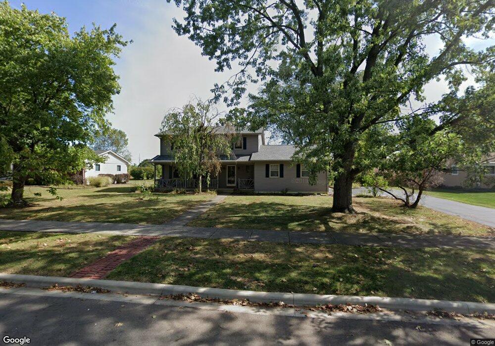
278 Apache Cir Westerville, OH 43081
Estimated Value: $425,139 - $460,000
4
Beds
3
Baths
2,022
Sq Ft
$220/Sq Ft
Est. Value
About This Home
This home is located at 278 Apache Cir, Westerville, OH 43081 and is currently estimated at $445,285, approximately $220 per square foot. 278 Apache Cir is a home located in Franklin County with nearby schools including Cherrington Elementary School, Blendon Middle School, and Westerville South High School.
Ownership History
Date
Name
Owned For
Owner Type
Purchase Details
Closed on
Apr 30, 2015
Sold by
Saunders Randall T and Yingling Karen R
Bought by
Saunders Yingling Family Trust
Current Estimated Value
Purchase Details
Closed on
May 15, 2001
Sold by
Fuller William V and Fuller Christina D
Bought by
Saunders Randall T and Vingling Karen R
Home Financials for this Owner
Home Financials are based on the most recent Mortgage that was taken out on this home.
Original Mortgage
$150,000
Outstanding Balance
$54,099
Interest Rate
7.23%
Estimated Equity
$391,186
Purchase Details
Closed on
Nov 5, 1996
Sold by
Fuller William
Bought by
Fuller William and Fuller Christina
Home Financials for this Owner
Home Financials are based on the most recent Mortgage that was taken out on this home.
Original Mortgage
$128,250
Interest Rate
8.23%
Mortgage Type
New Conventional
Create a Home Valuation Report for This Property
The Home Valuation Report is an in-depth analysis detailing your home's value as well as a comparison with similar homes in the area
Home Values in the Area
Average Home Value in this Area
Purchase History
| Date | Buyer | Sale Price | Title Company |
|---|---|---|---|
| Saunders Yingling Family Trust | -- | None Available | |
| Saunders Randall T | $188,700 | Service Title Agency | |
| Fuller William | $135,000 | -- |
Source: Public Records
Mortgage History
| Date | Status | Borrower | Loan Amount |
|---|---|---|---|
| Open | Saunders Randall T | $150,000 | |
| Closed | Fuller William | $128,250 |
Source: Public Records
Tax History
| Year | Tax Paid | Tax Assessment Tax Assessment Total Assessment is a certain percentage of the fair market value that is determined by local assessors to be the total taxable value of land and additions on the property. | Land | Improvement |
|---|---|---|---|---|
| 2025 | $7,189 | $126,500 | $36,160 | $90,340 |
| 2024 | $7,189 | $126,500 | $36,160 | $90,340 |
| 2023 | $7,037 | $126,490 | $36,155 | $90,335 |
| 2022 | $6,949 | $95,380 | $30,240 | $65,140 |
| 2021 | $7,007 | $95,380 | $30,240 | $65,140 |
| 2020 | $6,987 | $95,380 | $30,240 | $65,140 |
| 2019 | $5,908 | $76,130 | $30,240 | $45,890 |
| 2018 | $5,542 | $76,130 | $30,240 | $45,890 |
| 2017 | $5,637 | $76,130 | $30,240 | $45,890 |
| 2016 | $5,465 | $65,180 | $23,840 | $41,340 |
| 2015 | $5,293 | $65,180 | $23,840 | $41,340 |
| 2014 | $5,297 | $65,180 | $23,840 | $41,340 |
| 2013 | -- | $65,170 | $23,835 | $41,335 |
Source: Public Records
Map
Nearby Homes
- 215 Mainsail Dr
- 655 Mohican Way
- 487 Beachside Dr
- 687 E College Ave
- 291 Mohawk Ave
- 392 Hickory Ln
- 961 E College Ave
- 45 Kanpur Place
- 612 E Schrock Rd
- 629 Andrew Ave
- 636 E Schrock Rd
- 613 Deer Run Rd
- 138 Wood St
- 868 Liverpool Place
- 703 Pointview Dr
- 852 Karen Ct
- 133 Illinois Ave
- 559 Allview Ct
- 1114 Forest View Ct
- 270 Brisbane Ave
Your Personal Tour Guide
Ask me questions while you tour the home.