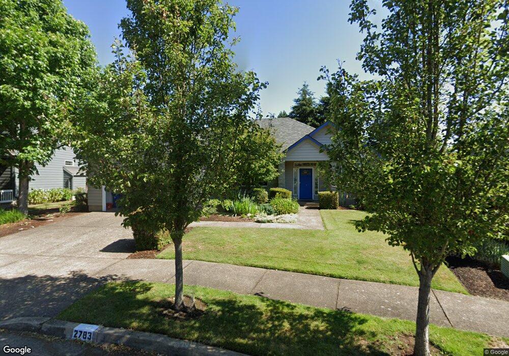
2783 Barbados Dr Eugene, OR 97408
Harlow NeighborhoodEstimated Value: $670,202 - $760,000
3
Beds
2
Baths
2,018
Sq Ft
$359/Sq Ft
Est. Value
About This Home
This home is located at 2783 Barbados Dr, Eugene, OR 97408 and is currently estimated at $725,051, approximately $359 per square foot. 2783 Barbados Dr is a home located in Lane County with nearby schools including Gilham Elementary School, Cal Young Middle School, and Sheldon High School.
Ownership History
Date
Name
Owned For
Owner Type
Purchase Details
Closed on
Dec 8, 2021
Sold by
Duffey John G
Bought by
Duffey John G and Duffey Family Living Trust
Current Estimated Value
Purchase Details
Closed on
May 12, 2016
Sold by
Landis Erik A and Landis Laura S
Bought by
Duffey John G and Duffey Mary R
Purchase Details
Closed on
Oct 21, 1997
Sold by
Doug Burris
Bought by
Landis Erik A and Landis Laura S
Home Financials for this Owner
Home Financials are based on the most recent Mortgage that was taken out on this home.
Original Mortgage
$180,000
Interest Rate
7.49%
Create a Home Valuation Report for This Property
The Home Valuation Report is an in-depth analysis detailing your home's value as well as a comparison with similar homes in the area
Home Values in the Area
Average Home Value in this Area
Purchase History
| Date | Buyer | Sale Price | Title Company |
|---|---|---|---|
| Duffey John G | -- | None Available | |
| Duffey John G | $408,000 | Western Title & Escrow Co | |
| Landis Erik A | $225,000 | Western Pioneer Title Co |
Source: Public Records
Mortgage History
| Date | Status | Borrower | Loan Amount |
|---|---|---|---|
| Previous Owner | Landis Erik A | $180,000 |
Source: Public Records
Tax History
| Year | Tax Paid | Tax Assessment Tax Assessment Total Assessment is a certain percentage of the fair market value that is determined by local assessors to be the total taxable value of land and additions on the property. | Land | Improvement |
|---|---|---|---|---|
| 2025 | $7,522 | $386,067 | -- | -- |
| 2024 | $7,428 | $374,823 | -- | -- |
| 2023 | $7,428 | $363,906 | $0 | $0 |
| 2022 | $6,959 | $353,307 | $0 | $0 |
| 2021 | $6,536 | $343,017 | $0 | $0 |
| 2020 | $6,475 | $333,027 | $0 | $0 |
| 2019 | $6,199 | $323,328 | $0 | $0 |
| 2018 | $5,809 | $304,768 | $0 | $0 |
| 2017 | $5,487 | $304,768 | $0 | $0 |
| 2016 | $5,229 | $295,891 | $0 | $0 |
| 2015 | $5,060 | $287,273 | $0 | $0 |
| 2014 | $4,950 | $278,906 | $0 | $0 |
Source: Public Records
Map
Nearby Homes
- 3425 Coburg Rd
- 2889 Kinney Loop
- 89805 Sprague Rd
- 2527 Park View Dr
- 2707 Dayna Ln
- 2461 Mountain Terrace
- 2776 Dayna Ln
- 1993 Best Ln
- 3950 Coburg Rd Unit 52
- 1794 Kings St N
- 2611 Erin Way
- 2915 Chuckanut St
- 2645 Chuckanut St
- 1564 Regency Dr
- 3090 Willakenzie Rd
- 2577 Elysium Ave
- 2774 Sarah Ln
- 2329 Willona Park
- 0 Sprig Ln Unit Lot 3
- 0 Sprig Ln Unit Lot 3 766109892
- 2779 Barbados Dr
- 2823 Martinique Ave
- 2795 Barbados Dr
- 2771 Barbados Dr
- 2780 Barbados Dr
- 2785 Martinique Ave
- 2827 Martinique Ave
- 2810 Martinique Ave
- 2820 Martinique Ave
- 2765 Barbados Dr
- 2788 Martinique Ave
- 2823 Barbados Dr
- 2831 Martinique Ave
- 2774 Martinique Ave
- 3394 Antigua Dr
- 2820 Barbados Dr
- 2757 Barbados Dr
- 2833 Barbados Dr
- 3393 St Kitts Ave
- 2835 Martinique Ave
Your Personal Tour Guide
Ask me questions while you tour the home.