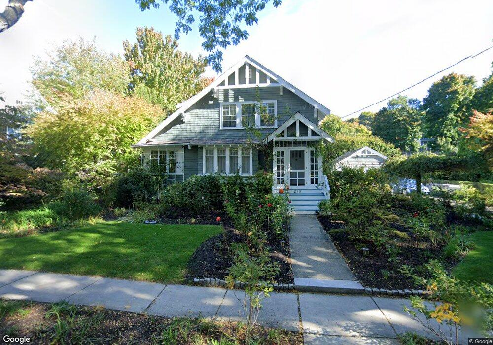
279 Clark Rd Brookline, MA 02445
Brookline Village NeighborhoodEstimated Value: $2,130,000 - $2,646,000
4
Beds
2
Baths
2,226
Sq Ft
$1,035/Sq Ft
Est. Value
About This Home
This home is located at 279 Clark Rd, Brookline, MA 02445 and is currently estimated at $2,303,185, approximately $1,034 per square foot. 279 Clark Rd is a home located in Norfolk County with nearby schools including John D. Runkle School, Torah Academy, and Maimonides School.
Ownership History
Date
Name
Owned For
Owner Type
Purchase Details
Closed on
Jun 1, 1989
Sold by
Adler Cecille
Bought by
Lamb John
Current Estimated Value
Home Financials for this Owner
Home Financials are based on the most recent Mortgage that was taken out on this home.
Original Mortgage
$85,000
Interest Rate
10.92%
Mortgage Type
Purchase Money Mortgage
Create a Home Valuation Report for This Property
The Home Valuation Report is an in-depth analysis detailing your home's value as well as a comparison with similar homes in the area
Home Values in the Area
Average Home Value in this Area
Purchase History
| Date | Buyer | Sale Price | Title Company |
|---|---|---|---|
| Lamb John | $345,000 | -- |
Source: Public Records
Mortgage History
| Date | Status | Borrower | Loan Amount |
|---|---|---|---|
| Open | Lamb John | $198,800 | |
| Closed | Lamb John | $128,500 | |
| Closed | Lamb John | $103,900 | |
| Closed | Lamb John | $85,000 |
Source: Public Records
Tax History Compared to Growth
Tax History
| Year | Tax Paid | Tax Assessment Tax Assessment Total Assessment is a certain percentage of the fair market value that is determined by local assessors to be the total taxable value of land and additions on the property. | Land | Improvement |
|---|---|---|---|---|
| 2025 | $20,095 | $2,036,000 | $1,314,000 | $722,000 |
| 2024 | $19,133 | $1,958,300 | $1,263,400 | $694,900 |
| 2023 | $15,676 | $1,572,300 | $902,600 | $669,700 |
| 2022 | $15,260 | $1,497,500 | $859,700 | $637,800 |
| 2021 | $14,110 | $1,439,800 | $826,600 | $613,200 |
| 2020 | $12,811 | $1,355,700 | $751,400 | $604,300 |
| 2019 | $12,098 | $1,291,100 | $715,600 | $575,500 |
| 2018 | $11,407 | $1,205,800 | $681,600 | $524,200 |
| 2017 | $11,239 | $1,137,600 | $643,000 | $494,600 |
| 2016 | $11,079 | $1,063,200 | $600,900 | $462,300 |
| 2015 | $10,613 | $993,700 | $561,700 | $432,000 |
| 2014 | $10,797 | $947,900 | $516,500 | $431,400 |
Source: Public Records
Map
Nearby Homes
- 94 Beaconsfield Rd Unit 201
- 255 Tappan St
- 184 Rawson Rd
- 333 Clark Rd
- 324 Tappan St Unit 1
- 324 Tappan St Unit 2
- 135 Beaconsfield Rd Unit 1
- 141 Beaconsfield Rd Unit 6
- 1731 Beacon St Unit 717
- 1731 Beacon St Unit 1502
- 16 Garrison Rd Unit 7
- 1763 Beacon St Unit A
- 90 Addington Rd Unit 1
- 1778 Beacon St Unit 302
- 57 University Rd Unit 3
- 120 Seaver St Unit A103
- 120 Seaver St Unit C-102
- 15 Colbourne Crescent Unit 2
- 8 Strathmore Rd Unit G
- 12 Colbourne Crescent Unit 1
- 285 Clark Rd
- 280 Clark Rd
- 269 Clark Rd
- 286 Clark Rd
- 270 Clark Rd
- 295 Clark Rd
- 62 Beaconsfield Rd
- 266 Clark Rd
- 70 Beaconsfield Rd Unit 72
- 72 Beaconsfield Rd
- 72 Beaconsfield Rd Unit B
- 72 Beaconsfield Rd Unit 2
- 72 Beaconsfield Rd Unit 72
- 72 Beaconsfield Rd
- 72 Beaconsfield Rd Unit upper
- 64 Beaconsfield Rd
- 64 Beaconsfield Rd Unit 64
- 261 Clark Rd
- 58 Beaconsfield Rd Unit 60
- 301 Clark Rd