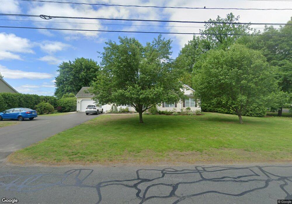
279 Springdale Rd Westfield, MA 01085
Estimated Value: $438,364 - $589,000
3
Beds
2
Baths
1,561
Sq Ft
$313/Sq Ft
Est. Value
About This Home
This home is located at 279 Springdale Rd, Westfield, MA 01085 and is currently estimated at $488,591, approximately $312 per square foot. 279 Springdale Rd is a home located in Hampden County with nearby schools including Westfield High School, White Oak School, and Westfield Christian Academy.
Ownership History
Date
Name
Owned For
Owner Type
Purchase Details
Closed on
May 29, 2003
Sold by
Sunnyside Corp
Bought by
Lewandowski Fred W and Lewandowski Mary M
Current Estimated Value
Home Financials for this Owner
Home Financials are based on the most recent Mortgage that was taken out on this home.
Original Mortgage
$219,600
Outstanding Balance
$96,753
Interest Rate
5.86%
Mortgage Type
VA
Estimated Equity
$391,838
Create a Home Valuation Report for This Property
The Home Valuation Report is an in-depth analysis detailing your home's value as well as a comparison with similar homes in the area
Home Values in the Area
Average Home Value in this Area
Purchase History
| Date | Buyer | Sale Price | Title Company |
|---|---|---|---|
| Lewandowski Fred W | $244,000 | -- |
Source: Public Records
Mortgage History
| Date | Status | Borrower | Loan Amount |
|---|---|---|---|
| Open | Lewandowski Fred W | $219,600 |
Source: Public Records
Tax History
| Year | Tax Paid | Tax Assessment Tax Assessment Total Assessment is a certain percentage of the fair market value that is determined by local assessors to be the total taxable value of land and additions on the property. | Land | Improvement |
|---|---|---|---|---|
| 2025 | $6,014 | $396,200 | $123,600 | $272,600 |
| 2024 | $6,160 | $385,700 | $113,100 | $272,600 |
| 2023 | $5,769 | $352,100 | $107,400 | $244,700 |
| 2022 | $5,769 | $312,000 | $95,800 | $216,200 |
| 2021 | $5,588 | $296,000 | $90,200 | $205,800 |
| 2020 | $5,527 | $287,100 | $90,200 | $196,900 |
| 2019 | $5,405 | $274,800 | $86,000 | $188,800 |
| 2018 | $5,320 | $274,800 | $86,000 | $188,800 |
| 2017 | $5,203 | $267,900 | $87,100 | $180,800 |
| 2016 | $5,208 | $267,900 | $87,100 | $180,800 |
| 2015 | $5,115 | $275,900 | $87,100 | $188,800 |
| 2014 | $3,728 | $275,900 | $87,100 | $188,800 |
Source: Public Records
Map
Nearby Homes
- 315 Holyoke Rd
- 24 Sunflower Ln Unit B
- 119 Union St Unit 4
- 19 Arch Rd
- 0 Lockhouse Rd Unit 73473161
- 120 Woodcliff Dr
- 19 Sherwood Ave
- Lot 3 Montgomery
- 9 Montgomery St
- 67 Woodside Terrace
- 118 Woodside Terrace
- 83 Mechanic St
- 13 Furrow St
- 63 George St
- 242 Eastwood Dr
- 33 George St
- 12 Sibley Ave
- 25 White St
- 52 Orange St
- 3 Belmont St
- 295 Springdale Rd
- 265 Springdale Rd
- 280 Springdale Rd
- 35 Denise Dr
- 305 Springdale Rd
- 304 Springdale Rd
- 32 Denise Dr
- 257 Springdale Rd
- 191 Sandy Hill Rd
- 8 Mary Ln
- 172 Sandy Hill Rd
- 311 Springdale Rd
- 252 Springdale Rd
- 308 Springdale Rd
- 247 Springdale Rd
- 26 Denise Dr
- 3 Mary Ln
- 23 Aldrich Dr
- 15 Aldrich Dr
- 31 Aldrich Dr