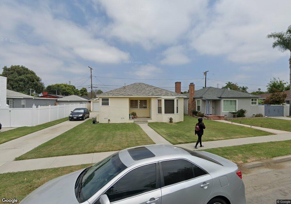
279 W Heath St Long Beach, CA 90805
College Square NeighborhoodEstimated Value: $601,400 - $686,000
2
Beds
1
Bath
942
Sq Ft
$690/Sq Ft
Est. Value
About This Home
This home is located at 279 W Heath St, Long Beach, CA 90805 and is currently estimated at $649,600, approximately $689 per square foot. 279 W Heath St is a home located in Los Angeles County with nearby schools including Starr King Elementary School, Hamilton Middle School, and Jordan High School.
Ownership History
Date
Name
Owned For
Owner Type
Purchase Details
Closed on
Nov 9, 2001
Sold by
Serrato Sandra R
Bought by
Serrato Sandra R and The Sandra R Serrato Trust
Current Estimated Value
Purchase Details
Closed on
Aug 17, 1998
Sold by
Serrato Sandra R and Sepulveda Sandra
Bought by
Serrato Sandra R
Home Financials for this Owner
Home Financials are based on the most recent Mortgage that was taken out on this home.
Original Mortgage
$73,500
Outstanding Balance
$15,280
Interest Rate
6.88%
Mortgage Type
Purchase Money Mortgage
Estimated Equity
$634,320
Create a Home Valuation Report for This Property
The Home Valuation Report is an in-depth analysis detailing your home's value as well as a comparison with similar homes in the area
Home Values in the Area
Average Home Value in this Area
Purchase History
| Date | Buyer | Sale Price | Title Company |
|---|---|---|---|
| Serrato Sandra R | -- | -- | |
| Serrato Sandra R | -- | Gateway Title Company |
Source: Public Records
Mortgage History
| Date | Status | Borrower | Loan Amount |
|---|---|---|---|
| Open | Serrato Sandra R | $73,500 |
Source: Public Records
Tax History
| Year | Tax Paid | Tax Assessment Tax Assessment Total Assessment is a certain percentage of the fair market value that is determined by local assessors to be the total taxable value of land and additions on the property. | Land | Improvement |
|---|---|---|---|---|
| 2025 | $1,726 | $119,861 | $75,255 | $44,606 |
| 2024 | $1,726 | $117,512 | $73,780 | $43,732 |
| 2023 | $1,700 | $115,209 | $72,334 | $42,875 |
| 2022 | $1,611 | $112,951 | $70,916 | $42,035 |
| 2021 | $1,577 | $110,737 | $69,526 | $41,211 |
| 2019 | $1,553 | $107,455 | $67,465 | $39,990 |
| 2018 | $1,406 | $105,349 | $66,143 | $39,206 |
| 2016 | $1,288 | $101,261 | $63,576 | $37,685 |
| 2015 | $1,239 | $99,741 | $62,622 | $37,119 |
| 2014 | $1,237 | $97,788 | $61,396 | $36,392 |
Source: Public Records
Map
Nearby Homes
- 6755 Harbor Ave
- 19 E 69th St Unit 6
- 21 E 68th St
- 45 E 69th Way
- 6665 Long Beach Blvd
- 6665 Long Beach Blvd Unit B23
- 125 E 68th Way
- 140 E 69th Way
- 1423 S Sloan Ave
- 1540 S Pearl Ave
- 180 E 67th St
- 1680 S Tartar Ln Unit 42
- 1300 S California Ave
- 223 E Marker St
- 247 E 67th Way
- 1100 E Tichenor St
- 270 E Heath Ln
- 289 E Heath Ln
- 3625 E Marcelle St
- 110 W Forhan St
- 297 W Heath St
- 265 W Heath St
- 251 W Heath St
- 278 W Fuego St
- 298 W Fuego St
- 264 W Fuego St
- 278 W Heath St
- 250 W Fuego St
- 237 W Heath St
- 298 W Heath St
- 264 W Heath St
- 236 W Fuego St
- 250 W Heath St
- 6813 Harbor Ave
- 6809 Harbor Ave
- 6819 Harbor Ave
- 6801 Harbor Ave
- 6829 Harbor Ave
- 223 W Heath St
- 236 W Heath St
Your Personal Tour Guide
Ask me questions while you tour the home.