279040 E 1870 Rd Comanche, OK 73529
Estimated Value: $61,000 - $313,000
3
Beds
2
Baths
2,467
Sq Ft
$70/Sq Ft
Est. Value
About This Home
This home is located at 279040 E 1870 Rd, Comanche, OK 73529 and is currently estimated at $172,377, approximately $69 per square foot. 279040 E 1870 Rd is a home located in Stephens County with nearby schools including Grandview Public School.
Ownership History
Date
Name
Owned For
Owner Type
Purchase Details
Closed on
Jul 26, 2023
Sold by
Mccord Steven T and Mccord Christina K
Bought by
Mccord Andrew S and Mccord Megan R
Current Estimated Value
Purchase Details
Closed on
Nov 15, 2013
Sold by
Rice Jessica L and Rice Randy L
Bought by
Mccord Steven T and Mccord Christina K
Purchase Details
Closed on
Jan 24, 2003
Sold by
Mccord Steve and Mccord Christina
Purchase Details
Closed on
Sep 10, 2001
Sold by
Mccord Fred and Mccord Anna Lea
Create a Home Valuation Report for This Property
The Home Valuation Report is an in-depth analysis detailing your home's value as well as a comparison with similar homes in the area
Purchase History
| Date | Buyer | Sale Price | Title Company |
|---|---|---|---|
| Mccord Andrew S | -- | None Listed On Document | |
| Mccord Steven T | $7,500 | None Available | |
| Mccord Steven T | $7,500 | None Available | |
| -- | $75,000 | -- | |
| -- | -- | -- |
Source: Public Records
Tax History
| Year | Tax Paid | Tax Assessment Tax Assessment Total Assessment is a certain percentage of the fair market value that is determined by local assessors to be the total taxable value of land and additions on the property. | Land | Improvement |
|---|---|---|---|---|
| 2025 | $97 | $1,444 | $654 | $790 |
| 2024 | $97 | $1,375 | $654 | $721 |
| 2023 | $97 | $1,309 | $654 | $655 |
| 2022 | $105 | $1,513 | $654 | $859 |
| 2021 | $105 | $1,493 | $652 | $841 |
| 2020 | $95 | $1,354 | $652 | $702 |
| 2019 | $113 | $1,603 | $652 | $951 |
| 2018 | $116 | $1,652 | $652 | $1,000 |
| 2017 | $118 | $1,683 | $652 | $1,031 |
| 2016 | $113 | $1,598 | $652 | $946 |
| 2015 | $625 | $1,521 | $662 | $859 |
| 2014 | $625 | $1,521 | $662 | $859 |
Source: Public Records
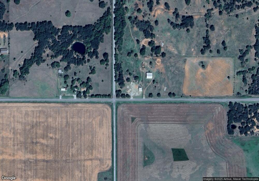
Map
Nearby Homes
- ? N 2800 Rd
- 117 Seminole Dr
- 182248 N 2790 Rd
- 311 S 6th St
- 273177 Sunset Rd
- 303 N 8th St
- 612 Brown Ave
- 0 Oklahoma 53
- 703 Wilson Ave
- 508 Wilson Ave
- 281477 Doctor Pepper Rd
- Rt Rt 2
- 181259 N 2590 Rd
- 620 Clark Ave
- 273725 Forest Dr
- Rr N2730 E1910
- 180163 Larue Dr
- 282096 Andrews Dr
- 110 4th St
- 181473 N 2850 Rd
Your Personal Tour Guide
Ask me questions while you tour the home.