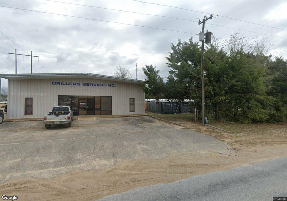
2797 Goodwin Ave Crestview, FL 32539
Estimated Value: $146,143
Studio
--
Bath
744
Sq Ft
$196/Sq Ft
Est. Value
About This Home
This home is located at 2797 Goodwin Ave, Crestview, FL 32539 and is currently estimated at $146,143, approximately $196 per square foot. 2797 Goodwin Ave is a home located in Okaloosa County with nearby schools including Riverside Elementary School, Shoal River Middle School, and Crestview High School.
Ownership History
Date
Name
Owned For
Owner Type
Purchase Details
Closed on
Dec 8, 2011
Sold by
Rogers Tena J
Bought by
Florida/Dom Investments Llc
Current Estimated Value
Purchase Details
Closed on
Oct 19, 2011
Sold by
Freeport Investment Group Llc
Bought by
Rogers Tena J
Purchase Details
Closed on
Apr 2, 2002
Sold by
Dunn John W and Dunn Annabelle M
Bought by
Freeport Investment Group Llc
Home Financials for this Owner
Home Financials are based on the most recent Mortgage that was taken out on this home.
Original Mortgage
$40,000
Interest Rate
8%
Mortgage Type
Seller Take Back
Create a Home Valuation Report for This Property
The Home Valuation Report is an in-depth analysis detailing your home's value as well as a comparison with similar homes in the area
Home Values in the Area
Average Home Value in this Area
Purchase History
| Date | Buyer | Sale Price | Title Company |
|---|---|---|---|
| Florida/Dom Investments Llc | -- | None Available | |
| Rogers Tena J | -- | None Available | |
| Freeport Investment Group Llc | $50,000 | -- |
Source: Public Records
Mortgage History
| Date | Status | Borrower | Loan Amount |
|---|---|---|---|
| Previous Owner | Freeport Investment Group Llc | $40,000 |
Source: Public Records
Tax History
| Year | Tax Paid | Tax Assessment Tax Assessment Total Assessment is a certain percentage of the fair market value that is determined by local assessors to be the total taxable value of land and additions on the property. | Land | Improvement |
|---|---|---|---|---|
| 2025 | $665 | $41,880 | $41,880 | -- |
| 2024 | $651 | $40,269 | $40,269 | -- |
| 2023 | $651 | $40,269 | $40,269 | $0 |
| 2022 | $624 | $38,351 | $38,351 | $0 |
| 2021 | $600 | $35,842 | $35,842 | $0 |
| 2020 | $597 | $35,487 | $35,487 | $0 |
| 2019 | $548 | $32,210 | $32,210 | $0 |
| 2018 | $548 | $31,891 | $0 | $0 |
| 2017 | $555 | $31,891 | $0 | $0 |
| 2016 | $552 | $31,891 | $0 | $0 |
| 2015 | $548 | $30,962 | $0 | $0 |
| 2014 | $546 | $32,592 | $0 | $0 |
Source: Public Records
Map
Nearby Homes
- 216 Brookmeade Dr
- TBD Patriot Ln
- 68+Acres Patriot Ln
- 420 E Williams Ave
- 402 Church St
- 110 Creve Core Dr
- 212 Secretariat Dr
- 9 Holly Rd
- 401-409 Brock Ave
- 5619 Thatcher Rd
- 579 Brock Ave
- 585 Brock Ave
- 583 Brock Ave
- 795 Bay St
- 858 S Rayburn St
- 104 Sandstone Trail
- 311 Seattle Slew Ct
- 294 Limestone Cir
- 2928 Aplin Rd
- 152 Creve Core Dr
- 2799 Goodwin Ave
- 1.01 AC Goodwin Ave
- 1.01 Ac Goodwin Ave
- 2789 Goodwin Ave
- 220 Brookmeade Dr
- 222 Brookmeade Dr
- 218 Brookmeade Dr
- 224 Brookmeade Dr
- 217 Brookmeade Dr
- 215 Brookmeade Dr
- 208 Brookmeade Dr
- 213 Brookmeade Dr
- 211 Brookmeade Dr
- 219 Runnymeade Dr
- 206 Brookmeade Dr
- 224 Runnymeade Dr
- 303 Runnymeade Dr
- 226 Runnymeade Dr
- 205 Brookmeade Dr
- 228 Runnymeade Dr
