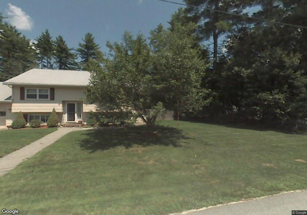
28 Balcom Rd Pelham, NH 03076
Estimated Value: $479,000 - $529,000
3
Beds
1
Bath
1,392
Sq Ft
$363/Sq Ft
Est. Value
About This Home
This home is located at 28 Balcom Rd, Pelham, NH 03076 and is currently estimated at $505,212, approximately $362 per square foot. 28 Balcom Rd is a home located in Hillsborough County with nearby schools including Pelham Elementary School, Pelham Memorial School, and Pelham High School.
Ownership History
Date
Name
Owned For
Owner Type
Purchase Details
Closed on
Mar 30, 2021
Sold by
Burgos Luis and Burgos Jaime
Bought by
Burgos Luis
Current Estimated Value
Purchase Details
Closed on
May 23, 2011
Sold by
Citibank Na Tr
Bought by
Burgos Luis
Home Financials for this Owner
Home Financials are based on the most recent Mortgage that was taken out on this home.
Original Mortgage
$132,000
Interest Rate
4.88%
Mortgage Type
Purchase Money Mortgage
Purchase Details
Closed on
Mar 10, 2011
Sold by
Michaud Mary C
Bought by
Citibank Na Tr
Purchase Details
Closed on
Dec 10, 1998
Sold by
Michaud Roger P
Bought by
Michaud Scott E and Michaud Mary C
Home Financials for this Owner
Home Financials are based on the most recent Mortgage that was taken out on this home.
Original Mortgage
$109,100
Interest Rate
6.8%
Create a Home Valuation Report for This Property
The Home Valuation Report is an in-depth analysis detailing your home's value as well as a comparison with similar homes in the area
Home Values in the Area
Average Home Value in this Area
Purchase History
| Date | Buyer | Sale Price | Title Company |
|---|---|---|---|
| Burgos Luis | -- | None Available | |
| Burgos Luis | $165,000 | -- | |
| Citibank Na Tr | $169,000 | -- | |
| Michaud Scott E | $107,000 | -- |
Source: Public Records
Mortgage History
| Date | Status | Borrower | Loan Amount |
|---|---|---|---|
| Previous Owner | Michaud Scott E | $132,000 | |
| Previous Owner | Michaud Scott E | $45,000 | |
| Previous Owner | Michaud Scott E | $260,000 | |
| Previous Owner | Michaud Scott E | $109,100 |
Source: Public Records
Tax History
| Year | Tax Paid | Tax Assessment Tax Assessment Total Assessment is a certain percentage of the fair market value that is determined by local assessors to be the total taxable value of land and additions on the property. | Land | Improvement |
|---|---|---|---|---|
| 2024 | $6,720 | $366,400 | $136,400 | $230,000 |
| 2023 | $6,665 | $366,400 | $136,400 | $230,000 |
| 2022 | $6,426 | $368,900 | $136,400 | $232,500 |
| 2021 | $5,297 | $331,900 | $136,400 | $195,500 |
| 2020 | $5,498 | $272,200 | $108,800 | $163,400 |
| 2019 | $5,281 | $272,200 | $108,800 | $163,400 |
| 2018 | $5,425 | $252,800 | $108,800 | $144,000 |
| 2017 | $5,423 | $252,800 | $108,800 | $144,000 |
| 2016 | $5,296 | $252,800 | $108,800 | $144,000 |
| 2015 | $4,850 | $208,500 | $103,500 | $105,000 |
| 2014 | $4,768 | $208,500 | $103,500 | $105,000 |
| 2013 | $4,768 | $208,500 | $103,500 | $105,000 |
Source: Public Records
Map
Nearby Homes
- 6 Hemlock Dr
- 4 Haystack Cir
- Lot 4 Canterbury Rd Unit 4
- 94 Tanager Cir Unit 94
- 11 Wellesley Dr
- 7 Little Island Park
- 2 S Shore Dr
- 48 Marblehead Rd
- 1102 Mammoth Rd Unit A&B
- 1109 Mammoth Rd Unit A
- 3 Kennedy Dr
- 11 Venus Way
- 7 Venus Way Unit 22
- 47 Campbell St
- 30 Winter St
- 18 Winter St
- 4 Rosemary St
- 10 Oakland Ridge Rd Unit 11
- 56 Nelson St
- 22 Ryan Farm Rd
Your Personal Tour Guide
Ask me questions while you tour the home.