28 Cantwell Dr Middletown, DE 19709
Estimated Value: $622,000 - $659,000
4
Beds
4
Baths
2,673
Sq Ft
$239/Sq Ft
Est. Value
About This Home
This home is located at 28 Cantwell Dr, Middletown, DE 19709 and is currently estimated at $638,385, approximately $238 per square foot. 28 Cantwell Dr is a home located in New Castle County with nearby schools including Old State Elementary School, Cantwell's Bridge Middle School, and Odessa High School.
Ownership History
Date
Name
Owned For
Owner Type
Purchase Details
Closed on
Mar 7, 2002
Sold by
Nvr Inc
Bought by
Keele Mark C and Keele Sandra L
Current Estimated Value
Home Financials for this Owner
Home Financials are based on the most recent Mortgage that was taken out on this home.
Original Mortgage
$212,200
Outstanding Balance
$83,791
Interest Rate
7.01%
Estimated Equity
$554,594
Purchase Details
Closed on
Dec 7, 2001
Sold by
Cantwell Ridge Llc
Bought by
Nvr Inc
Create a Home Valuation Report for This Property
The Home Valuation Report is an in-depth analysis detailing your home's value as well as a comparison with similar homes in the area
Home Values in the Area
Average Home Value in this Area
Purchase History
| Date | Buyer | Sale Price | Title Company |
|---|---|---|---|
| Keele Mark C | $235,815 | -- | |
| Nvr Inc | $58,000 | -- |
Source: Public Records
Mortgage History
| Date | Status | Borrower | Loan Amount |
|---|---|---|---|
| Open | Keele Mark C | $212,200 |
Source: Public Records
Tax History
| Year | Tax Paid | Tax Assessment Tax Assessment Total Assessment is a certain percentage of the fair market value that is determined by local assessors to be the total taxable value of land and additions on the property. | Land | Improvement |
|---|---|---|---|---|
| 2025 | $4,135 | $512,200 | $105,200 | $407,000 |
| 2024 | $4,419 | $102,100 | $8,700 | $93,400 |
| 2023 | $3,790 | $102,100 | $8,700 | $93,400 |
| 2022 | $3,800 | $102,100 | $8,700 | $93,400 |
| 2021 | $3,753 | $102,100 | $8,700 | $93,400 |
| 2020 | $3,712 | $102,100 | $8,700 | $93,400 |
| 2019 | $3,743 | $102,100 | $8,700 | $93,400 |
| 2018 | $3,236 | $102,100 | $8,700 | $93,400 |
| 2017 | $3,201 | $102,100 | $8,700 | $93,400 |
| 2016 | $2,913 | $102,100 | $8,700 | $93,400 |
| 2015 | $2,836 | $102,100 | $8,700 | $93,400 |
| 2014 | $2,845 | $102,100 | $8,700 | $93,400 |
Source: Public Records
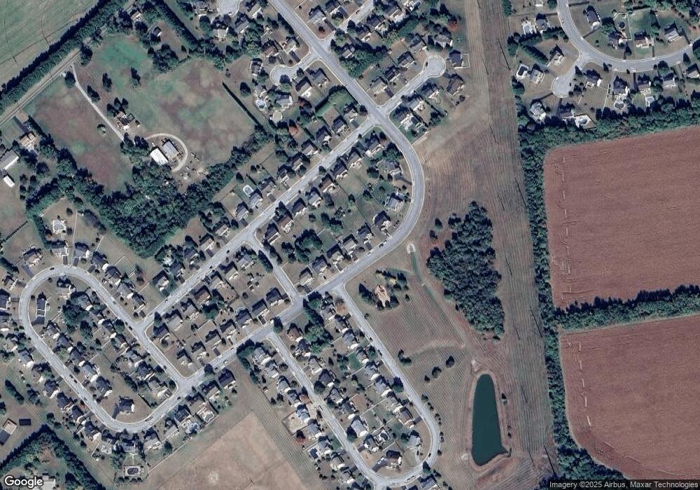
Map
Nearby Homes
- 528 Silverhill Crossing
- 163 Middessa Dr
- 27 Basalt St
- 520 Chestnut Ln
- 220 Abbigail Crossing
- 3349 Harris Rd
- 3172 Dupont Pkwy
- 129 Abbigail Crossing
- 929 Robinson Rd
- 227 Avonbridge Dr
- 110 N Meadow Dr
- 1019 Robinson Rd
- 413 Janets Way
- 3355 Harris Rd
- 1020 Robinson Rd
- 1027 Robinson Rd
- 1069 Robinson Rd Unit PEMBROOK PLAN
- 1067 Robinson Rd Unit LAKELAND PLAN
- 1065 Robinson Rd Unit WHITFIELD RANCH PLAN
- 1071 Robinson Rd Unit DELRAY PLAN
- 26 Cantwell Dr
- 32 Cantwell Dr
- 24 Cantwell Dr
- 509 Silverhill Crossing
- 511 Silverhill Crossing
- 507 Silverhill Crossing
- 513 Silverhill Crossing
- 34 Cantwell Dr
- 505 Silverhill Crossing
- 22 Cantwell Dr
- 515 Silverhill Crossing
- 503 Silverhill Crossing
- 600 Corbit Dr
- 20 Cantwell Dr
- 602 Corbit Dr
- 38 Cantwell Dr
- 510 Silverhill Crossing
- 508 Silverhill Crossing
- 512 Silverhill Crossing
- 501 Silverhill Crossing
Your Personal Tour Guide
Ask me questions while you tour the home.