Estimated Value: $1,096,739 - $1,376,000
4
Beds
3
Baths
2,840
Sq Ft
$429/Sq Ft
Est. Value
About This Home
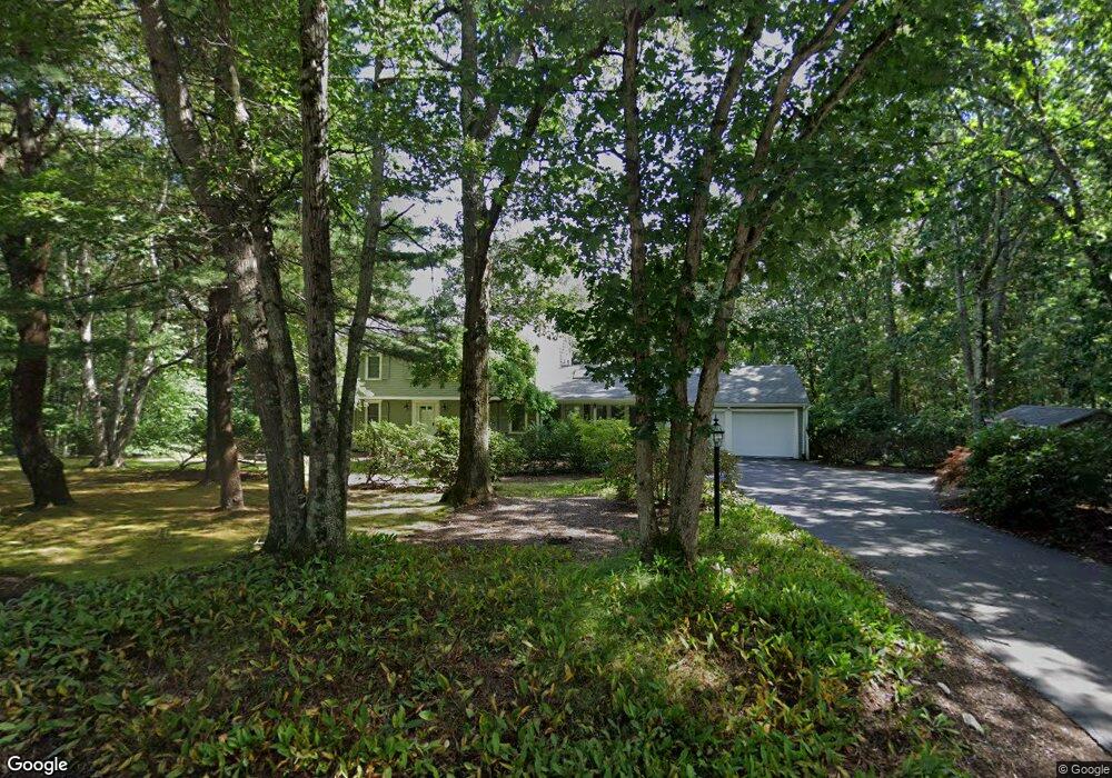
This home is located at 28 Crest Dr, Dover, MA 02030 and is currently estimated at $1,219,435, approximately $429 per square foot. 28 Crest Dr is a home located in Norfolk County with nearby schools including Chickering Elementary School, Dover-Sherborn Regional Middle School, and Dover-Sherborn Regional High School.
Ownership History
Date
Name
Owned For
Owner Type
Purchase Details
Closed on
Apr 29, 2022
Sold by
Tarazi Nakhle A and Tarazi Randa
Bought by
R N A
Current Estimated Value
Purchase Details
Closed on
Sep 16, 1994
Sold by
Mitchell Gary F and Mitchell Diane C
Bought by
Tarazi Nakhle A and Tarazi Randa
Home Financials for this Owner
Home Financials are based on the most recent Mortgage that was taken out on this home.
Original Mortgage
$276,000
Interest Rate
8.38%
Mortgage Type
Purchase Money Mortgage
Purchase Details
Closed on
Aug 27, 1991
Sold by
Legg Merle A and Leggg Yangja
Bought by
Mitchell Gary F and Mitchell Diane C
Home Financials for this Owner
Home Financials are based on the most recent Mortgage that was taken out on this home.
Original Mortgage
$288,000
Interest Rate
9.55%
Mortgage Type
Purchase Money Mortgage
Create a Home Valuation Report for This Property
The Home Valuation Report is an in-depth analysis detailing your home's value as well as a comparison with similar homes in the area
Home Values in the Area
Average Home Value in this Area
Purchase History
| Date | Buyer | Sale Price | Title Company |
|---|---|---|---|
| R N A | -- | None Available | |
| Tarazi Nakhle A | $345,000 | -- | |
| Mitchell Gary F | $320,000 | -- |
Source: Public Records
Mortgage History
| Date | Status | Borrower | Loan Amount |
|---|---|---|---|
| Previous Owner | Mitchell Gary F | $100,000 | |
| Previous Owner | Mitchell Gary F | $268,000 | |
| Previous Owner | Mitchell Gary F | $276,000 | |
| Previous Owner | Mitchell Gary F | $288,000 |
Source: Public Records
Tax History
| Year | Tax Paid | Tax Assessment Tax Assessment Total Assessment is a certain percentage of the fair market value that is determined by local assessors to be the total taxable value of land and additions on the property. | Land | Improvement |
|---|---|---|---|---|
| 2025 | $11,627 | $1,031,700 | $599,000 | $432,700 |
| 2024 | $11,015 | $1,005,000 | $599,000 | $406,000 |
| 2023 | $10,719 | $879,300 | $522,700 | $356,600 |
| 2022 | $9,879 | $795,400 | $479,200 | $316,200 |
| 2021 | $10,113 | $784,600 | $479,200 | $305,400 |
| 2020 | $10,074 | $784,600 | $479,200 | $305,400 |
| 2019 | $10,145 | $784,600 | $479,200 | $305,400 |
| 2018 | $9,315 | $725,500 | $435,600 | $289,900 |
| 2017 | $9,573 | $733,600 | $435,600 | $298,000 |
| 2016 | $9,168 | $711,800 | $413,800 | $298,000 |
| 2015 | $9,040 | $711,800 | $413,800 | $298,000 |
Source: Public Records
Map
Nearby Homes
- 11 Stonegate Ln
- 16 Crest Dr
- 9 Stonegate Dr
- 5 Crest Dr W
- 14 Ruel Dr
- 4 Dancer Farm Dr
- 29 Hartford St
- 36 Kingswood Rd
- 93 Walpole St
- 151 Arcadia Rd
- 55 Lakeshore Dr
- 104 Wood End Ln
- 162 Mayfair Dr
- 60 Warwick Dr
- 49 Powisset St
- 100 Magnolia Dr
- 68 Abbey Rd Unit 68
- 207 Hartford St
- 26 Albemarle Rd
- 29 Rolling Ln
Your Personal Tour Guide
Ask me questions while you tour the home.