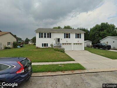
28 Deer Dr Unit 15 Hanover, PA 17331
Estimated Value: $242,000 - $259,551
4
Beds
3
Baths
1,144
Sq Ft
$220/Sq Ft
Est. Value
About This Home
This home is located at 28 Deer Dr Unit 15, Hanover, PA 17331 and is currently estimated at $251,138, approximately $219 per square foot. 28 Deer Dr Unit 15 is a home located in Adams County with nearby schools including New Oxford Senior High School, St. Teresa of Calcutta Catholic School - McSherrystown Campus, and St. Teresa of Calcutta Catholic School - Conewago Campus.
Ownership History
Date
Name
Owned For
Owner Type
Purchase Details
Closed on
Apr 16, 2010
Sold by
Roth Carolyn M and Keefer Carolyn R
Bought by
Keefer James J and Keefer Carolyn R
Current Estimated Value
Home Financials for this Owner
Home Financials are based on the most recent Mortgage that was taken out on this home.
Original Mortgage
$60,500
Interest Rate
3.31%
Mortgage Type
New Conventional
Create a Home Valuation Report for This Property
The Home Valuation Report is an in-depth analysis detailing your home's value as well as a comparison with similar homes in the area
Home Values in the Area
Average Home Value in this Area
Purchase History
| Date | Buyer | Sale Price | Title Company |
|---|---|---|---|
| Keefer James J | -- | None Available |
Source: Public Records
Mortgage History
| Date | Status | Borrower | Loan Amount |
|---|---|---|---|
| Previous Owner | Keefer James J | $60,500 |
Source: Public Records
Tax History Compared to Growth
Tax History
| Year | Tax Paid | Tax Assessment Tax Assessment Total Assessment is a certain percentage of the fair market value that is determined by local assessors to be the total taxable value of land and additions on the property. | Land | Improvement |
|---|---|---|---|---|
| 2025 | $4,078 | $170,300 | $38,000 | $132,300 |
| 2024 | $3,767 | $170,300 | $38,000 | $132,300 |
| 2023 | $3,628 | $170,300 | $38,000 | $132,300 |
| 2022 | $3,517 | $170,300 | $38,000 | $132,300 |
| 2021 | $3,427 | $170,300 | $38,000 | $132,300 |
| 2020 | $3,432 | $170,300 | $38,000 | $132,300 |
| 2019 | $3,278 | $170,300 | $38,000 | $132,300 |
| 2018 | $3,209 | $170,300 | $38,000 | $132,300 |
| 2017 | $3,076 | $170,300 | $38,000 | $132,300 |
| 2016 | -- | $170,300 | $38,000 | $132,300 |
| 2015 | -- | $170,300 | $38,000 | $132,300 |
| 2014 | -- | $170,300 | $38,000 | $132,300 |
Source: Public Records
Map
Nearby Homes
- 657 Cricket Ln Unit 5
- 502 South St Unit 1
- 626 Linden Ave
- 700 Linden Ave
- 718 Linden Ave
- 240 Stafford Dr Unit 96
- 355 North St
- 12 Commerce St
- 510 High St
- 362 High St
- 138 Holstein Dr
- 65 Eagle Ln Unit 3
- 97 Flint Dr Unit 56
- 126 3rd St
- 41 Squire Cir Unit 25A
- 408 Frederick St
- 54 Flint Dr Unit 50
- 31 4th St
- 316 N Franklin St
- 65 Flint Dr
- 28 Deer Dr Unit 15
- 36 Deer Dr Unit 14
- 20 Deer Dr Unit 16
- 33 Elk Dr Unit 47
- 39 Elk Dr Unit 48
- 42 Deer Dr Unit 13
- 14 Deer Dr Unit 17
- 27 Deer Dr Unit 32
- 19 Deer Dr Unit 31
- 27 Elk Dr Unit 46
- 35 Deer Dr Unit 33
- 45 Elk Dr Unit 49
- 13 Deer Dr Unit 30
- 610 N Blettner Ave Unit 18
- 41 Deer Dr Unit 34
- 616 N Blettner Ave Unit 37
- 5 Deer Dr Unit 19
- 18 Bear Cir Unit 28
- 10 Bear Cir Unit 29
- 51 Elk Dr Unit 50