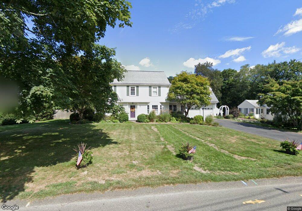
28 Dunbar St Canton, MA 02021
Estimated Value: $914,000 - $1,022,000
4
Beds
3
Baths
2,488
Sq Ft
$384/Sq Ft
Est. Value
About This Home
This home is located at 28 Dunbar St, Canton, MA 02021 and is currently estimated at $954,506, approximately $383 per square foot. 28 Dunbar St is a home located in Norfolk County with nearby schools including Canton High School, St. John the Evangelist School, and Chabad Day School of School.
Ownership History
Date
Name
Owned For
Owner Type
Purchase Details
Closed on
Jun 16, 2020
Sold by
28 Dunbar Street Rt
Bought by
Guerini Ft
Current Estimated Value
Purchase Details
Closed on
Jun 10, 1996
Sold by
Cash Ex Barbara E
Bought by
Guerni Lois M and Guerini Anne M
Create a Home Valuation Report for This Property
The Home Valuation Report is an in-depth analysis detailing your home's value as well as a comparison with similar homes in the area
Home Values in the Area
Average Home Value in this Area
Purchase History
| Date | Buyer | Sale Price | Title Company |
|---|---|---|---|
| Guerini Ft | -- | None Available | |
| Guerni Lois M | $228,000 | -- |
Source: Public Records
Mortgage History
| Date | Status | Borrower | Loan Amount |
|---|---|---|---|
| Previous Owner | Guerni Lois M | $130,000 | |
| Previous Owner | Guerni Lois M | $173,000 | |
| Previous Owner | Guerni Lois M | $180,000 | |
| Previous Owner | Guerni Lois M | $180,000 |
Source: Public Records
Tax History Compared to Growth
Tax History
| Year | Tax Paid | Tax Assessment Tax Assessment Total Assessment is a certain percentage of the fair market value that is determined by local assessors to be the total taxable value of land and additions on the property. | Land | Improvement |
|---|---|---|---|---|
| 2025 | $7,707 | $779,300 | $305,300 | $474,000 |
| 2024 | $7,142 | $716,300 | $293,600 | $422,700 |
| 2023 | $6,899 | $652,700 | $293,600 | $359,100 |
| 2022 | $6,882 | $606,300 | $279,600 | $326,700 |
| 2021 | $6,698 | $549,000 | $254,200 | $294,800 |
| 2020 | $6,399 | $523,200 | $242,100 | $281,100 |
| 2019 | $6,333 | $510,700 | $220,000 | $290,700 |
| 2018 | $6,102 | $491,300 | $211,600 | $279,700 |
| 2017 | $6,165 | $482,000 | $207,500 | $274,500 |
| 2016 | $6,015 | $470,300 | $202,400 | $267,900 |
| 2015 | $5,940 | $463,300 | $196,500 | $266,800 |
Source: Public Records
Map
Nearby Homes
- 212 Washington St
- 194 Washington St Unit J
- 29-31 Pond St
- 19 Walnut Knolls
- 185 Bailey St
- 189 Bailey St
- 71 High St
- 111 Ethyl Way Unit E
- 80 Walnut St Unit 405
- 8 Patricia Dr
- 41 Bayberry Dr Unit 4
- 398 Erin Rd Unit 398
- 380 N Main St
- 17 Patricia Dr
- 74 Ethyl Way
- 16 Jessica Dr Unit E
- 3 Donald Rd
- 17 Neponset St Unit A
- 90 Charles Cir
- 21 Wall St Unit D
- 30 Dunbar St
- 20 Dunbar St
- 60 Dunbar St
- 39 Dunbar St
- 35 Dunbar St
- 63 Dunbar St
- 16 Dunbar St
- 31 Dunbar St Unit 33
- 31 Dunbar St Unit 1
- 33 Dunbar St Unit 33
- 33 Dunbar St Unit 2
- 33 Dunbar St
- 65 Dunbar St
- 219 Messinger St
- 1 Greenwood Rd
- 213 Messinger St
- 68 Dunbar St
- 183 Washington St
- 75 Dunbar St
- 6 Greenwood Rd