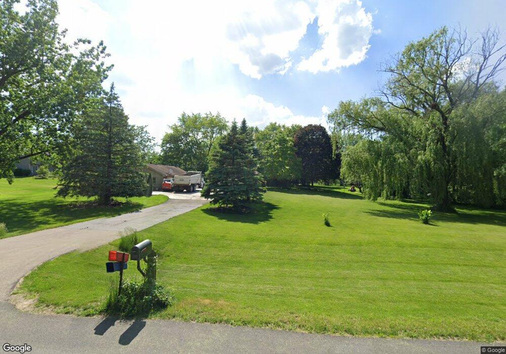
28 Frontier St Oswego, IL 60543
South Oswego NeighborhoodEstimated Value: $420,154 - $516,000
Studio
1
Bath
2,014
Sq Ft
$235/Sq Ft
Est. Value
About This Home
This home is located at 28 Frontier St, Oswego, IL 60543 and is currently estimated at $473,289, approximately $234 per square foot. 28 Frontier St is a home located in Kendall County with nearby schools including Hunt Club Elementary School, Traughber Junior High School, and Oswego High School.
Ownership History
Date
Name
Owned For
Owner Type
Purchase Details
Closed on
Apr 21, 2003
Sold by
Nelson Gary A and Nelson Myrtle Marie
Bought by
Brummel Randall L and Brummel Charlotte A
Current Estimated Value
Home Financials for this Owner
Home Financials are based on the most recent Mortgage that was taken out on this home.
Original Mortgage
$226,800
Interest Rate
5.16%
Mortgage Type
Purchase Money Mortgage
Purchase Details
Closed on
May 1, 1989
Create a Home Valuation Report for This Property
The Home Valuation Report is an in-depth analysis detailing your home's value as well as a comparison with similar homes in the area
Home Values in the Area
Average Home Value in this Area
Purchase History
| Date | Buyer | Sale Price | Title Company |
|---|---|---|---|
| Brummel Randall L | $286,000 | Multiple | |
| -- | $117,500 | -- |
Source: Public Records
Mortgage History
| Date | Status | Borrower | Loan Amount |
|---|---|---|---|
| Closed | Brummel Randall L | $226,800 |
Source: Public Records
Tax History
| Year | Tax Paid | Tax Assessment Tax Assessment Total Assessment is a certain percentage of the fair market value that is determined by local assessors to be the total taxable value of land and additions on the property. | Land | Improvement |
|---|---|---|---|---|
| 2024 | $8,564 | $127,703 | $18,615 | $109,088 |
| 2023 | $8,684 | $115,856 | $17,729 | $98,127 |
| 2022 | $8,684 | $111,206 | $17,729 | $93,477 |
| 2021 | $8,425 | $104,752 | $15,204 | $89,548 |
| 2020 | $7,636 | $93,888 | $14,990 | $78,898 |
| 2019 | $7,643 | $92,711 | $14,802 | $77,909 |
| 2018 | $7,501 | $88,515 | $14,132 | $74,383 |
| 2017 | $7,411 | $84,517 | $14,132 | $70,385 |
| 2016 | $3,469 | $78,408 | $13,958 | $64,450 |
| 2015 | $6,879 | $74,412 | $13,247 | $61,165 |
| 2014 | -- | $68,271 | $13,247 | $55,024 |
| 2013 | -- | $68,271 | $13,247 | $55,024 |
Source: Public Records
Map
Nearby Homes
- 51 Crestview Dr
- 5500 Half Hollow Ct
- 4541 Waa-Kee-sha Dr
- 53 Abbeyfeale Dr
- 7267 Roberts Ct
- 7400 Roberts Dr
- 7555 Fairway Dr
- 4215 Southerland Dr
- 5983 Championship Ct
- 539 Sudbury Cir
- 4700 Laughton Ave
- 7751 Bentgrass Cir
- 5508 Legend Dr
- 5021 Minkler Rd
- 83 Oak Creek Dr
- 482 Deerfield Dr
- 483 Deerfield Dr
- 5751 Audrey Ave
- 676 Cumberland Ln
- 100 acres Cherry Rd
- 24 W Timberlake Trail
- 29 Frontier St Unit 2
- 10 Northwest Pass Unit 2
- 86 Tomahawk Trail
- 102 Tomahawk Trail
- 20 W Timberlake Trail
- 15 W Timberlake Trail
- 3 W Timberlake Trail
- 66 Tomahawk Trail
- 22 Northwest Pass
- 5 Northwest Pass
- 28 E Timberlake Trail
- 110 Tomahawk Trail
- 42 W Timberlake Trail
- 81 Tomahawk Trail
- 97 Tomahawk Trail
- 59 W Timberlake Trail
- 107 Tomahawk Trail
- 40 E Timberlake Trail
- 46 Tomahawk Trail
Your Personal Tour Guide
Ask me questions while you tour the home.