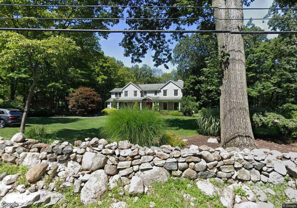
28 Godfrey Rd W Weston, CT 06883
Estimated Value: $1,376,000 - $1,858,000
5
Beds
5
Baths
3,596
Sq Ft
$436/Sq Ft
Est. Value
About This Home
This home is located at 28 Godfrey Rd W, Weston, CT 06883 and is currently estimated at $1,567,400, approximately $435 per square foot. 28 Godfrey Rd W is a home located in Fairfield County with nearby schools including Hurlbutt Elementary School, Weston Intermediate School, and Weston Middle School.
Ownership History
Date
Name
Owned For
Owner Type
Purchase Details
Closed on
Jan 31, 1997
Sold by
Tyree Thomas and Tyree Jane
Bought by
Carey John and Carey Deborah
Current Estimated Value
Purchase Details
Closed on
Mar 30, 1989
Sold by
Lawson Donald
Bought by
Tyree Thomas
Create a Home Valuation Report for This Property
The Home Valuation Report is an in-depth analysis detailing your home's value as well as a comparison with similar homes in the area
Home Values in the Area
Average Home Value in this Area
Purchase History
| Date | Buyer | Sale Price | Title Company |
|---|---|---|---|
| Carey John | $425,000 | -- | |
| Tyree Thomas | $375,000 | -- |
Source: Public Records
Mortgage History
| Date | Status | Borrower | Loan Amount |
|---|---|---|---|
| Open | Tyree Thomas | $840,000 | |
| Closed | Tyree Thomas | $970,000 | |
| Closed | Tyree Thomas | $998,000 |
Source: Public Records
Tax History Compared to Growth
Tax History
| Year | Tax Paid | Tax Assessment Tax Assessment Total Assessment is a certain percentage of the fair market value that is determined by local assessors to be the total taxable value of land and additions on the property. | Land | Improvement |
|---|---|---|---|---|
| 2025 | $20,019 | $837,620 | $189,280 | $648,340 |
| 2024 | $19,659 | $837,620 | $189,280 | $648,340 |
| 2023 | $18,841 | $569,910 | $189,280 | $380,630 |
| 2022 | $18,344 | $556,380 | $189,280 | $367,100 |
| 2021 | $7,651 | $556,380 | $189,280 | $367,100 |
| 2020 | $18,010 | $556,380 | $189,280 | $367,100 |
| 2019 | $18,010 | $556,380 | $189,280 | $367,100 |
| 2018 | $7,561 | $603,600 | $210,300 | $393,300 |
| 2017 | $17,450 | $603,600 | $210,300 | $393,300 |
| 2016 | $17,239 | $603,600 | $210,300 | $393,300 |
| 2015 | $17,305 | $603,600 | $210,300 | $393,300 |
| 2014 | $17,046 | $603,600 | $210,300 | $393,300 |
Source: Public Records
Map
Nearby Homes
- 15 Mountain View Dr
- 28 Old Orchard Dr
- 4 Trails End Rd
- 326 Georgetown Rd
- 30 Black Alder Ln
- 335 Georgetown Rd
- 193 Newtown Turnpike
- 23 Wilson Rd
- 27 Rogues Ridge
- 76 Lords Hwy
- 30 Coley Rd
- 38 Honey Hill Rd
- 41 Calvin Rd
- 185 Sturges Ridge Rd
- 96 Georgetown Rd
- 25 Samuelson Rd
- 29 Salem Rd
- 33 Cannon Rd
- 55 Liberty St
- 76 Sturges Ridge Rd
- 26 Godfrey Rd W
- 23 Godfrey Rd W
- 4 Scatacook Trail
- 19 Godfrey Rd W
- 18 Godfrey Rd W
- 29 Godfrey Rd W
- 3 Scatacook Trail
- 10 Godfrey Rd W
- 10 Scatacook Trail
- 3 Mountain View Dr
- 6 Mountain View Dr
- 41 Godfrey Rd W
- 12 Godfrey Rd W
- 40 Godfrey Rd W
- 10 Mountain View Dr
- 7 Mountain View Dr
- 9 Scatacook Trail
- 15 Godfrey Rd W
- 8 Godfrey Rd W
- 14 Scatacook Trail