28 Hatt Rd Westmoreland, NH 03467
Estimated Value: $556,000 - $708,000
3
Beds
2
Baths
944
Sq Ft
$667/Sq Ft
Est. Value
About This Home
This home is located at 28 Hatt Rd, Westmoreland, NH 03467 and is currently estimated at $629,294, approximately $666 per square foot. 28 Hatt Rd is a home with nearby schools including Mayland Early College High School and Keene High School.
Create a Home Valuation Report for This Property
The Home Valuation Report is an in-depth analysis detailing your home's value as well as a comparison with similar homes in the area
Home Values in the Area
Average Home Value in this Area
Tax History Compared to Growth
Tax History
| Year | Tax Paid | Tax Assessment Tax Assessment Total Assessment is a certain percentage of the fair market value that is determined by local assessors to be the total taxable value of land and additions on the property. | Land | Improvement |
|---|---|---|---|---|
| 2024 | $10,147 | $440,011 | $65,911 | $374,100 |
| 2023 | $9,373 | $440,244 | $66,144 | $374,100 |
| 2022 | $8,980 | $436,985 | $66,285 | $370,700 |
| 2021 | $6,526 | $319,918 | $66,318 | $253,600 |
| 2020 | $6,438 | $253,448 | $52,148 | $201,300 |
| 2019 | $6,807 | $253,517 | $52,217 | $201,300 |
| 2018 | $6,146 | $241,223 | $52,223 | $189,000 |
| 2017 | $6,029 | $241,149 | $52,149 | $189,000 |
| 2016 | $5,987 | $241,116 | $52,116 | $189,000 |
| 2015 | $5,731 | $262,781 | $55,181 | $207,600 |
| 2014 | $5,724 | $262,794 | $55,194 | $207,600 |
| 2012 | $5,691 | $269,313 | $66,600 | $202,713 |
Source: Public Records
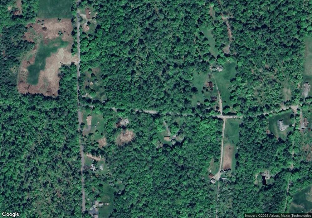
Map
Nearby Homes
- 000 S Village Rd Unit 13
- 43 Westmoreland Rd
- 36 Canal St
- 563 N Shore Rd
- 48 Church St
- 601 River Rd S
- 85 Foley Rd
- 14 Hurricane Rd
- 123 Poocham Rd
- 00 S Pine Banks Rd
- 821 Route 9
- 1123 River Rd
- 15 Stearns Rd
- Rt Highway 12
- 0 Stow Dr Unit 4929741
- 119 Main St
- 13 Kimball Hill
- 484 Old Swanzey Rd
- 136 Cross Rd
- 62 Westminster Rd