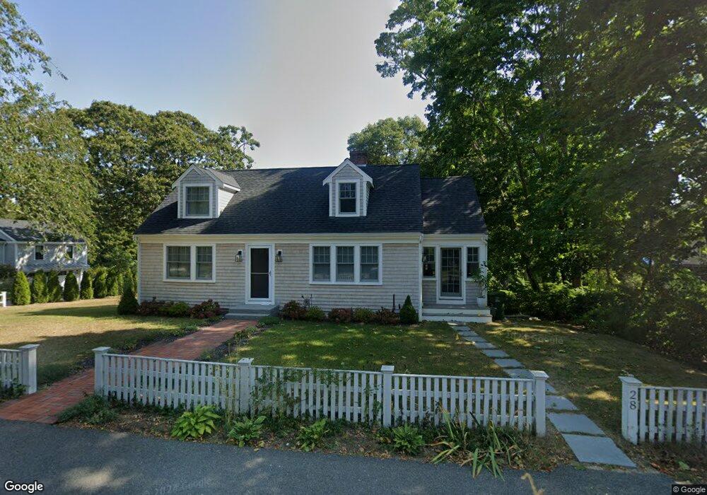
28 High St Cotuit, MA 02635
Cotuit NeighborhoodEstimated Value: $724,000 - $886,000
3
Beds
3
Baths
1,404
Sq Ft
$575/Sq Ft
Est. Value
About This Home
This home is located at 28 High St, Cotuit, MA 02635 and is currently estimated at $807,276, approximately $574 per square foot. 28 High St is a home located in Barnstable County with nearby schools including West Villages Elementary School, Barnstable United Elementary School, and Barnstable Intermediate School.
Ownership History
Date
Name
Owned For
Owner Type
Purchase Details
Closed on
Nov 15, 2022
Sold by
Pisani Anthony M and Pisani Emilia E
Bought by
Pisani Anthony M and Pisani Emilia E
Current Estimated Value
Purchase Details
Closed on
Jan 20, 2011
Sold by
Pisani Anthony M
Bought by
Pisani Anthony M
Purchase Details
Closed on
Jun 9, 1988
Sold by
Medeiros Michael T
Bought by
Pisani Anthony M
Home Financials for this Owner
Home Financials are based on the most recent Mortgage that was taken out on this home.
Original Mortgage
$128,000
Interest Rate
10.21%
Mortgage Type
Purchase Money Mortgage
Purchase Details
Closed on
May 13, 1987
Sold by
Guest Frances E
Bought by
Medeiros Michael T
Create a Home Valuation Report for This Property
The Home Valuation Report is an in-depth analysis detailing your home's value as well as a comparison with similar homes in the area
Home Values in the Area
Average Home Value in this Area
Purchase History
| Date | Buyer | Sale Price | Title Company |
|---|---|---|---|
| Pisani Anthony M | -- | None Available | |
| Pisani Anthony M | -- | None Available | |
| Pisani Anthony M | -- | -- | |
| Pisani Anthony M | -- | -- | |
| Pisani Anthony M | $160,000 | -- | |
| Medeiros Michael T | $120,000 | -- |
Source: Public Records
Mortgage History
| Date | Status | Borrower | Loan Amount |
|---|---|---|---|
| Previous Owner | Medeiros Michael T | $100,000 | |
| Previous Owner | Medeiros Michael T | $128,000 | |
| Closed | Medeiros Michael T | $0 |
Source: Public Records
Tax History
| Year | Tax Paid | Tax Assessment Tax Assessment Total Assessment is a certain percentage of the fair market value that is determined by local assessors to be the total taxable value of land and additions on the property. | Land | Improvement |
|---|---|---|---|---|
| 2025 | $5,419 | $649,000 | $345,700 | $303,300 |
| 2024 | $4,962 | $629,700 | $345,700 | $284,000 |
| 2023 | $4,832 | $577,300 | $321,500 | $255,800 |
| 2022 | $4,525 | $437,600 | $222,200 | $215,400 |
| 2021 | $4,750 | $430,200 | $243,400 | $186,800 |
| 2020 | $17,321 | $413,800 | $243,400 | $170,400 |
| 2019 | $4,849 | $408,200 | $254,000 | $154,200 |
| 2018 | $15,682 | $389,500 | $256,200 | $133,300 |
| 2017 | $13,906 | $383,500 | $256,200 | $127,300 |
| 2016 | $4,444 | $386,100 | $258,800 | $127,300 |
| 2015 | $4,569 | $396,600 | $253,700 | $142,900 |
Source: Public Records
Map
Nearby Homes
- 916 Main St
- 804 Main St
- 33 Oyster Place Rd
- 30 Wings Ln
- 1081 Main St
- 135 Putnam Avenue (Land)
- 239 Oxford Dr
- 188 Ocean View Ave
- 6 Cedar St
- 6 Cedar St
- 1412 Main St
- 440 Grand Island Dr
- 311 Waquoit Rd
- Lot 288 Seapuit River Rd A
- 640 Poponessett Rd
- 640 Poponessett Rd
- Lot 289 Seapuit River Road B
- 61 Shoestring Bay Rd
- 602 Putnam Ave
- 70 Simons Rd Unit E
- 18 High St
- 38 High St
- 0 Bay
- 36 Rayln Rd
- 140 Cap'N Samadrus Rd
- 23 High St
- 33 High St
- 40 School St
- 7 High St
- 0 Cedarwood Rd Unit 71941348
- 0 Cedarwood Rd Unit 72015706
- 0 Cedarwood Rd Unit 20612195
- 0 Cedarwood Rd Unit 20507940
- 0 Cedarwood Rd Unit 2039628
- 0 Cedarwood Rd Unit 21505027
- 0 Cedarwood Rd Unit 22101527
- 48 High St
- 31 High St
- 41 High St
- 865 Main St
Your Personal Tour Guide
Ask me questions while you tour the home.