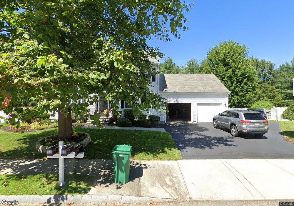
28 Jakes Way Mansfield, MA 02048
Estimated Value: $413,000 - $701,000
3
Beds
2
Baths
1,976
Sq Ft
$286/Sq Ft
Est. Value
About This Home
This home is located at 28 Jakes Way, Mansfield, MA 02048 and is currently estimated at $565,456, approximately $286 per square foot. 28 Jakes Way is a home located in Bristol County with nearby schools including Everett W. Robinson Elementary School, Jordan/Jackson Elementary School, and Harold L. Qualters Middle School.
Ownership History
Date
Name
Owned For
Owner Type
Purchase Details
Closed on
Jan 30, 2019
Sold by
Devito Jeanne M
Bought by
Jeanne M Devito T M and Jeanne Devito
Current Estimated Value
Home Financials for this Owner
Home Financials are based on the most recent Mortgage that was taken out on this home.
Original Mortgage
$334,000
Outstanding Balance
$292,461
Interest Rate
4.5%
Mortgage Type
New Conventional
Estimated Equity
$272,995
Purchase Details
Closed on
Aug 10, 2018
Sold by
Devito Jeanne M
Bought by
Jeanne M Devito T M and Jeanne Devito
Purchase Details
Closed on
Apr 7, 2005
Sold by
Bay Brook Village Llc
Bought by
Franzen Jeanne M
Home Financials for this Owner
Home Financials are based on the most recent Mortgage that was taken out on this home.
Original Mortgage
$130,900
Interest Rate
5.7%
Mortgage Type
Purchase Money Mortgage
Create a Home Valuation Report for This Property
The Home Valuation Report is an in-depth analysis detailing your home's value as well as a comparison with similar homes in the area
Home Values in the Area
Average Home Value in this Area
Purchase History
| Date | Buyer | Sale Price | Title Company |
|---|---|---|---|
| Jeanne M Devito T M | -- | -- | |
| Devito Jeanne M | -- | -- | |
| Jeanne M Devito T M | -- | -- | |
| Franzen Jeanne M | $170,000 | -- | |
| Franzen Jeanne M | $170,000 | -- |
Source: Public Records
Mortgage History
| Date | Status | Borrower | Loan Amount |
|---|---|---|---|
| Open | Jeanne M Devito T M | $334,000 | |
| Previous Owner | Franzen Jeanne M | $205,600 | |
| Previous Owner | Franzen Jeanne M | $130,900 |
Source: Public Records
Tax History Compared to Growth
Tax History
| Year | Tax Paid | Tax Assessment Tax Assessment Total Assessment is a certain percentage of the fair market value that is determined by local assessors to be the total taxable value of land and additions on the property. | Land | Improvement |
|---|---|---|---|---|
| 2025 | $2,239 | $170,000 | $129,400 | $40,600 |
| 2024 | $2,295 | $170,000 | $135,100 | $34,900 |
| 2023 | $2,395 | $170,000 | $135,100 | $34,900 |
| 2022 | $2,579 | $170,000 | $125,000 | $45,000 |
| 2021 | $2,611 | $170,000 | $104,200 | $65,800 |
| 2020 | $2,611 | $170,000 | $104,200 | $65,800 |
| 2019 | $2,587 | $170,000 | $86,800 | $83,200 |
| 2018 | $2,647 | $170,000 | $82,800 | $87,200 |
| 2017 | $2,553 | $170,000 | $80,400 | $89,600 |
| 2016 | $2,620 | $170,000 | $76,500 | $93,500 |
| 2015 | $2,635 | $170,000 | $76,500 | $93,500 |
Source: Public Records
Map
Nearby Homes
- 414 Branch St
- 28 Court St
- 442 Ware St
- 460 Ware St
- 82 Brook St
- 22 Pleasant St Unit C
- 150 Rumford Ave Unit 110
- 631 East St Unit E203
- 166 Chauncy St
- 28 Angell St
- 44 Angell St Unit 44
- 619 N Main St
- 277 Central St
- 6 Erick Rd Unit 73
- 212 Mill St
- 151 Stearns Ave
- 16 Erick Rd Unit 34
- 18 Columbine Rd
- 356 Central St
- 15 Reservoir St Unit 44