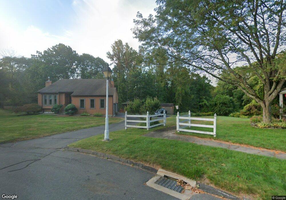
28 Landing Cir Windsor, CT 06095
West Windsor NeighborhoodEstimated Value: $448,000 - $476,365
3
Beds
2
Baths
2,059
Sq Ft
$225/Sq Ft
Est. Value
About This Home
This home is located at 28 Landing Cir, Windsor, CT 06095 and is currently estimated at $463,591, approximately $225 per square foot. 28 Landing Cir is a home located in Hartford County with nearby schools including Poquonock Elementary School, Clover Street School, and Sage Park Middle School.
Ownership History
Date
Name
Owned For
Owner Type
Purchase Details
Closed on
Jun 22, 2006
Sold by
Lord William and Lord Kathleen
Bought by
Arango-Jones Regina and Jones Bradford
Current Estimated Value
Home Financials for this Owner
Home Financials are based on the most recent Mortgage that was taken out on this home.
Original Mortgage
$249,600
Interest Rate
6.59%
Mortgage Type
Purchase Money Mortgage
Purchase Details
Closed on
Feb 16, 1988
Sold by
Ford Charles
Bought by
Forfd William
Create a Home Valuation Report for This Property
The Home Valuation Report is an in-depth analysis detailing your home's value as well as a comparison with similar homes in the area
Home Values in the Area
Average Home Value in this Area
Purchase History
| Date | Buyer | Sale Price | Title Company |
|---|---|---|---|
| Arango-Jones Regina | $312,000 | -- | |
| Forfd William | $215,000 | -- |
Source: Public Records
Mortgage History
| Date | Status | Borrower | Loan Amount |
|---|---|---|---|
| Open | Forfd William | $230,300 | |
| Closed | Forfd William | $249,600 | |
| Previous Owner | Forfd William | $45,000 | |
| Previous Owner | Forfd William | $140,000 |
Source: Public Records
Tax History Compared to Growth
Tax History
| Year | Tax Paid | Tax Assessment Tax Assessment Total Assessment is a certain percentage of the fair market value that is determined by local assessors to be the total taxable value of land and additions on the property. | Land | Improvement |
|---|---|---|---|---|
| 2024 | $8,071 | $266,210 | $64,960 | $201,250 |
| 2023 | $5,795 | $172,480 | $50,960 | $121,520 |
| 2022 | $5,738 | $172,480 | $50,960 | $121,520 |
| 2021 | $5,738 | $172,480 | $50,960 | $121,520 |
| 2020 | $5,711 | $172,480 | $50,960 | $121,520 |
| 2019 | $5,585 | $172,480 | $50,960 | $121,520 |
| 2018 | $5,572 | $169,050 | $50,960 | $118,090 |
| 2017 | $5,486 | $169,050 | $50,960 | $118,090 |
| 2016 | $5,328 | $169,050 | $50,960 | $118,090 |
| 2015 | $5,227 | $169,050 | $50,960 | $118,090 |
| 2014 | $5,151 | $169,050 | $50,960 | $118,090 |
Source: Public Records
Map
Nearby Homes
- 41 Chestnut Dr
- 999 Stone Rd
- 158 Winterwood
- 552 Stone Rd
- 39 Loren Cir
- 36 High St
- 49 Seymour Rd
- 81 Harvest Ln
- 16 Seymour Rd Unit 16C
- 16 Seymour Rd Unit 2A
- 16 Hilltop Rd
- 35 Niles Rd
- 20 Sweetbriar Rd
- 4 Pond Ln
- 348 Prospect Hill Rd
- 57 S Main St
- 26 Lighthouse Hill Rd
- 10 Russell Rd
- 10 Cleary Ln
- 190 Prospect Hill Rd