28 Matthew Ln Mansfield, MA 02048
Estimated Value: $746,170 - $824,000
3
Beds
3
Baths
1,890
Sq Ft
$412/Sq Ft
Est. Value
About This Home
This home is located at 28 Matthew Ln, Mansfield, MA 02048 and is currently estimated at $778,293, approximately $411 per square foot. 28 Matthew Ln is a home located in Bristol County with nearby schools including Jordan/Jackson Elementary School, Everett W. Robinson Elementary School, and Harold L. Qualters Middle School.
Ownership History
Date
Name
Owned For
Owner Type
Purchase Details
Closed on
Aug 1, 1991
Sold by
East Coast Dev Ltd
Bought by
Wright Kenneth and Jean Wright
Current Estimated Value
Home Financials for this Owner
Home Financials are based on the most recent Mortgage that was taken out on this home.
Original Mortgage
$135,000
Interest Rate
9.58%
Mortgage Type
Purchase Money Mortgage
Create a Home Valuation Report for This Property
The Home Valuation Report is an in-depth analysis detailing your home's value as well as a comparison with similar homes in the area
Home Values in the Area
Average Home Value in this Area
Purchase History
| Date | Buyer | Sale Price | Title Company |
|---|---|---|---|
| Wright Kenneth | $174,100 | -- |
Source: Public Records
Mortgage History
| Date | Status | Borrower | Loan Amount |
|---|---|---|---|
| Open | Wright Kenneth | $50,000 | |
| Open | Wright Kenneth | $126,000 | |
| Closed | Wright Kenneth | $133,900 | |
| Closed | Wright Kenneth | $135,000 |
Source: Public Records
Tax History
| Year | Tax Paid | Tax Assessment Tax Assessment Total Assessment is a certain percentage of the fair market value that is determined by local assessors to be the total taxable value of land and additions on the property. | Land | Improvement |
|---|---|---|---|---|
| 2025 | $8,439 | $640,800 | $297,800 | $343,000 |
| 2024 | $8,427 | $624,200 | $310,500 | $313,700 |
| 2023 | $8,234 | $584,400 | $310,500 | $273,900 |
| 2022 | $7,963 | $524,900 | $288,000 | $236,900 |
| 2021 | $7,553 | $491,700 | $239,900 | $251,800 |
| 2020 | $5,480 | $485,000 | $239,900 | $245,100 |
| 2019 | $6,951 | $456,700 | $200,700 | $256,000 |
| 2018 | $5,292 | $443,200 | $191,800 | $251,400 |
| 2017 | $6,475 | $431,100 | $186,600 | $244,500 |
| 2016 | $6,223 | $403,800 | $177,700 | $226,100 |
| 2015 | $6,081 | $392,300 | $177,700 | $214,600 |
Source: Public Records
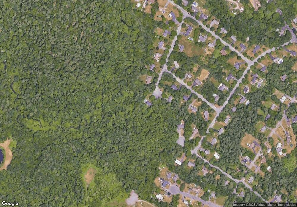
Map
Nearby Homes
- 212 Mill St
- 14 Windchime Dr
- 1 Deer Path Ln
- 7 Fieldstone Dr
- 631 East St Unit L101
- 0 Kensington Rd
- 4 Erick Rd Unit 90
- 157 Highland St
- 19 Barberry Rd
- 15 Coach Rd
- 97 East St
- 46 Hope St
- 16 Holly Rd
- 122 Samoset Ave
- 34 Kevins Way
- 44 Fairfield Park Unit 44
- 1 Wilbur Terrace Unit 6
- 0 Cobb St
- 28 Court St
- 21 Juniper Rd
- 23 Matthew Ln
- 24 Matthew Ln
- 14 Elizabeth Rd
- 10 Elizabeth Rd
- 19 Matthew Ln
- 15 Jonathan Rd
- 6 Elizabeth Rd
- 14 Matthew Ln
- 15 Matthew Ln
- 15 Elizabeth Rd
- 35 Sandy Hill Rd
- 31 Sandy Hill Rd
- 11 Elizabeth Rd
- 11 Matthew Ln
- 12 Jonathan Rd
- 10 Matthew Ln
- 23 Sandy Hill Rd
- Lot 4 Pearl Estates
- 7 Matthew Ln
- 19 Sandy Hill Rd
Your Personal Tour Guide
Ask me questions while you tour the home.