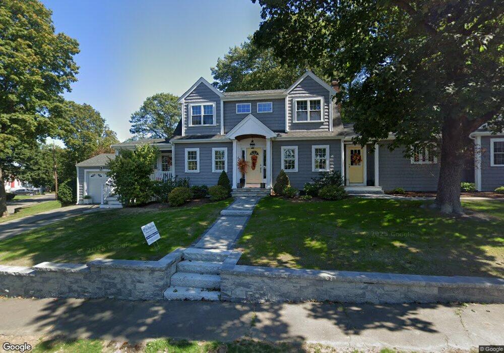
28 Parkside Cir Braintree, MA 02184
North Braintree NeighborhoodEstimated Value: $681,000 - $864,000
3
Beds
2
Baths
1,642
Sq Ft
$480/Sq Ft
Est. Value
About This Home
This home is located at 28 Parkside Cir, Braintree, MA 02184 and is currently estimated at $788,314, approximately $480 per square foot. 28 Parkside Cir is a home located in Norfolk County with nearby schools including Braintree High School, Meeting House Montessori School, and South Shore SDA School.
Ownership History
Date
Name
Owned For
Owner Type
Purchase Details
Closed on
May 29, 1992
Sold by
Rowell Michael E and Rowell Sharon A
Bought by
Preziosi Mark J and Preziosi Suzanne T
Current Estimated Value
Purchase Details
Closed on
Sep 29, 1989
Sold by
Zaleskas Stanley W
Bought by
Rowell Michael F
Create a Home Valuation Report for This Property
The Home Valuation Report is an in-depth analysis detailing your home's value as well as a comparison with similar homes in the area
Home Values in the Area
Average Home Value in this Area
Purchase History
| Date | Buyer | Sale Price | Title Company |
|---|---|---|---|
| Preziosi Mark J | $180,000 | -- | |
| Preziosi Mark J | $180,000 | -- | |
| Rowell Michael F | $185,000 | -- | |
| Rowell Michael F | $185,000 | -- |
Source: Public Records
Mortgage History
| Date | Status | Borrower | Loan Amount |
|---|---|---|---|
| Open | Rowell Michael F | $320,000 | |
| Closed | Rowell Michael F | $157,000 | |
| Closed | Rowell Michael F | $164,600 |
Source: Public Records
Tax History Compared to Growth
Tax History
| Year | Tax Paid | Tax Assessment Tax Assessment Total Assessment is a certain percentage of the fair market value that is determined by local assessors to be the total taxable value of land and additions on the property. | Land | Improvement |
|---|---|---|---|---|
| 2025 | $7,819 | $783,500 | $411,000 | $372,500 |
| 2024 | $6,942 | $732,300 | $367,000 | $365,300 |
| 2023 | $6,624 | $678,700 | $332,700 | $346,000 |
| 2022 | $6,364 | $639,600 | $293,600 | $346,000 |
| 2021 | $6,077 | $610,800 | $293,600 | $317,200 |
| 2020 | $5,334 | $541,000 | $258,300 | $282,700 |
| 2019 | $5,134 | $508,800 | $258,300 | $250,500 |
| 2018 | $5,013 | $475,600 | $234,900 | $240,700 |
| 2017 | $5,003 | $465,800 | $234,900 | $230,900 |
| 2016 | $4,783 | $435,600 | $211,400 | $224,200 |
| 2015 | $4,732 | $427,500 | $211,400 | $216,100 |
| 2014 | $4,281 | $374,900 | $175,200 | $199,700 |
Source: Public Records
Map
Nearby Homes
- 78 Windemere Cir
- 17 Judson St
- 175 West St
- 53 Parkside Ave
- 10 Cochato Rd
- 63 Dickerman Ln
- 37 Monatiquot Ave
- 29 Norton St
- 491 Washington St Unit 1
- 305 Franklin St
- 47 Addison St
- 8 Vinton Ave Unit 10
- 146 Eleanor Dr
- 161 Cedar St
- 9 Independence Ave Unit 105
- 65 Tremont St
- 195 Independence Ave Unit 137
- 347 Centre St
- 21 Totman St Unit 204
- 21 Totman St Unit 309
- 16 Parkside Cir
- 44 Parkside Cir
- 58 Parkside Cir
- 10 Parkside Cir
- 31 Parkside Cir
- 29 Parkside Cir
- 62 Parkside Cir
- 27 Parkside Cir
- 21 Parkside Cir
- 21 Parkside Cir Unit 21
- 37 Parkside Cir
- 15 Parkside Cir
- 165 Parkside Ave
- 157 Parkside Ave
- 66 Parkside Cir
- 53 Parkside Cir
- 43 Parkside Cir
- 7 Parkside Cir
- 59 Parkside Cir
- 49 Parkside Cir