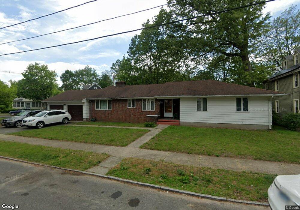
28 Perkins St Springfield, MA 01118
East Forest Park NeighborhoodEstimated Value: $313,652 - $358,000
3
Beds
1
Bath
1,776
Sq Ft
$191/Sq Ft
Est. Value
About This Home
This home is located at 28 Perkins St, Springfield, MA 01118 and is currently estimated at $339,413, approximately $191 per square foot. 28 Perkins St is a home located in Hampden County with nearby schools including Mary A. Dryden Veterans Memorial School, M Marcus Kiley Middle, and Springfield High School of Science and Technology.
Ownership History
Date
Name
Owned For
Owner Type
Purchase Details
Closed on
Sep 27, 1994
Sold by
Saltzman Betty and Herd Normie C
Bought by
Clark Dennis A
Current Estimated Value
Home Financials for this Owner
Home Financials are based on the most recent Mortgage that was taken out on this home.
Original Mortgage
$86,000
Interest Rate
8.56%
Mortgage Type
Purchase Money Mortgage
Create a Home Valuation Report for This Property
The Home Valuation Report is an in-depth analysis detailing your home's value as well as a comparison with similar homes in the area
Home Values in the Area
Average Home Value in this Area
Purchase History
| Date | Buyer | Sale Price | Title Company |
|---|---|---|---|
| Clark Dennis A | $99,900 | -- |
Source: Public Records
Mortgage History
| Date | Status | Borrower | Loan Amount |
|---|---|---|---|
| Open | Clark Dennis A | $30,160 | |
| Closed | Clark Dennis A | $86,000 |
Source: Public Records
Tax History
| Year | Tax Paid | Tax Assessment Tax Assessment Total Assessment is a certain percentage of the fair market value that is determined by local assessors to be the total taxable value of land and additions on the property. | Land | Improvement |
|---|---|---|---|---|
| 2025 | $4,326 | $275,900 | $39,800 | $236,100 |
| 2024 | $4,535 | $282,400 | $39,800 | $242,600 |
| 2023 | $4,614 | $270,600 | $41,300 | $229,300 |
| 2022 | $4,568 | $242,700 | $41,300 | $201,400 |
| 2021 | $3,697 | $195,600 | $37,600 | $158,000 |
| 2020 | $3,627 | $185,700 | $37,600 | $148,100 |
| 2019 | $3,720 | $189,000 | $37,600 | $151,400 |
| 2018 | $3,529 | $179,300 | $37,600 | $141,700 |
| 2017 | $3,366 | $171,200 | $37,600 | $133,600 |
| 2016 | $3,171 | $161,300 | $37,600 | $123,700 |
| 2015 | $3,253 | $165,400 | $37,600 | $127,800 |
Source: Public Records
Map
Nearby Homes
- 854-856 Sumner Ave
- 59 Daviston St
- 34 Castle St
- 77 Dorset St
- 46 Eckington St
- 70-72 E Alvord St
- 13 Bither St
- 134 Eddywood St
- 1088 Sumner Ave
- 410 Allen St
- 88 Brunswick St
- 55 Mandalay Rd
- 161 Dorset St
- 79 Roosevelt Ave
- 170 Plumtree Rd
- 79 Arvilla St
- 914-916 Belmont Ave
- 49-51 Mansfield St
- 52 Herman St
- 118 Pilgrim Rd
- 42 Perkins St
- 14 Wayne St Unit 2
- 35 Wayne St
- 29 Perkins St
- 35 Perkins St
- 12 Wayne St Unit 14
- 12-14 Wayne St
- 18 Wayne St Unit 20
- 18-20 Wayne St
- 23 Perkins St
- 39 Perkins St
- 8 Wayne St Unit 10
- 24 Wayne St Unit 26
- 19 Perkins St
- 1 Palmyra St Unit 1 1-3
- 1 Palmyra St
- 52 Perkins St
- 45 Perkins St
- 30 Wayne St Unit 32
- 11 Perkins St
Your Personal Tour Guide
Ask me questions while you tour the home.