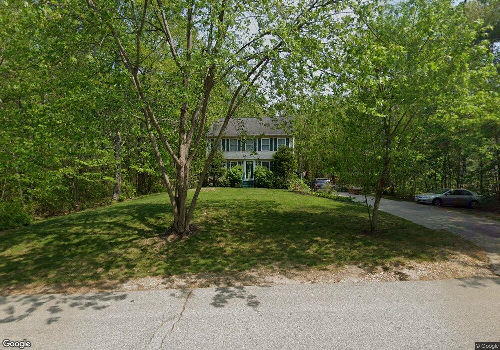
28 Rouleau Dr Somersworth, NH 03878
Estimated Value: $564,286 - $591,000
3
Beds
3
Baths
1,836
Sq Ft
$314/Sq Ft
Est. Value
About This Home
This home is located at 28 Rouleau Dr, Somersworth, NH 03878 and is currently estimated at $576,572, approximately $314 per square foot. 28 Rouleau Dr is a home with nearby schools including Maple Wood Elementary School, Somersworth High School, and Tri-City Christian Academy.
Ownership History
Date
Name
Owned For
Owner Type
Purchase Details
Closed on
Mar 29, 1999
Sold by
Francoeur Jeffrey F
Bought by
Andrews John R and Andrews Jennifer C
Current Estimated Value
Home Financials for this Owner
Home Financials are based on the most recent Mortgage that was taken out on this home.
Original Mortgage
$116,000
Outstanding Balance
$28,739
Interest Rate
6.78%
Estimated Equity
$547,833
Create a Home Valuation Report for This Property
The Home Valuation Report is an in-depth analysis detailing your home's value as well as a comparison with similar homes in the area
Home Values in the Area
Average Home Value in this Area
Purchase History
| Date | Buyer | Sale Price | Title Company |
|---|---|---|---|
| Andrews John R | $145,000 | -- |
Source: Public Records
Mortgage History
| Date | Status | Borrower | Loan Amount |
|---|---|---|---|
| Open | Andrews John R | $116,000 |
Source: Public Records
Tax History Compared to Growth
Tax History
| Year | Tax Paid | Tax Assessment Tax Assessment Total Assessment is a certain percentage of the fair market value that is determined by local assessors to be the total taxable value of land and additions on the property. | Land | Improvement |
|---|---|---|---|---|
| 2024 | $9,655 | $516,300 | $161,700 | $354,600 |
| 2023 | $8,195 | $279,700 | $61,100 | $218,600 |
| 2022 | $7,857 | $279,700 | $61,100 | $218,600 |
| 2021 | $7,700 | $279,700 | $61,100 | $218,600 |
| 2020 | $7,790 | $279,700 | $61,100 | $218,600 |
| 2019 | $7,630 | $279,700 | $61,100 | $218,600 |
| 2018 | $7,938 | $237,600 | $69,400 | $168,200 |
| 2017 | $7,862 | $237,600 | $69,400 | $168,200 |
| 2016 | $7,632 | $237,600 | $69,400 | $168,200 |
| 2015 | $7,663 | $237,600 | $69,400 | $168,200 |
| 2014 | $7,399 | $237,600 | $69,400 | $168,200 |
Source: Public Records
Map
Nearby Homes
- 163 Rochester St
- 43 Otis Rd
- 395 Route 108
- 58 Knox Ln
- 159 W High St
- 32 Pine Hill M H Park
- 35 Rochester St
- 20 Lil Nor Ave
- 61 Pine Hill Mhp Rd
- 39 Pine Hill Rd
- 61 Sullivan Farm Dr
- 91 Sullivan St
- 44 Logan St
- 1 Bridge St
- 11 Linden St
- 18 Grand St
- 23 Mount Vernon St
- 24-26 Highland St
- 25 High St
- 101 School St
- 30 Rouleau Dr
- 35 Rouleau Dr
- 32 Rouleau Dr
- 26 Rouleau Dr
- 39 Rouleau Dr
- 33 Rouleau Dr
- 22 Rouleau Dr
- 20 Rouleau Dr
- 113 Rocky Hill Rd
- 111 Rocky Hill Rd
- 29 Rouleau Dr
- 27 Rouleau Dr
- 115 Rocky Hill Rd
- 117 Rocky Hill Rd
- 25 Rouleau Dr
- 109 Rocky Hill Rd
- 18 Rouleau Dr
- 119 Rocky Hill Rd
- 23 Rouleau Dr
- 112 Rocky Hill Rd