Estimated Value: $616,000 - $729,000
1
Bed
1
Bath
1,845
Sq Ft
$376/Sq Ft
Est. Value
About This Home
This home is located at 28 Waxwing Ln, Twisp, WA 98856 and is currently estimated at $693,461, approximately $375 per square foot. 28 Waxwing Ln is a home located in Okanogan County with nearby schools including Methow Valley Elementary School, Liberty Bell Junior/Senior High School, and Methow Valley Independent Learning Center.
Ownership History
Date
Name
Owned For
Owner Type
Purchase Details
Closed on
Dec 11, 2018
Sold by
Reynaud Barbara L
Bought by
Reynaud Gordon Richard and Chavey Adrian Rose
Current Estimated Value
Home Financials for this Owner
Home Financials are based on the most recent Mortgage that was taken out on this home.
Original Mortgage
$100,000
Outstanding Balance
$88,102
Interest Rate
4.8%
Mortgage Type
Purchase Money Mortgage
Estimated Equity
$605,359
Create a Home Valuation Report for This Property
The Home Valuation Report is an in-depth analysis detailing your home's value as well as a comparison with similar homes in the area
Home Values in the Area
Average Home Value in this Area
Purchase History
| Date | Buyer | Sale Price | Title Company |
|---|---|---|---|
| Reynaud Gordon Richard | $395,000 | Inland Professional Title Ll |
Source: Public Records
Mortgage History
| Date | Status | Borrower | Loan Amount |
|---|---|---|---|
| Open | Reynaud Gordon Richard | $100,000 |
Source: Public Records
Tax History Compared to Growth
Tax History
| Year | Tax Paid | Tax Assessment Tax Assessment Total Assessment is a certain percentage of the fair market value that is determined by local assessors to be the total taxable value of land and additions on the property. | Land | Improvement |
|---|---|---|---|---|
| 2025 | $4,765 | $636,800 | $253,100 | $383,700 |
| 2024 | $4,765 | $600,300 | $256,300 | $344,000 |
| 2022 | $4,542 | $420,700 | $193,500 | $227,200 |
| 2021 | $4,820 | $420,700 | $193,500 | $227,200 |
| 2020 | $4,156 | $420,700 | $193,500 | $227,200 |
| 2019 | $3,966 | $368,300 | $193,500 | $174,800 |
| 2018 | $4,163 | $368,300 | $193,500 | $174,800 |
| 2017 | $3,781 | $368,300 | $193,500 | $174,800 |
| 2016 | $4,255 | $420,000 | $250,700 | $169,300 |
| 2015 | $3,938 | $420,000 | $250,700 | $169,300 |
| 2013 | -- | $420,000 | $250,700 | $169,300 |
Source: Public Records
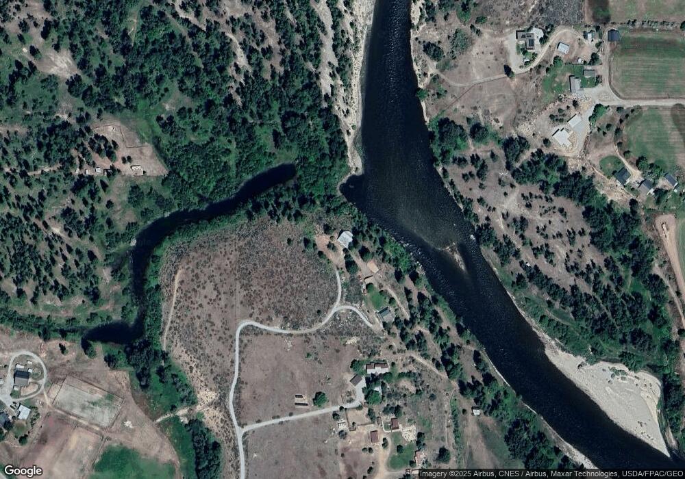
Map
Nearby Homes
- 2992 Washington 153
- 48 Thurlow Rd
- 803 C Twisp Carlton
- 121 Finley Canyon Rd
- 1221 Riverside Ave
- 1110 Riverside Ave
- 0 Lot 2 Amended Surface Short Plat
- 96 Alder Creek Rd
- 54B Ross Rd Unit B
- 803 D Twisp Carlton Rd
- 318 Lombard St
- 303 E 2nd Ave
- 245 Twisp Carlton Rd
- 136 Johnson St
- 3A Ross Rd
- 115 Johnson St N Unit 1,2,3
- 140 Twisp Ave W Unit 204
- 0 Isabella Ln Unit NWM2400755
- 0 Isabella Ln Unit NWM2400767
- 799 Twisp River Rd
- 26 Waxwing Ln
- 10 Waxwing Ln
- 640 Twisp Carlton Rd
- 2907 State Route 153
- 13 Osprey Ln
- 22 Osprey Ln
- 13 Osprey Dr
- 0 Osprey Ln Unit 776682
- 630 Twisp Carlton Rd Unit 2
- 630 Twisp Carlton Rd
- 630 Twisp Carlton Rd
- 13 Iris Ln
- 664 Twisp Carlton Rd
- 9 No Go Around Ln Unit GO
- 9 Osprey Ln
- 2887 State Route 153
- 17 Iris Ln
- 2911 State Route 153
- 9 Iris Ln
- 10 Surface Ln