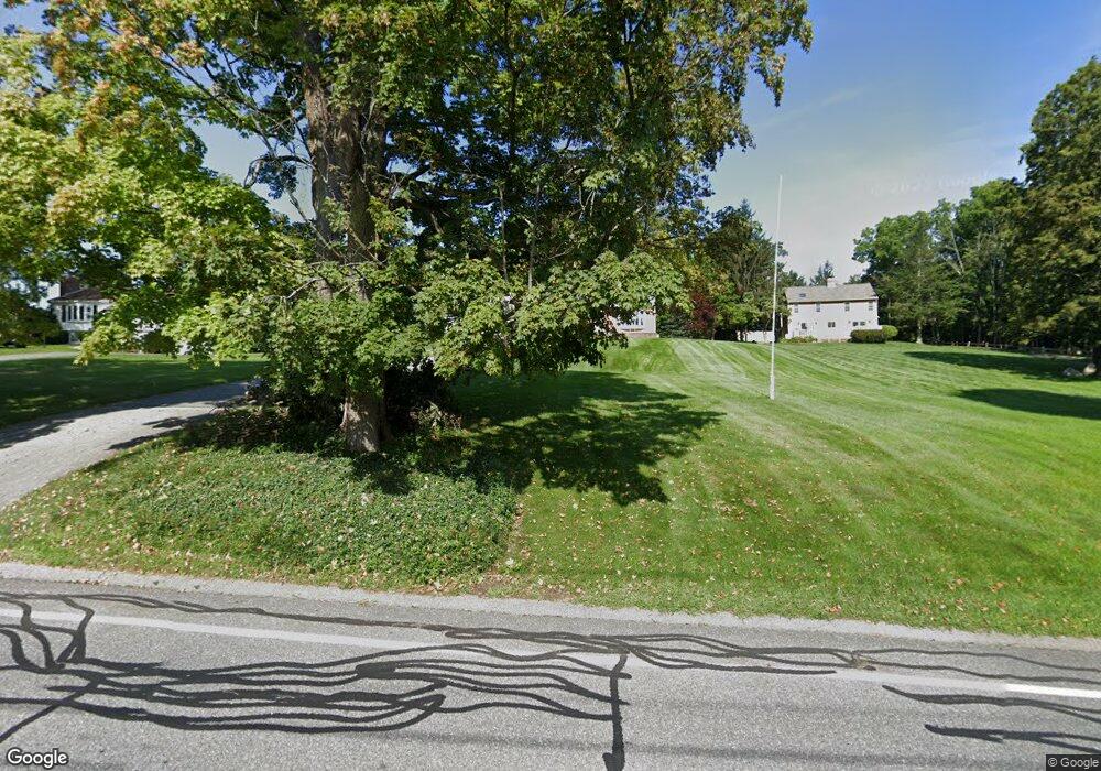
280 Maple St West Boylston, MA 01583
Estimated Value: $677,292 - $921,000
4
Beds
3
Baths
2,908
Sq Ft
$265/Sq Ft
Est. Value
About This Home
This home is located at 280 Maple St, West Boylston, MA 01583 and is currently estimated at $769,823, approximately $264 per square foot. 280 Maple St is a home located in Worcester County with nearby schools including Major Edwards Elementary School, West Boylston Junior/Senior High School, and Abby Kelley Foster Charter Public School.
Ownership History
Date
Name
Owned For
Owner Type
Purchase Details
Closed on
Jun 13, 1985
Bought by
Hutchins Junea M
Current Estimated Value
Create a Home Valuation Report for This Property
The Home Valuation Report is an in-depth analysis detailing your home's value as well as a comparison with similar homes in the area
Home Values in the Area
Average Home Value in this Area
Purchase History
| Date | Buyer | Sale Price | Title Company |
|---|---|---|---|
| Hutchins Junea M | $120,900 | -- |
Source: Public Records
Mortgage History
| Date | Status | Borrower | Loan Amount |
|---|---|---|---|
| Open | Hutchins Junea M | $125,000 | |
| Closed | Hutchins Junea M | $45,000 |
Source: Public Records
Tax History Compared to Growth
Tax History
| Year | Tax Paid | Tax Assessment Tax Assessment Total Assessment is a certain percentage of the fair market value that is determined by local assessors to be the total taxable value of land and additions on the property. | Land | Improvement |
|---|---|---|---|---|
| 2025 | $82 | $588,100 | $119,100 | $469,000 |
| 2024 | $7,694 | $520,600 | $119,100 | $401,500 |
| 2023 | $7,616 | $488,800 | $117,400 | $371,400 |
| 2022 | $7,330 | $414,600 | $117,400 | $297,200 |
| 2021 | $7,246 | $392,500 | $106,600 | $285,900 |
| 2020 | $6,834 | $367,800 | $106,600 | $261,200 |
| 2019 | $6,601 | $350,200 | $106,600 | $243,600 |
| 2018 | $6,296 | $336,300 | $106,600 | $229,700 |
| 2017 | $6,236 | $331,700 | $106,600 | $225,100 |
| 2016 | $6,186 | $335,300 | $99,200 | $236,100 |
| 2015 | $6,089 | $332,000 | $98,200 | $233,800 |
Source: Public Records
Map
Nearby Homes
- 1 Highland Ave
- 12 Birchbrush Ln
- 740 Burncoat St Unit B
- 156 Hillside Village Dr
- 39 Davidson Rd
- 33 Meola Ave
- 39 Meola Ave
- 1110 W Boylston St Unit A
- 33 Isleboro St
- 83 Hillside Village Dr
- 29 Isleboro St
- 1097 W Boylston St
- 97 Hillside Village Dr
- 59 Santoro Rd
- 44 Dixfield St
- 22 Danielles Way
- 26 Danielles Way
- 31 Danielles Way
- 62 Maple St
- 12 Dixfield Rd
- 284 Maple St
- 276 Maple St
- 44 Maplewood Ave
- 26 Evergreen Ave
- 23 Evergreen Ave
- 290 Maple St
- 287 Maple St
- 277 Maple St
- 40 Maplewood Ave
- 262 Maple St
- 22 Evergreen Ave
- 258 Maple St
- 23 Harvard Ave
- 17 Peach Tree St
- 7 Longview St
- 15 Longview St Unit 2
- 15 Longview St
- 291 Maple St
- 1 Longview St
- 41 Maplewood Ave