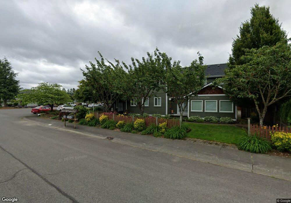
280 Michael Ave Enumclaw, WA 98022
Estimated Value: $614,000 - $850,000
4
Beds
4
Baths
3,200
Sq Ft
$237/Sq Ft
Est. Value
About This Home
This home is located at 280 Michael Ave, Enumclaw, WA 98022 and is currently estimated at $757,248, approximately $236 per square foot. 280 Michael Ave is a home located in King County with nearby schools including Byron Kibler Elementary School, Enumclaw Middle School, and Enumclaw Senior High School.
Ownership History
Date
Name
Owned For
Owner Type
Purchase Details
Closed on
Feb 12, 1992
Sold by
Capstone Homes Inc
Bought by
Adams Paul G and Adams Jennifer K
Current Estimated Value
Create a Home Valuation Report for This Property
The Home Valuation Report is an in-depth analysis detailing your home's value as well as a comparison with similar homes in the area
Home Values in the Area
Average Home Value in this Area
Purchase History
| Date | Buyer | Sale Price | Title Company |
|---|---|---|---|
| Adams Paul G | $117,800 | -- |
Source: Public Records
Tax History
| Year | Tax Paid | Tax Assessment Tax Assessment Total Assessment is a certain percentage of the fair market value that is determined by local assessors to be the total taxable value of land and additions on the property. | Land | Improvement |
|---|---|---|---|---|
| 2024 | $6,900 | $719,000 | $200,000 | $519,000 |
| 2023 | $5,929 | $569,000 | $172,000 | $397,000 |
| 2022 | $5,307 | $649,000 | $197,000 | $452,000 |
| 2021 | $5,502 | $526,000 | $170,000 | $356,000 |
| 2020 | $4,723 | $497,000 | $115,000 | $382,000 |
| 2018 | $4,703 | $422,000 | $105,000 | $317,000 |
| 2017 | $4,176 | $382,000 | $96,000 | $286,000 |
| 2016 | $3,988 | $350,000 | $89,000 | $261,000 |
| 2015 | $3,950 | $329,000 | $85,000 | $244,000 |
| 2014 | -- | $312,000 | $86,000 | $226,000 |
| 2013 | -- | $240,000 | $69,000 | $171,000 |
Source: Public Records
Map
Nearby Homes
- 111 Chinook Ave
- 27008 SE & 27012 432nd St
- 1355 Mchugh Ave
- 0 xx 266th Ave SE
- 2921 Frederickson St
- 1730 Hillcrest Ave
- 42801 264th Ave SE
- 1966 Wilson Ave
- 1975 Wilson Ave
- 1705 Marshall Ave
- 1107 Griffin Ave
- 431 Rainier Ave
- 42102 264th Ave SE
- 1722 Harding St
- 1318 Lafromboise St
- 1720 Garfield St Unit 4
- 1624 Lockridge Loop E
- 1234 Lincoln Ave Unit A
- 1234 Lincoln Ave Unit B
- 1595 Lockridge Loop E
- 270 Michael Ave
- 310 Michael Ave
- 320 Michael Ave
- 250 Michael Ave
- 275 Michael Ave
- 299 Michael Ave
- 255 Michael Ave
- 277 Chinook Ave
- 210 Michael Ave
- 315 Michael Ave
- 350 Michael Ave
- 204 Michael Ave
- 213 Michael Ave
- 247 Chinook Ave
- 319 Chinook Ave
- 355 Michael Ave
- 217 Chinook Ave
- 199 Michael Ave
- 370 Michael Ave
- 355 Chinook Ave
Your Personal Tour Guide
Ask me questions while you tour the home.