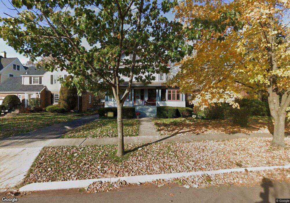
280 Shenstone Rd Riverside, IL 60546
Estimated Value: $732,000 - $831,000
5
Beds
2
Baths
3,150
Sq Ft
$247/Sq Ft
Est. Value
About This Home
This home is located at 280 Shenstone Rd, Riverside, IL 60546 and is currently estimated at $778,445, approximately $247 per square foot. 280 Shenstone Rd is a home located in Cook County with nearby schools including Central Elementary School, L J Hauser Jr High School, and Riverside Brookfield High School.
Ownership History
Date
Name
Owned For
Owner Type
Purchase Details
Closed on
Nov 30, 2023
Sold by
Suriano William and Suriano Dawneen
Bought by
Novak Steven and Hansen Emily
Current Estimated Value
Home Financials for this Owner
Home Financials are based on the most recent Mortgage that was taken out on this home.
Original Mortgage
$512,000
Outstanding Balance
$501,517
Interest Rate
7.38%
Mortgage Type
New Conventional
Estimated Equity
$276,928
Create a Home Valuation Report for This Property
The Home Valuation Report is an in-depth analysis detailing your home's value as well as a comparison with similar homes in the area
Home Values in the Area
Average Home Value in this Area
Purchase History
| Date | Buyer | Sale Price | Title Company |
|---|---|---|---|
| Novak Steven | $640,000 | None Listed On Document |
Source: Public Records
Mortgage History
| Date | Status | Borrower | Loan Amount |
|---|---|---|---|
| Open | Novak Steven | $512,000 |
Source: Public Records
Tax History
| Year | Tax Paid | Tax Assessment Tax Assessment Total Assessment is a certain percentage of the fair market value that is determined by local assessors to be the total taxable value of land and additions on the property. | Land | Improvement |
|---|---|---|---|---|
| 2025 | $18,549 | $63,951 | $11,913 | $52,038 |
| 2024 | $18,549 | $63,951 | $11,913 | $52,038 |
| 2023 | $15,880 | $63,951 | $11,913 | $52,038 |
| 2022 | $15,880 | $48,390 | $10,289 | $38,101 |
| 2021 | $15,318 | $47,615 | $10,288 | $37,327 |
| 2020 | $14,963 | $47,615 | $10,288 | $37,327 |
| 2019 | $15,390 | $49,900 | $9,476 | $40,424 |
| 2018 | $14,935 | $49,900 | $9,476 | $40,424 |
| 2017 | $16,347 | $52,828 | $9,476 | $43,352 |
| 2016 | $14,904 | $44,818 | $8,122 | $36,696 |
| 2015 | $14,519 | $44,818 | $8,122 | $36,696 |
| 2014 | $14,763 | $46,218 | $8,122 | $38,096 |
| 2013 | $14,861 | $50,264 | $7,581 | $42,683 |
Source: Public Records
Map
Nearby Homes
- 269 Shenstone Rd
- 369 Addison Rd
- 231 Bartram Rd
- 475 Shenstone Rd Unit 104
- 475 Shenstone Rd Unit 304
- 475 Shenstone Rd Unit 303
- 484 Shenstone Rd
- 478 Kent Rd
- 315 Bartram Rd
- 10 E Burlington St Unit 2C
- 10 E Burlington St Unit 2B
- 101 Southcote Rd
- 410 Repton Rd
- 305 Desplaines Ave
- 280 Blackhawk Rd
- 367 Bartram Rd
- 562 Byrd Rd
- 176 Riverside Rd
- 3111 Wenonah Ave
- 571 Byrd Rd
- 284 Shenstone Rd
- 276 Shenstone Rd
- 288 Shenstone Rd
- 272 Shenstone Rd
- 292 Shenstone Rd
- 268 Shenstone Rd
- 294 Shenstone Rd
- 264 Shenstone Rd
- 177 N Delaplaine Rd
- 181 N Delaplaine Rd
- 173 N Delaplaine Rd
- 185 N Delaplaine Rd
- 298 Shenstone Rd
- 260 Shenstone Rd
- 171 N Delaplaine Rd
- 189 N Delaplaine Rd
- 281 Shenstone Rd
- 277 Shenstone Rd
- 285 Shenstone Rd
- 273 Shenstone Rd
Your Personal Tour Guide
Ask me questions while you tour the home.