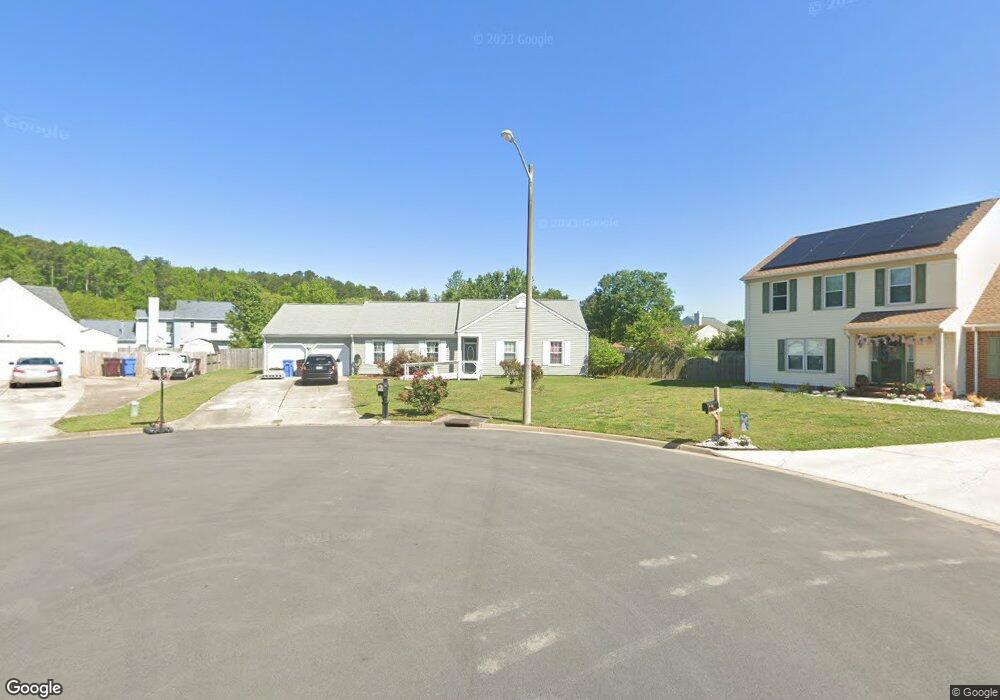
2800 Gunston Bridge Ct Chesapeake, VA 23323
Deep Creek NeighborhoodEstimated Value: $402,588 - $432,000
3
Beds
2
Baths
1,593
Sq Ft
$261/Sq Ft
Est. Value
About This Home
This home is located at 2800 Gunston Bridge Ct, Chesapeake, VA 23323 and is currently estimated at $415,147, approximately $260 per square foot. 2800 Gunston Bridge Ct is a home located in Chesapeake City with nearby schools including Grassfield Elementary School, Hugo a Owens Middle, and Grassfield High School.
Ownership History
Date
Name
Owned For
Owner Type
Purchase Details
Closed on
Apr 25, 2000
Sold by
Bankers Trust Co Of Ca
Bought by
Hutchinson K Craig
Current Estimated Value
Home Financials for this Owner
Home Financials are based on the most recent Mortgage that was taken out on this home.
Original Mortgage
$56,135
Outstanding Balance
$19,232
Interest Rate
8.23%
Estimated Equity
$395,915
Create a Home Valuation Report for This Property
The Home Valuation Report is an in-depth analysis detailing your home's value as well as a comparison with similar homes in the area
Home Values in the Area
Average Home Value in this Area
Purchase History
| Date | Buyer | Sale Price | Title Company |
|---|---|---|---|
| Hutchinson K Craig | $115,000 | -- |
Source: Public Records
Mortgage History
| Date | Status | Borrower | Loan Amount |
|---|---|---|---|
| Open | Hutchinson K Craig | $56,135 |
Source: Public Records
Tax History Compared to Growth
Tax History
| Year | Tax Paid | Tax Assessment Tax Assessment Total Assessment is a certain percentage of the fair market value that is determined by local assessors to be the total taxable value of land and additions on the property. | Land | Improvement |
|---|---|---|---|---|
| 2025 | $3,564 | $372,300 | $185,000 | $187,300 |
| 2024 | $3,564 | $352,900 | $165,000 | $187,900 |
| 2023 | $3,450 | $341,600 | $135,000 | $206,600 |
| 2022 | $3,106 | $307,500 | $125,000 | $182,500 |
| 2021 | $2,789 | $265,600 | $100,000 | $165,600 |
| 2020 | $2,665 | $253,800 | $90,000 | $163,800 |
| 2019 | $2,596 | $247,200 | $90,000 | $157,200 |
| 2018 | $2,514 | $239,400 | $90,000 | $149,400 |
| 2017 | $2,577 | $245,400 | $85,000 | $160,400 |
| 2016 | $2,544 | $242,300 | $85,000 | $157,300 |
| 2015 | $2,462 | $234,500 | $80,000 | $154,500 |
| 2014 | $2,342 | $223,000 | $80,000 | $143,000 |
Source: Public Records
Map
Nearby Homes
- 449 Sawyers Mill Crossing
- 415 Triton Trace
- 509 Lake Crest Dr
- 212 Andiron Arch
- 2761 Cedar Rd
- 253 George Washington Hwy S
- 2409 Cedar Rd
- 2601 Sawtooth Cir
- 185 George Washington Hwy S
- 3101 Holly Ridge Dr
- 2130 Chesterfield Loop
- 400 Willow Bend Dr
- 102 Diamond Ave Unit D
- 2152 Millville Rd
- 3009 Patrick Henry Dr
- 304 Quail Meadow Dr
- 2139 Sunset Maple Ln
- 704 Log Fern Ln
- 3111 Yuban St
- 315 Diamond Ave
- 2801 Gunston Bridge Ct
- 2804 Gunston Bridge Ct
- 2708 Deerbrook Ct
- 2725 Derry Dr
- 2808 Gunston Bridge Ct
- 2709 Deerbrook Ct
- 2809 Gunston Bridge Ct
- 2721 Derry Dr
- 2729 Derry Dr
- 2811 Gunston Bridge Ct
- 2704 Deerbrook Ct
- 2812 Gunston Bridge Ct
- 2735 Derry Dr
- 2717 Derry Dr
- 2739 Derry Dr
- 2813 Gunston Bridge Ct
- 2709 Derry Dr
- 2743 Derry Dr
- 2618 Mossgate Ct
- 2700 Deerbrook Ct