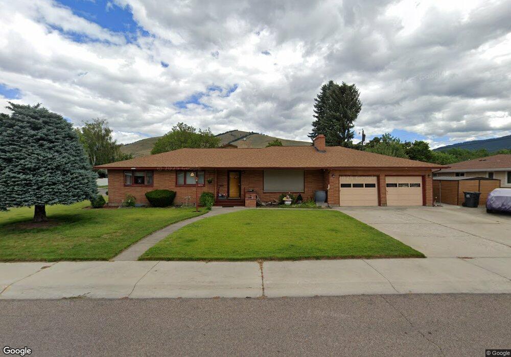
2800 Queen St Missoula, MT 59801
Lewis and Clark NeighborhoodEstimated Value: $598,000 - $670,000
3
Beds
3
Baths
2,906
Sq Ft
$216/Sq Ft
Est. Value
About This Home
This home is located at 2800 Queen St, Missoula, MT 59801 and is currently estimated at $629,115, approximately $216 per square foot. 2800 Queen St is a home located in Missoula County with nearby schools including Lewis & Clark School, Washington Middle School, and Sentinel High School.
Ownership History
Date
Name
Owned For
Owner Type
Purchase Details
Closed on
Mar 12, 2018
Sold by
Kenck Clarence and Estate Of Adalla Kenck
Bought by
Cors Mary Ann K
Current Estimated Value
Home Financials for this Owner
Home Financials are based on the most recent Mortgage that was taken out on this home.
Original Mortgage
$150,000
Outstanding Balance
$127,830
Interest Rate
4.15%
Mortgage Type
New Conventional
Estimated Equity
$501,285
Purchase Details
Closed on
Sep 9, 2011
Sold by
James R & Mavis M Hanson Revocable Trust
Bought by
Kenck Adalia
Create a Home Valuation Report for This Property
The Home Valuation Report is an in-depth analysis detailing your home's value as well as a comparison with similar homes in the area
Home Values in the Area
Average Home Value in this Area
Purchase History
| Date | Buyer | Sale Price | Title Company |
|---|---|---|---|
| Cors Mary Ann K | -- | First American Title | |
| Kenck Adalia | -- | None Available |
Source: Public Records
Mortgage History
| Date | Status | Borrower | Loan Amount |
|---|---|---|---|
| Open | Cors Mary Ann K | $150,000 |
Source: Public Records
Tax History Compared to Growth
Tax History
| Year | Tax Paid | Tax Assessment Tax Assessment Total Assessment is a certain percentage of the fair market value that is determined by local assessors to be the total taxable value of land and additions on the property. | Land | Improvement |
|---|---|---|---|---|
| 2025 | $5,721 | $620,600 | $361,334 | $259,266 |
| 2024 | $5,434 | $446,500 | $159,172 | $287,328 |
| 2023 | $5,294 | $446,500 | $159,172 | $287,328 |
| 2022 | $5,062 | $370,200 | $0 | $0 |
| 2021 | $4,497 | $370,200 | $0 | $0 |
| 2020 | $4,091 | $308,300 | $0 | $0 |
| 2019 | $4,077 | $308,300 | $0 | $0 |
| 2018 | $3,824 | $280,800 | $0 | $0 |
| 2017 | $3,365 | $280,800 | $0 | $0 |
| 2016 | $3,305 | $257,500 | $0 | $0 |
| 2015 | $3,060 | $257,500 | $0 | $0 |
| 2014 | $3,054 | $144,690 | $0 | $0 |
Source: Public Records
Map
Nearby Homes
- 3008 Park St
- 3208 Queen St
- 217 Benton Ave
- 301 Livingston Ave
- 217 Dixon Ave
- 2711 S Higgins Ave
- Lot 26a South Ave W
- 629 North Ave W
- 200 Northview Dr
- 116 South Ave E
- 101 E Central Ave
- 109 E Central Ave
- 100 Pattee Canyon Dr
- 806 Crestmont Way Unit A
- 470 Strand Ave
- 802 Normans Ln
- 110 Hillcrest Loop
- 1220 North Ave W
- 455 Mount Ave
- 3800 S Russell St Unit 1A